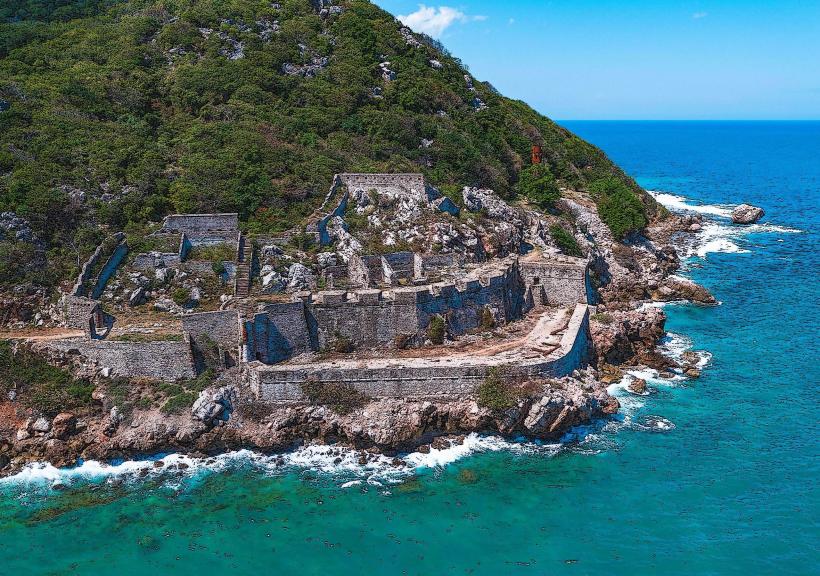
Landmark: Labadee Beach
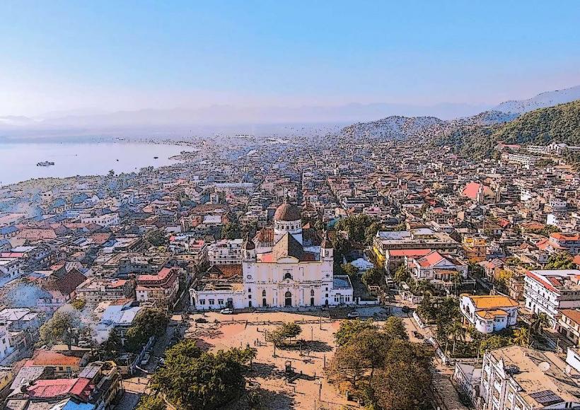
City: Cap Haitien
Country: Haiti
Continent: North America
Labadee Beach, Cap Haitien, Haiti, North America
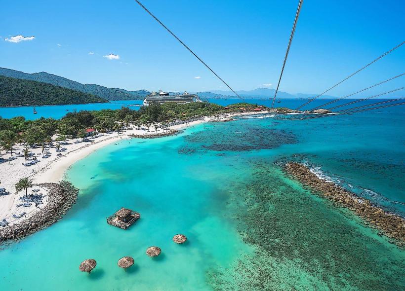
Labadee Beach is a private destination located on the northern coast of Haiti, near the city of Cap-Haïtien.
It is a leased peninsula offering a controlled visitor experience.
Visual Characteristics
The beach features light-colored sand with a fine grain. The water exhibits a clear, turquoise hue, transitioning to deeper blue further offshore. The coastline is fringed with coconut palms and tropical vegetation. The developed areas include various structures constructed from wood and composite materials, painted in bright, tropical colors.
Location & Access Logistics
Labadee is situated approximately 15 kilometers west of Cap-Haïtien. Access is primarily managed through cruise ship arrivals, with tenders disembarking directly at the pier. For independent travelers, access is restricted and typically requires pre-arranged transportation from Cap-Haïtien, involving a drive along Route Nationale 5. Parking is available for authorized vehicles within the secured compound.
Historical & Ecological Origin
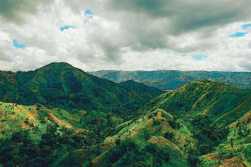
The Labadee peninsula is a natural coastal landform. Historically, it was a small settlement and a trading post. In 1986, Royal Caribbean Cruises Ltd. entered into a lease agreement with the Haitian government for exclusive use of the peninsula as a cruise ship destination. The area's ecological classification is a tropical coastal environment.
Key Highlights & Activities
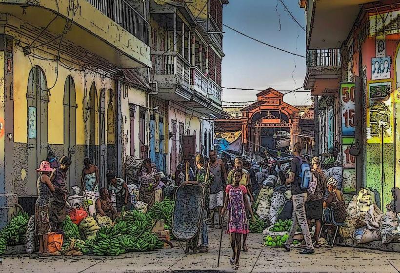
Activities include swimming, sunbathing, and water sports such as jet skiing and parasailing. A zip line course operates from a high point on the peninsula. Snorkeling is possible in designated areas. A market area offers local crafts and souvenirs. Lounging chairs and umbrellas are available for rent.
Infrastructure & Amenities
Restrooms are available throughout the developed areas. Shade is provided by natural vegetation and constructed shelters. Cell phone signal (4G/5G) is generally available. Food and beverage vendors, operated by the cruise line, are present on-site.
Best Time to Visit
The best time for clear water visibility and comfortable temperatures is generally from December to April. Mid-morning offers optimal lighting for photography before the sun reaches its zenith. High tide is not a critical factor for beach access.
Facts & Legends
A specific historical anecdote relates to the peninsula's name, believed to derive from a French pirate named Jean-François de La Boëssière, who reportedly used the area as a base in the 17th century. A unique tip for visitors is to explore the less crowded eastern side of the peninsula for more secluded beach spots.
Nearby Landmarks
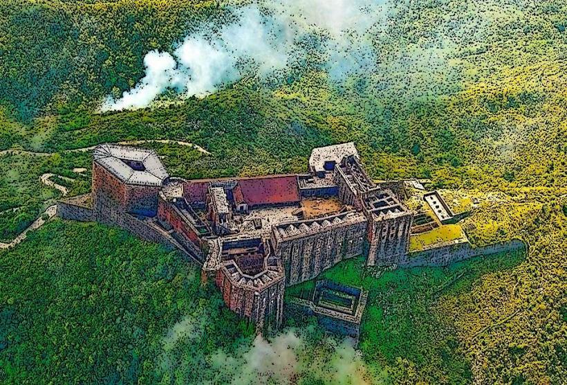
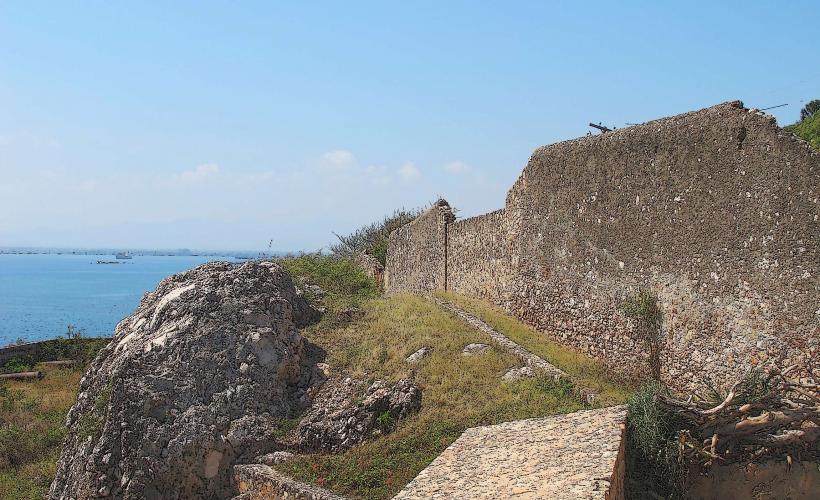
- Citadelle Laferrière (10km Southeast)
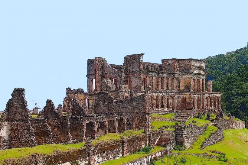
- Sans-Souci Palace (9km Southeast)
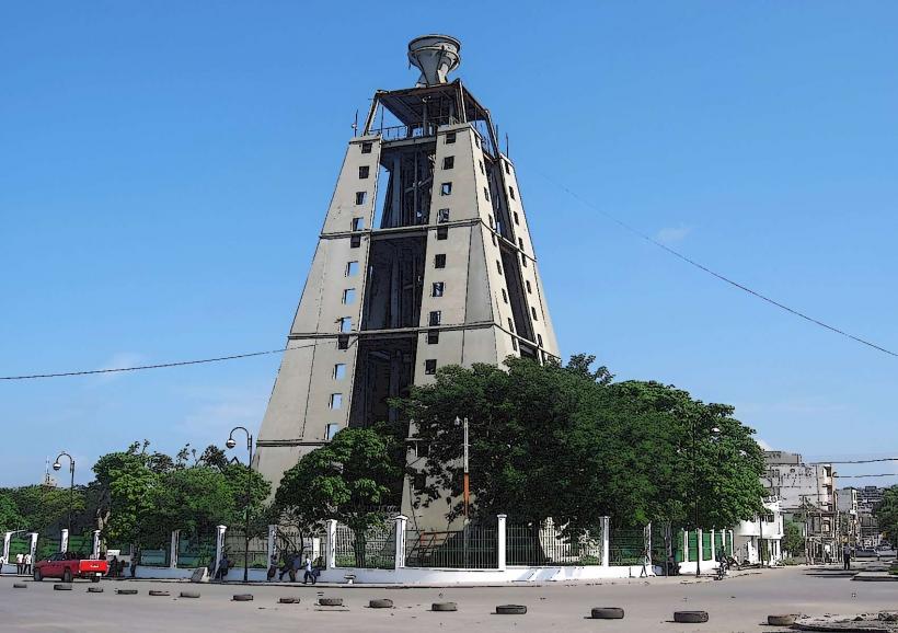
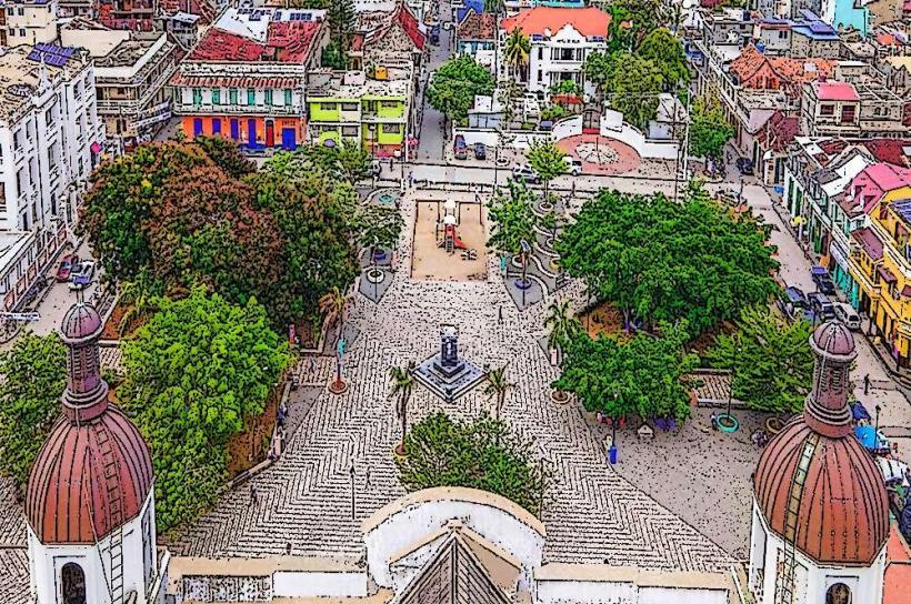
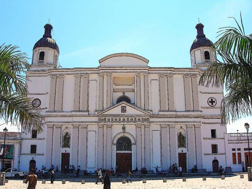
- Cap-Haïtien Cathedral (15km East)
- Fort-Liberté (25km East)