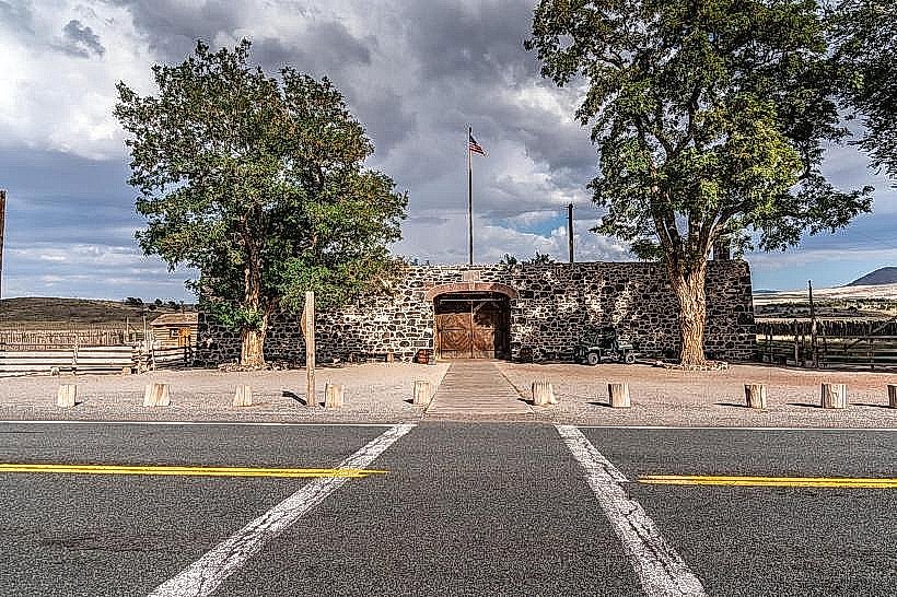
Landmark: Fremont Indian State Park
City: Richfield
Country: USA Utah
Continent: North America
Fremont Indian State Park, Richfield, USA Utah, North America
Fremont Indian State Park is an archaeological site located in central Utah, near the town of Richfield.
The park preserves a significant Fremont culture village and offers insights into the lives of its inhabitants.
Visual Characteristics
The park features a reconstructed Fremont village with adobe structures and rock art panels. The surrounding landscape consists of arid desert terrain with sparse vegetation, primarily sagebrush and juniper. The Sevier River flows through the valley, providing a water source.
Location & Access Logistics
Fremont Indian State Park is situated 22 miles south of Richfield, Utah, directly off Interstate 70 at Exit 42. The park entrance is clearly marked from the interstate. Ample paved parking is available at the visitor center and near the main archaeological sites. No public transport services the park.
Historical & Ecological Origin
The Fremont culture inhabited this region from approximately 700 to 1300 AD. The village at the park was occupied by these indigenous people, who were agriculturalists and hunters. The site was discovered and excavated in the 1960s and 1970s. The geological formation is part of the Colorado Plateau, characterized by sedimentary rock layers.
Key Highlights & Activities
Visitors can explore the reconstructed village, view original rock art panels (petroglyphs and pictographs), and walk the interpretive trails. The park museum displays artifacts recovered from the site. Hiking trails offer access to overlooks of the valley and river. Fishing is permitted in the Sevier River.
Infrastructure & Amenities
Restrooms are available at the visitor center. Shaded picnic areas are provided. Cell phone signal is intermittent within the park boundaries. No food vendors are located within the park; visitors should bring their own provisions.
Best Time to Visit
The best time for photography is during the early morning or late afternoon when the sun angle creates shadows that highlight the rock art and structures. Spring (April-May) and Fall (September-October) offer the most comfortable temperatures for outdoor activities. Summer months can be very hot.
Facts & Legends
A unique aspect of the Fremont culture is their distinctive pottery, often decorated with geometric patterns and anthropomorphic figures. One notable artifact found at the site is a well-preserved Fremont granary, demonstrating their sophisticated storage techniques.
Nearby Landmarks
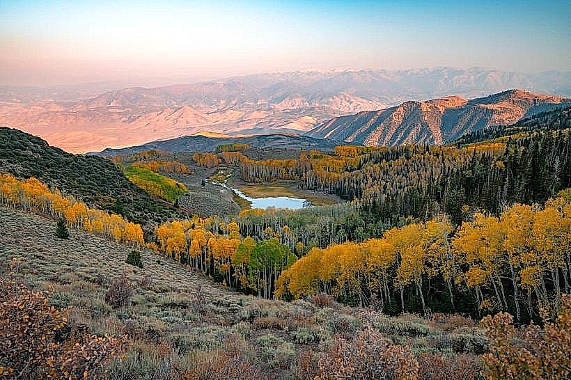
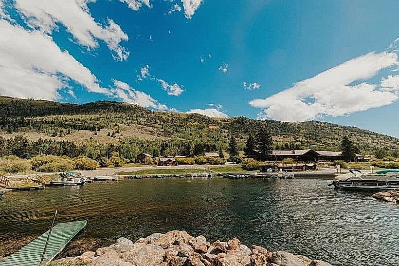
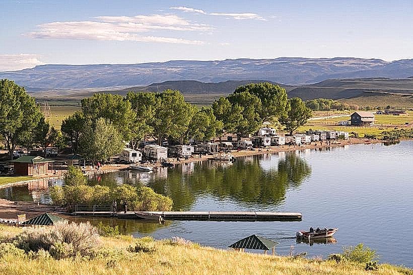
- Fish Lake National Forest (15km Southeast)
- Capitol Reef National Park (70km East)
- Manti-La Sal National Forest (40km Northeast)
- Skyline Drive (Access point 30km East)