Information
Landmark: Golden Gate BridgeCity: San Francisco
Country: USA California
Continent: North America
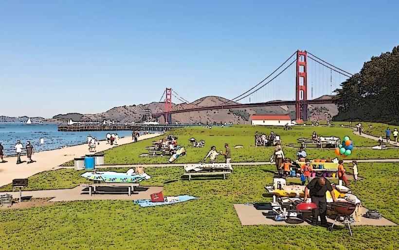
Golden Gate Bridge, San Francisco, USA California, North America
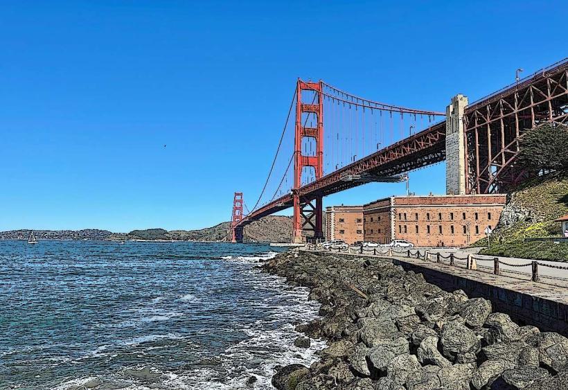
The Golden Gate Bridge is a suspension bridge spanning the Golden Gate, the one-mile-wide strait connecting San Francisco Bay and the Pacific Ocean. It is located in San Francisco, California, USA.
Visual Characteristics
The bridge has a total length of 1.7 miles (2.7 km). Its main span is 4,200 feet (1,280 m) long. The two towers rise 746 feet (227 m) above the water. The structure is painted in a distinctive International Orange color. The deck is 90 feet (27 m) wide and carries six lanes of vehicular traffic, with separate lanes for bicycles and pedestrians on the east and west sides.
Location & Access Logistics
The Golden Gate Bridge is situated at the northern tip of the San Francisco Peninsula. Access from downtown San Francisco is via US Route 101 North, which becomes Golden Gate Bridge Highway. The bridge is approximately 3 miles (4.8 km) north of the city center. Paid parking is available at the Welcome Center on the San Francisco side and at Vista Point on the Marin Headlands side. Public transport options include Golden Gate Transit bus lines 27, 29, and 24, which stop at the bridge's Welcome Center. Ferries to Sausalito and Tiburon offer views of the bridge from the water.
Historical & Ecological Origin
Construction of the Golden Gate Bridge began on January 5, 1933, and was completed on April 19, 1937. It was designed by engineer Joseph Strauss, with consulting architects Irving Morrow and Charles Alton Ellis. The bridge was built to connect San Francisco with Marin County, facilitating transportation and economic development. The strait it spans is a geologically significant feature, formed by tectonic activity and glacial erosion.
Key Highlights & Activities
Pedestrian access is permitted on the east sidewalk during daylight hours. Bicycle access is available on both sidewalks, with designated times for each. Visitors can walk or cycle across the entire span. Photography is a popular activity, particularly during sunrise and sunset. The Welcome Center offers exhibits on the bridge's construction and history.
Infrastructure & Amenities
Restrooms are available at the Welcome Center on the San Francisco side and at Vista Point on the Marin Headlands side. Limited shade is available at the viewpoints. Cell phone signal (4G/5G) is generally available across the bridge and at the viewpoints. Food vendors are typically present at the San Francisco Welcome Center and Vista Point.
Best Time to Visit
For photography, early morning (before 9 AM) or late afternoon (after 4 PM) provides optimal lighting conditions, often with less fog. The months of September and October generally offer the clearest weather and least fog. High tide and low tide do not directly impact access to the bridge itself, but can affect views from the water.
Facts & Legends
The bridge's distinctive International Orange color was chosen by consulting architect Irving Morrow to complement the natural surroundings and enhance visibility in the fog. A local legend suggests that the bridge's construction was aided by a mythical sea creature that helped lift the heavy components into place.
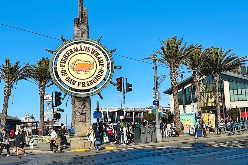
Nearby Landmarks
- Alcatraz Island (2.5km Southeast)
- Palace of Fine Arts (3.0km South)
- Presidio of San Francisco (3.5km South)
- Fort Mason (4.0km Southeast)
- Sausalito (4.5km Northeast)