Landmark: Gouloumbou Bridge
City: Tambacounda
Country: Senegal
Continent: Africa
Gouloumbou Bridge, Tambacounda, Senegal, Africa
The Gouloumbou Bridge is a strategic infrastructure landmark spanning the Gambia River in the Tambacounda Region of eastern Senegal. It serves as a critical transit point on the N6 national road, connecting the regional capital of Tambacounda to the Casamance region and the border with Guinea.
Visual Characteristics
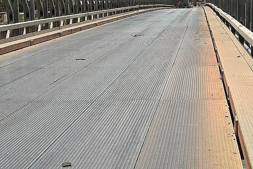
The bridge is a reinforced concrete beam structure characterized by its narrow, linear profile and multiple supporting piers embedded in the riverbed. The roadway is flanked by steel safety railings. From the bridge, the visual landscape is dominated by the wide, slow-moving Gambia River, surrounded by dense gallery forests and high savanna grasses. During the dry season, large sandbanks and rocky outcrops are visible beneath the spans.
Location & Access Logistics
The bridge is located approximately 32km south of the city of Tambacounda. It is a primary node on the N6 highway (the "Route du Sud"). Access is unrestricted for all vehicle types, though it is frequently subject to checkpoints due to its strategic importance. Pedestrians and cyclists from the nearby village of Gouloumbou use the bridge daily to cross between the northern and southern banks.
Historical & Ecological Origin
Gouloumbou has historically been a major crossing point for trade between the Sahelian north and the tropical south. The current bridge replaced more rudimentary crossing methods to facilitate heavy transport and regional integration. Geologically, the river here sits in a deep alluvial basin. The surrounding area is an ecological transition zone where the dry Sudanian savanna meets the more humid riparian vegetation of the Gambia River system.
Key Highlights & Activities
The bridge is a primary site for observing the river’s hippopotamus population, which is frequently seen in the pools just downstream. Artisanal fishing is a central activity, with pirogues operating in the shadows of the bridge pylons. The location is also a major hub for the regional banana trade, as the fertile banks of Gouloumbou are among the most productive banana-growing zones in Senegal.
Infrastructure & Amenities
Infrastructure at the bridge itself is limited to the roadway and pedestrian paths. However, the adjacent village of Gouloumbou offers basic services, including small roadside restaurants (gargotes), kiosks selling local produce, and a gendarmerie post. 4G cellular signal is available but can be intermittent as one moves further into the river valley. There are no formal public restrooms or tourist centers.
Best Time to Visit
The best time for wildlife observation is during the dry season (December to May) when water levels are low and hippos are more stationary in deeper pools. Early morning (07:00–09:00) provides the most temperate climate and the highest probability of bird and hippo sightings. Sunset is the optimal time for photography, with the river reflecting the orange hues of the eastern sky.
Facts & Legends
Gouloumbou is locally famous and sometimes feared for its high density of hippopotamuses, which are known to occasionally conflict with local fishermen. A verified historical fact is that the bridge is a vital link in the Trans-African Highway network, specifically the segment connecting Dakar to Bamako and Conakry, making it essential for West African land-based commerce.
Nearby Landmarks
Gouloumbou Banana Plantations – 0.5km South
Tambacounda City Center – 32.0km North
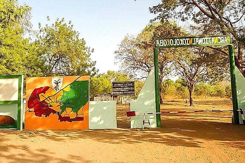
Niokolo-Koba National Park (Dar Salam Entrance) – 65.0km Southeast
Gambia River Banks – 0.0km (Directly beneath)