Landmark: Gunflint Trail
City: Grand Marais
Country: USA Minnesota
Continent: North America
Gunflint Trail, Grand Marais, USA Minnesota, North America
The Gunflint Trail is a 57-mile scenic byway in Cook County, Minnesota, extending from Grand Marais into the Superior National Forest.
Visual Characteristics
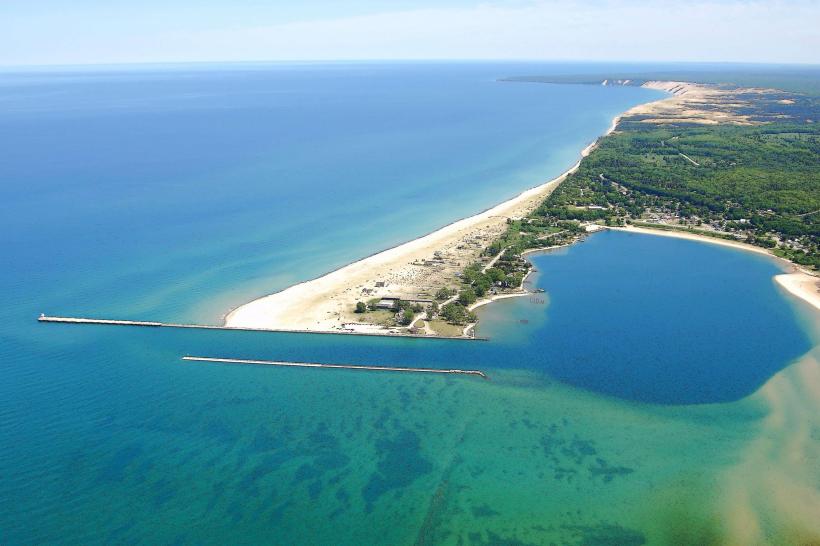
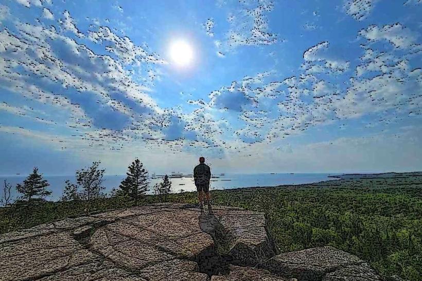
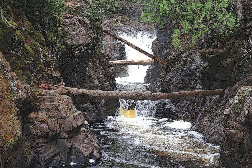
The trail traverses a landscape characterized by boreal forest, numerous lakes, and exposed Precambrian bedrock formations. Expect to see dense stands of pine, spruce, and birch trees. Lake surfaces vary in color from deep blue to green depending on depth and light conditions. Rock outcrops, often granite and basalt, are visible along the route, particularly near lake shores and in cleared areas.
Location & Access Logistics
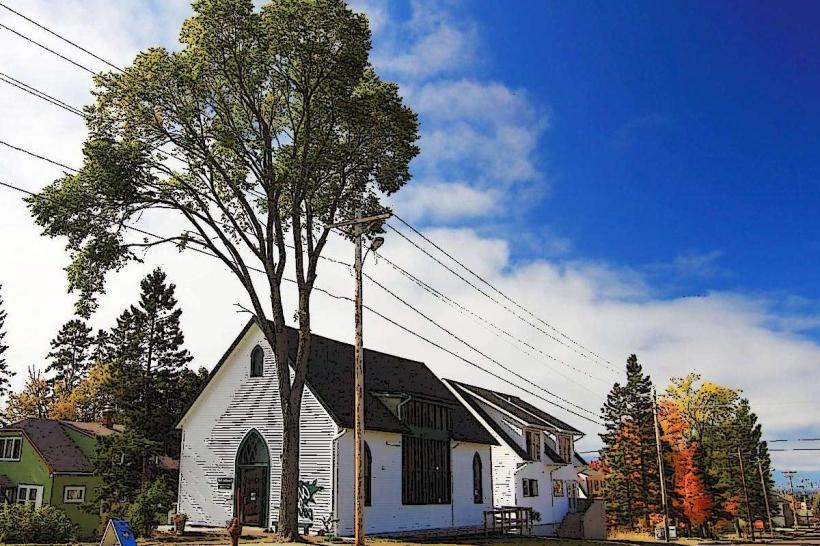
The Gunflint Trail begins at the intersection of State Highway 61 and Cook County Road 12 in Grand Marais, Minnesota. It is approximately 0.5km west of the Grand Marais city center. Parking is available at various points along the trail, including designated pull-offs and at outfitters and resorts. Public transport is not available directly on the Gunflint Trail; access is primarily via private vehicle. The nearest major airport is Duluth International Airport (DLH), located approximately 240km southwest.
Historical & Ecological Origin
The Gunflint Trail follows an ancient Anishinaabe portage route connecting Lake Superior to the interior lake systems. The modern road was developed in the early 20th century, primarily to support logging and later, tourism and recreation. Ecologically, the area is part of the Laurentian Mixed Forest Province, shaped by glacial activity and characterized by its extensive network of interconnected lakes and forests.
Key Highlights & Activities
Activities include driving the scenic route, fishing on numerous lakes (e.g., Saganaga Lake, Gunflint Lake), canoeing and kayaking, hiking on trails such as the Border Route Trail, and wildlife viewing (moose, black bears, wolves). Designated public access points for boating are available at several lake landings.
Infrastructure & Amenities
Restrooms are available at some public access points and within resorts and outfitters along the trail. Shade is abundant within the forest. Cell phone signal is intermittent and generally poor to non-existent for large sections of the trail. Limited food vendors and general stores are located at intervals, primarily associated with resorts.
Best Time to Visit
For photography, early morning and late afternoon offer optimal lighting conditions due to the angle of the sun. The best months for weather are typically June through September, offering warmer temperatures and fewer insects. Fall colors are prominent in late September and early October. Ice-out on lakes typically occurs in late April or early May, marking the start of the boating season.
Facts & Legends
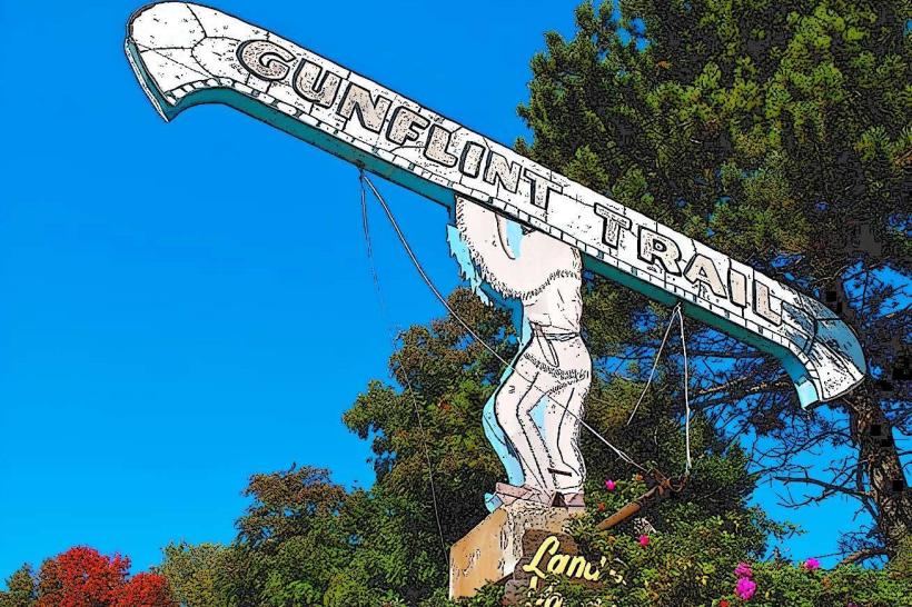
The trail is named after the "Gunflint," a type of flint used for making sparks, which was historically traded by Indigenous peoples in the region. A notable geological feature is the Gunflint Chert, a sedimentary rock formation containing some of the oldest evidence of life on Earth, dating back over 1.8 billion years.
Nearby Landmarks
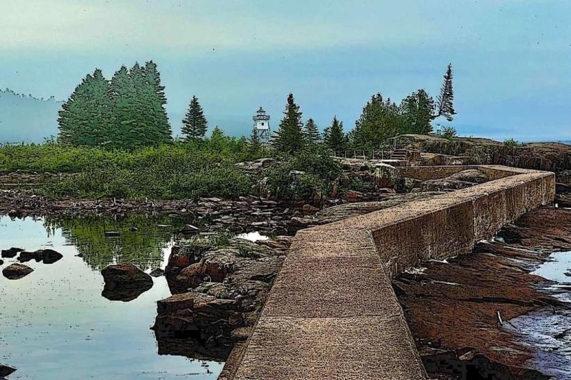
- Grand Marais Lighthouse (0.8km East)
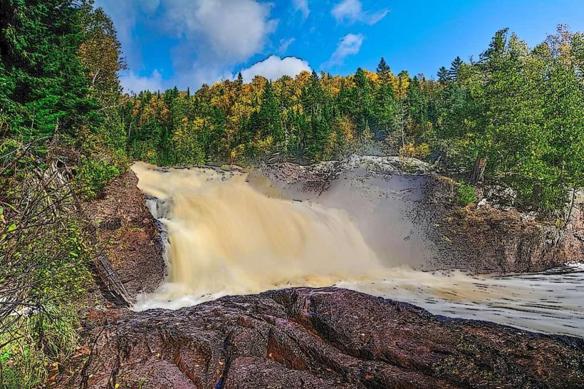
- Judge C.R. Magney State Park (25km Northeast)
- Cascade River State Park (35km East)
- Lutsen Mountains Ski Resort (50km Southeast)
- Voyageurs National Park (120km West)