Landmark: Judge C.R. Magney State Park
City: Grand Marais
Country: USA Minnesota
Continent: North America
Judge C.R. Magney State Park, Grand Marais, USA Minnesota, North America
Judge C.R. Magney State Park is a protected area located in Grand Marais, Minnesota, USA.
The park encompasses 4,500 acres along the North Shore of Lake Superior.
Visual Characteristics
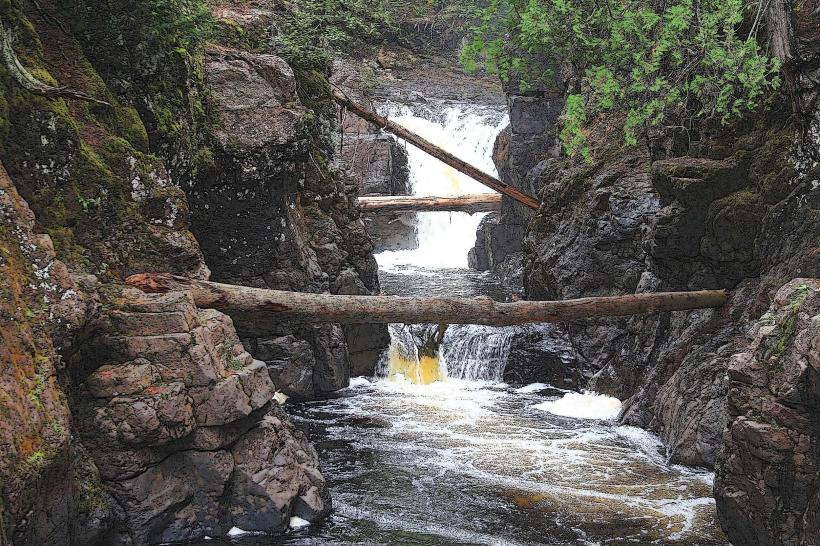
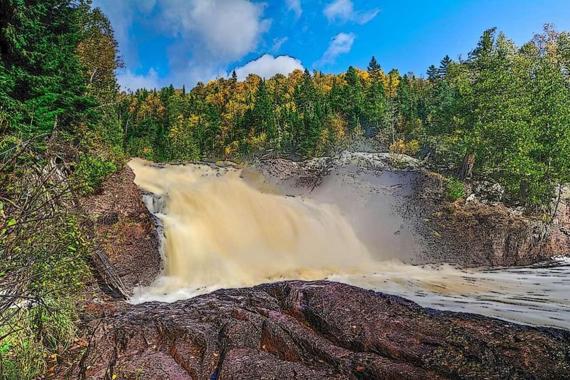
The park features a rugged shoreline with exposed bedrock formations. Inland, the terrain is characterized by mixed coniferous and deciduous forests, with dense undergrowth in many areas. The Brule River flows through the park, creating waterfalls and rapids. Water color in the river varies from clear to brown depending on recent rainfall and sediment load. Rock types include Precambrian volcanic and sedimentary rocks.
Location & Access Logistics
Judge C.R. Magney State Park is situated approximately 15 miles northeast of Grand Marais, Minnesota. Access is via State Highway 61. The park entrance is clearly marked from the highway. Ample parking is available at the main visitor center and at trailheads throughout the park. No public transport directly serves the park; private vehicle is the primary mode of access.
Historical & Ecological Origin
The park was established in 1963 and named after Judge C.R. Magney, a former Minnesota Supreme Court justice and conservationist. The land was acquired through a combination of state purchases and donations. Ecologically, the area is part of the Laurentian Mixed Forest Province, characterized by its transition zone between boreal and deciduous forests. The geology is dominated by ancient volcanic activity and sedimentary deposition from the Precambrian era.
Key Highlights & Activities
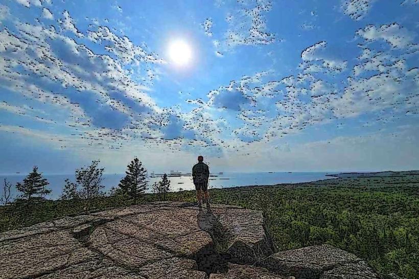
Hiking is a primary activity, with trails such as the Superior Hiking Trail passing through the park. Specific trails include the Devil's Kettle Trail, which leads to a unique waterfall where one cascade disappears into a hole in the rock. Fishing is permitted in the Brule River for brook trout and other species, subject to state regulations. Birdwatching is also a common activity, particularly during migration seasons.
Infrastructure & Amenities
Restrooms are available at the main visitor center and at select trailheads. Picnic areas with tables and grills are provided. Limited shade is available in designated picnic spots and along some forested trails. Cell phone signal (4G/5G) is intermittent within the park, with better reception closer to Highway 61. No food vendors are located within the park; visitors should bring their own provisions.
Best Time to Visit
For photography, early morning and late afternoon offer optimal lighting conditions for the waterfalls and forest landscapes. The best months for visiting are from May through October, when trails are generally clear of snow and ice. Summer months (June-August) offer the warmest weather. Fall foliage is typically at its peak in late September to early October. No tide-dependent activities are relevant to this inland park.
Facts & Legends
The Devil's Kettle waterfall is a notable geological feature. The water from the upper cascade flows into a hole in the rock and disappears, with its exit point remaining a subject of local speculation and scientific inquiry. While many theories exist, the water is believed to eventually rejoin the main river downstream, though its exact path is unconfirmed.
Nearby Landmarks
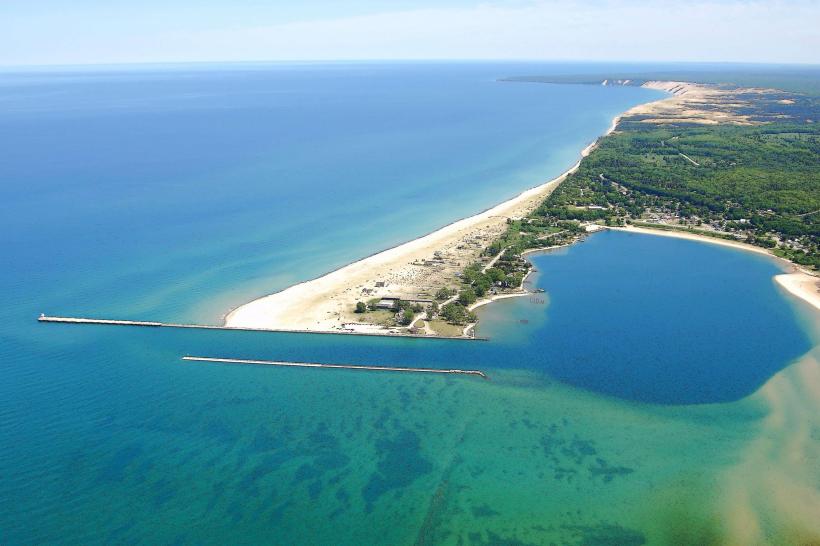
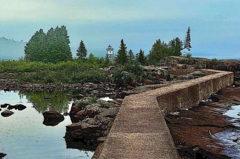
- Grand Marais Lighthouse (15km Southwest)
- Oberg Mountain (10km Southwest)
- Tettegouche State Park (30km Southwest)
- Cascade River State Park (5km Southwest)
- Hovland Woods State Natural Area (10km Northeast)