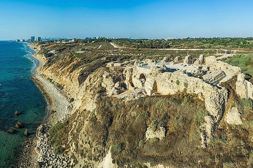
Landmark: Herzliya Coastal Cliff
City: Herzliya
Country: Israel
Continent: Asia
Herzliya Coastal Cliff, Herzliya, Israel, Asia
The Herzliya Coastal Cliff is a steep geological formation extending along the western edge of Herzliya, overlooking the Mediterranean Sea. It serves as a natural barrier between the city's residential districts and the coastal shoreline, forming the high-altitude landscape for the northern Sharon region.
Visual Characteristics
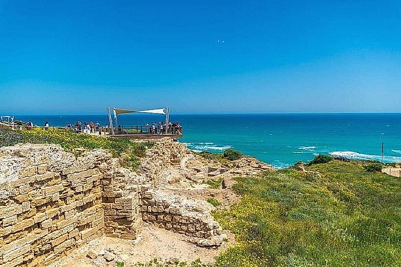
The cliff is a vertical wall of kurkar (calcareous sandstone) and reddish Hamra soil, rising up to 50 meters above the sea level. Its surface is rugged and porous, often showing distinct horizontal layers of sedimentary deposition and erosion. The vegetation on the upper plateau consists of hardy coastal shrubs and sea squills, while the base meets the sandy beaches or rocky tide pools of the Mediterranean.
Location & Access Logistics
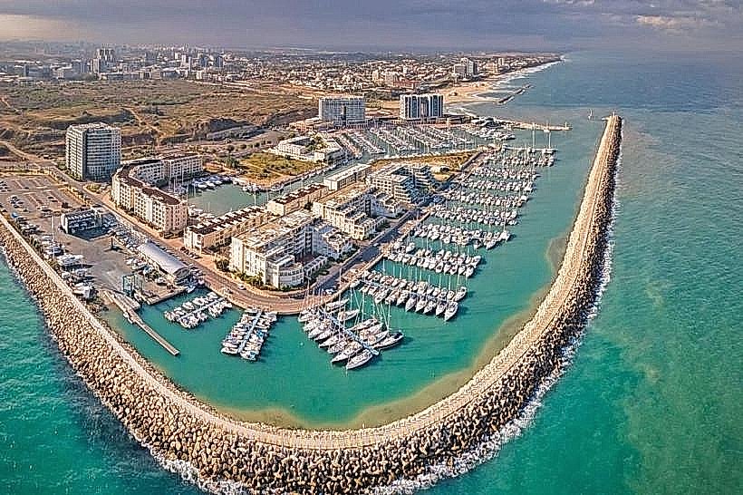
The cliff parallels the shoreline from the Herzliya Marina in the south to Apollonia National Park in the north. Primary access is via Wingate Street or Ramat Yam Street. Public transport is available through bus line 29 from the Herzliya train station or line 90 from Tel Aviv. Parking is available in paved lots at the Apollonia entrance or the various beach access points such as Acadia Beach.
Historical & Ecological Origin
Geologically, the cliff is part of the Sharon plain's quaternary ridge system, formed by the lithification of ancient sand dunes over thousands of years. It is an active geological site characterized by significant natural erosion; historical records and recent geological surveys indicate an average retreat rate of several centimeters per year due to wave action and weathering.
Key Highlights & Activities
The cliff is a primary site for tandem paragliding, as the vertical face creates consistent upward air currents. A section of the Israel National Trail runs along the upper ridge, providing paths for hiking and coastal photography. In the northern section, the cliff houses the archaeological ruins of a Crusader-era fortress within the Apollonia grounds.
Infrastructure & Amenities
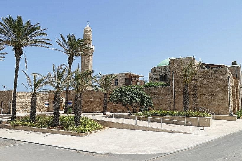
The upper ridge features paved walking paths in developed areas and dirt trails in natural zones. Public restrooms and water fountains are available at the park entrances and nearby beaches, but are absent from the mid-cliff trails. 5G cellular signal is strong throughout the area. Shade is minimal, provided only by occasional pergolas or the walls of the Sidna Ali Mosque.
Best Time to Visit
Photography is most effective during the late afternoon "golden hour" when the sun illuminates the yellow sandstone against the sea. The months of February and March are ideal for seeing the local flora in bloom. Visitors are advised to stay on marked trails and avoid the cliff edge during or after heavy rainfall due to the risk of landslides.
Facts & Legends
A historical oddity involves the frequent collapses of the cliff face, which have occasionally revealed ancient artifacts and structures previously buried under the sand. Local lore also connects the caves found in the lower cliff sections to various hermits and clandestine maritime scouts from the pre-state era.
Nearby Landmarks
Sidna Ali Mosque – 0.1km North
Apollonia National Park – 0.6km North
Herzliya Marina – 2.4km South
Acadia Beach – 1.8km South
Seven Stars Mall – 3.2km East