Landmark: Waterfront
City: Herzliya
Country: Israel
Continent: Asia
Waterfront, Herzliya, Israel, Asia
The Herzliya Waterfront is a 7-kilometer coastal stretch in Herzliya consisting of organized beaches and a massive commercial marina. It is situated on the central Mediterranean coast of Israel, characterized by its wide sandy bays and a high-density tourist district.
Visual Characteristics
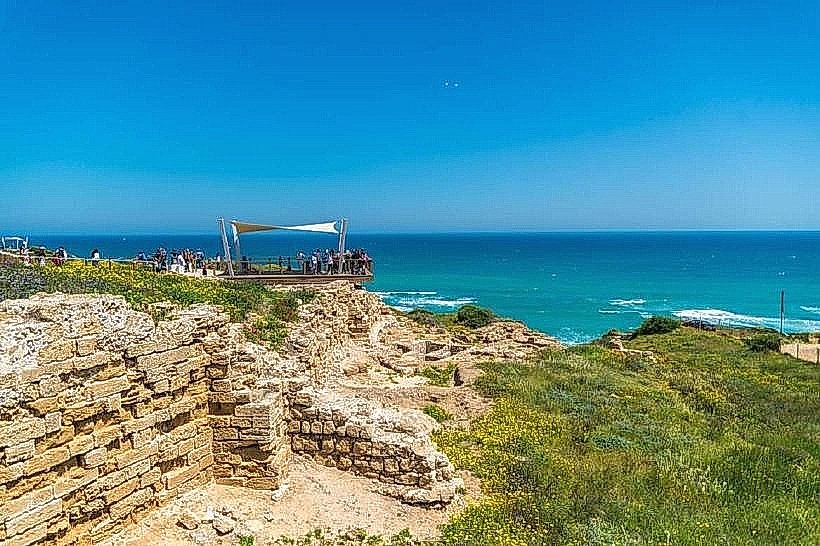
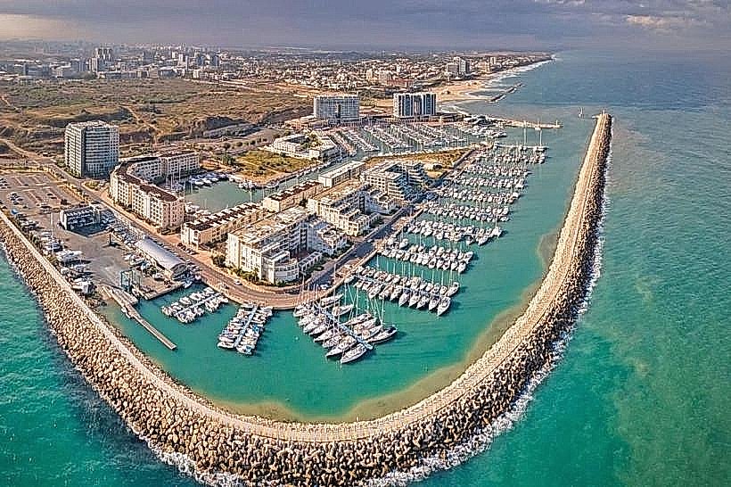
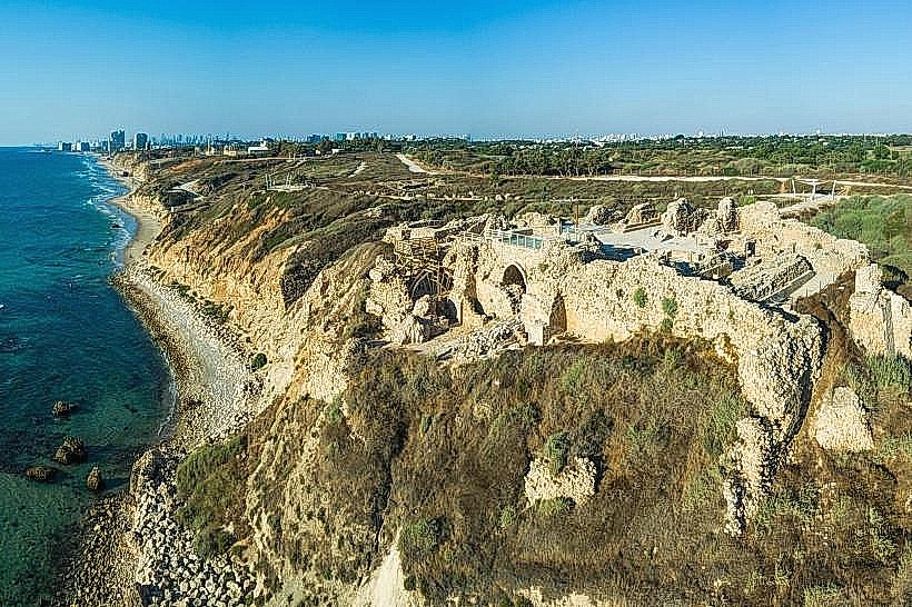
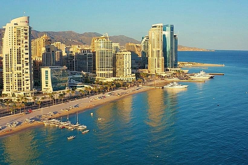
The area features expansive sandy beaches with light-colored, fine-grained sand and clear blue waters. The northern section is dominated by high kurkar (sandstone) cliffs, while the southern section is flat and occupied by the massive concrete and stone breakwaters of the marina. The architectural style along the shoreline is modern, featuring luxury high-rise hotels and glass-fronted commercial buildings.
Location & Access Logistics
The waterfront is located in the Herzliya Pituach district, approximately 12 kilometers north of Tel Aviv. Primary access is via Route 2, exiting at the Seven Stars or Kfar Shmaryahu interchanges and heading west toward the sea. Public transport is serviced by Egged bus lines 29 and 90, which connect to the Herzliya train station and Tel Aviv. Extensive underground parking is available at the Arena Mall, and multiple paved lots are situated along Ramat Yam Street.
Historical & Ecological Origin
The development of the waterfront began in the early 1950s as the city expanded toward the coast. The construction of the marina in the 1990s significantly altered the shoreline, creating a protected basin but also impacting the natural drift of sand. The northern cliffs are part of a geological formation of fossilized sand dunes that are under strict environmental protection to prevent erosion.
Key Highlights & Activities
Sailing and yachting are the primary activities centered around the marina. The beaches, such as Acadia and HaSharon, are hubs for surfing, paddleboarding, and volleyball. The waterfront also features a continuous paved promenade used for jogging and walking, connecting the archaeological site of Apollonia in the north to the marina in the south.
Infrastructure & Amenities
The waterfront is highly developed, featuring public restrooms, outdoor showers, and shaded pergolas at regular intervals. It includes a wide array of food vendors, from beach kiosks to high-end restaurants. The area has full 5G cellular coverage and is largely wheelchair accessible via ramps and the elevators in the marina and mall complexes.
Best Time to Visit
The best months for weather and swimming are May through October. For photography, the hour before sunset is ideal, as the sun sets directly over the Mediterranean, providing backlighting for the marina's masts and the sandstone cliffs. High-tide conditions are rarely a logistical barrier due to the wide nature of the beaches and the presence of breakwaters.
Facts & Legends
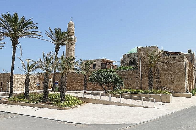
The Herzliya Waterfront is home to the "Sidna Ali" site, where a local legend tells of a 13th-century holy man whose tomb remained miraculously untouched during various military conquests of the cliffside. The marina itself is built on a site that once served as a small, natural anchorage used by Phoenician traders.
Nearby Landmarks
Sidna Ali Mosque – 0.5km North
Apollonia National Park – 1.2km North
Arena Mall – 0.2km East
Herzliya Marina – 0.1km South
Seven Stars Mall – 3.5km East