Information
Landmark: Indian CanyonsCity: Palm Springs
Country: USA California
Continent: North America
Indian Canyons, Palm Springs, USA California, North America
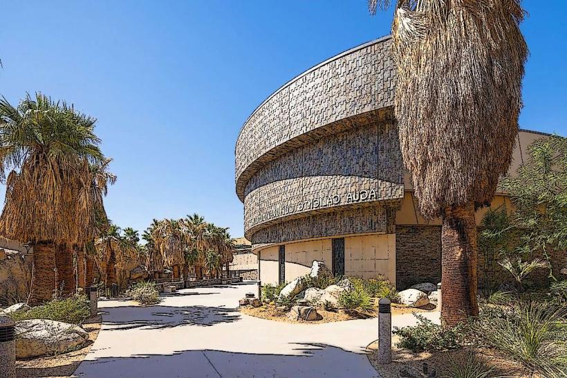
Indian Canyons is a protected area featuring a network of palm oases and desert canyons located on the Agua Caliente Band of Cahuilla Indians Reservation in Palm Springs, California.
This site preserves significant natural and cultural resources, offering a glimpse into the desert environment and the history of its indigenous inhabitants.
Visual Characteristics
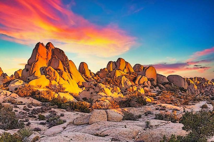
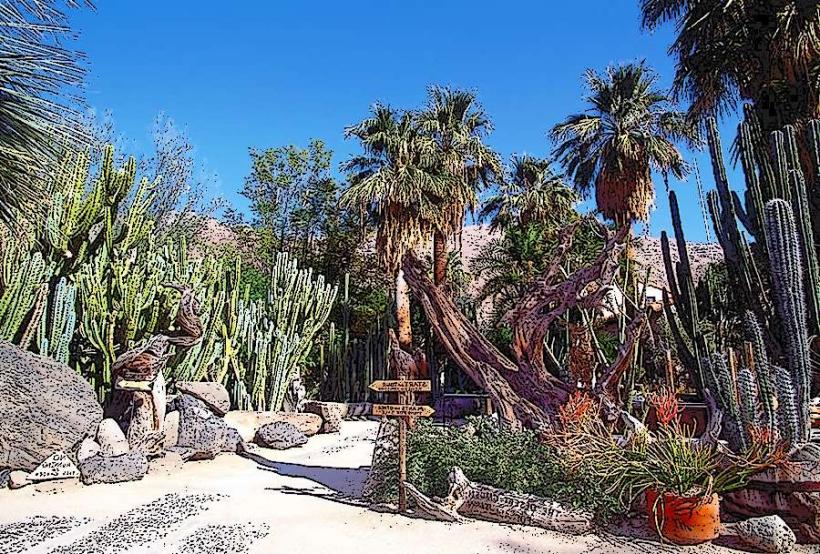
The canyons are characterized by steep, rocky walls, primarily composed of granite and metamorphic rock. The dominant vegetation includes California Fan Palms (Washingtonia filifera) clustered along the canyon floors and near water sources. Desert flora such as creosote bush, ocotillo, and various cacti are present on the surrounding slopes. Watercourses within the canyons are typically dry except after rainfall, at which point they form ephemeral streams and pools.
Location & Access Logistics
Indian Canyons is situated approximately 4.8 kilometers (3 miles) southeast of downtown Palm Springs. Access is via South Palm Canyon Drive, which leads to the reservation entrance. A fee is required for entry. Parking is available at the main visitor area. Public transportation to the immediate vicinity is limited; the closest bus stop is several kilometers away, requiring a taxi or ride-share service for the final approach.
Historical & Ecological Origin
The canyons are geologically formed by tectonic uplift and erosion over millions of years. Ecologically, they represent a unique desert oasis environment sustained by natural springs and seasonal rainfall, supporting a distinct microclimate. The area has been inhabited by the Agua Caliente Band of Cahuilla Indians for at least 2,000 years, serving as a vital source of water, food, and shelter.
Key Highlights & Activities
Hiking is the primary activity, with marked trails of varying difficulty. Key trails include the Andreas Canyon Trail (1.6 km loop), the Murray Canyon Trail (4 km loop), and the Palm Canyon Trail (2.4 km loop). The Palm Canyon Trail leads to the largest fan palm oasis. Birdwatching is possible, particularly for desert species. Photography is permitted.
Infrastructure & Amenities
Restrooms are available at the main visitor area. Limited shade is provided by palm trees and rock overhangs within the canyons. Cell phone signal is intermittent to non-existent within the canyons themselves, though it may be available at the entrance and parking area. No food vendors are present within the canyons; visitors should bring their own provisions.
Best Time to Visit
The best time for hiking is during the cooler months, from October through May. Mornings are generally best for comfortable temperatures and softer light for photography. During summer months (June-September), temperatures can exceed 38°C (100°F), making daytime visits hazardous. There are no tide requirements as the site is inland.
Facts & Legends
The Agua Caliente Band of Cahuilla Indians consider these canyons sacred ancestral lands. A specific geological feature within Andreas Canyon is known as "The Chessboard" due to its patterned rock formations. Visitors are instructed to stay on marked trails to protect the fragile desert ecosystem and cultural sites.
Nearby Landmarks
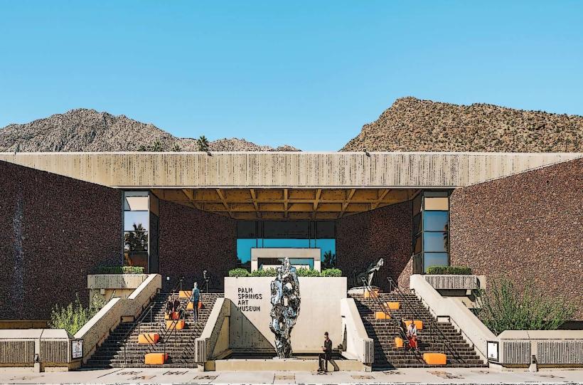
- Palm Springs Art Museum (3.5km Northwest)
- Moorten Botanical Garden (3.0km Northwest)
- Tahquitz Canyon (6.0km Southeast)
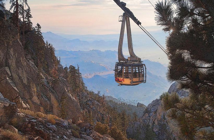
- Palm Springs Aerial Tramway (8.0km West)