Information
Landmark: San Jacinto MountainCity: Palm Springs
Country: USA California
Continent: North America
San Jacinto Mountain, Palm Springs, USA California, North America
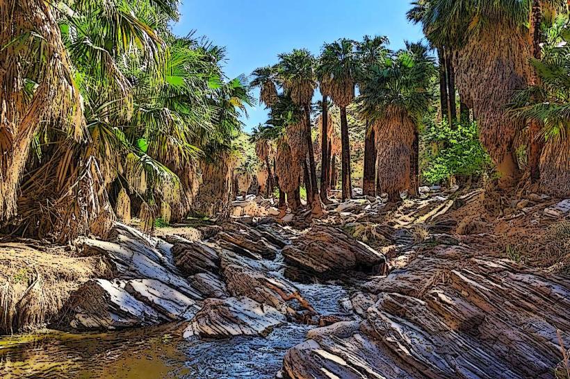
San Jacinto Mountain is a prominent peak located in Riverside County, California, within the San Bernardino National Forest. It is situated directly east of Palm Springs.
Visual Characteristics
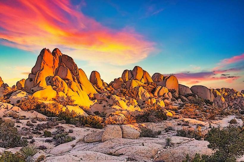
The mountain's summit reaches an elevation of 10,834 feet (3,302 meters). Its slopes are characterized by dense coniferous forests at higher elevations, transitioning to chaparral and scrub oak at lower altitudes. Exposed granite formations are visible on many of the steeper faces. Snow is present on the summit from late autumn through spring.
Location & Access Logistics
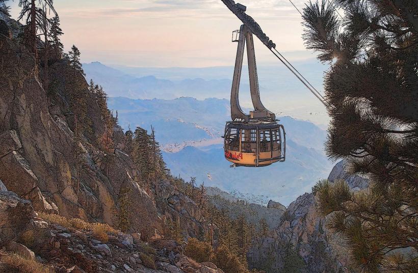
Access to the summit is primarily via the Palm Springs Aerial Tramway, which departs from a station located at 850 Tramway Road, approximately 4 miles (6.4 km) northwest of downtown Palm Springs. The tramway ride takes approximately 10 minutes. For those hiking, trailheads are accessible from the Idyllwild area, requiring a drive of approximately 1 hour from Palm Springs via Highway 243. Limited parking is available at the tramway's Valley Station and at various trailheads in Idyllwild. No direct bus service reaches the summit; however, local Palm Springs buses connect to the tramway's base.
Historical & Ecological Origin
San Jacinto Mountain is part of the Peninsular Ranges, a geological province formed by tectonic uplift and erosion. Its current form is largely a result of Pleistocene glaciation, which carved out cirques and U-shaped valleys. The mountain is a significant ecological transition zone, supporting diverse plant communities from desert scrub to alpine flora. It is also a critical habitat for the endangered Peninsular bighorn sheep.
Key Highlights & Activities
Activities include hiking on over 50 miles of trails, including sections of the Pacific Crest Trail. The summit area offers opportunities for snowshoeing and cross-country skiing during winter months. The Palm Springs Aerial Tramway provides panoramic views during its ascent and descent. Observation decks at the Mountain Station offer expansive vistas of the Coachella Valley.
Infrastructure & Amenities
The Mountain Station at the tramway's upper terminus includes restrooms, a gift shop, and two restaurants. Cell phone signal (4G/5G) is generally available at the Mountain Station and along some of the more developed trails, but can be intermittent in remote areas. There are no food vendors on the trails themselves, but services are available in the nearby town of Idyllwild.
Best Time to Visit
For hiking and general exploration, the months of April through October offer the most favorable weather. Summer (June-August) can be hot at lower elevations but pleasant at the summit. Winter (November-March) is suitable for snow-based activities, but trail conditions can be hazardous due to ice and snow. The tramway operates year-round. Mid-morning offers good lighting for photography of the valley floor.
Facts & Legends
The San Jacinto fault zone runs along the western base of the mountain, indicating significant seismic activity in its geological history. A local legend speaks of a Native American spirit guardian residing on the peak, influencing weather patterns.
Nearby Landmarks
- Palm Springs Aerial Tramway Valley Station (0.2km West)
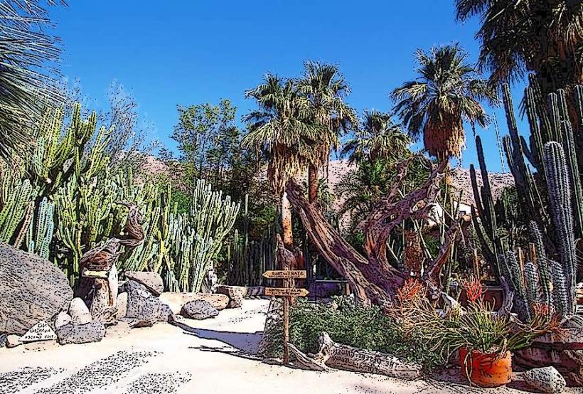
- Indian Canyons (10km Southwest)
- Tahquitz Canyon (12km Southwest)
- Mount San Gorgonio (25km Northeast)
- Joshua Tree National Park (40km East)