Landmark: Karkar island
City: Madang
Country: Papua New Guinea
Continent: Australia
Karkar island, Madang, Papua New Guinea, Australia
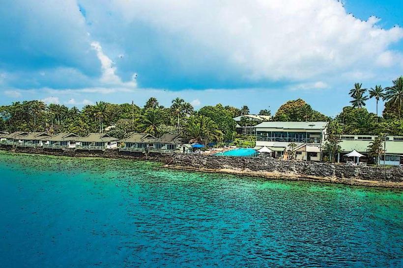
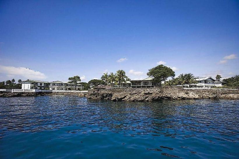
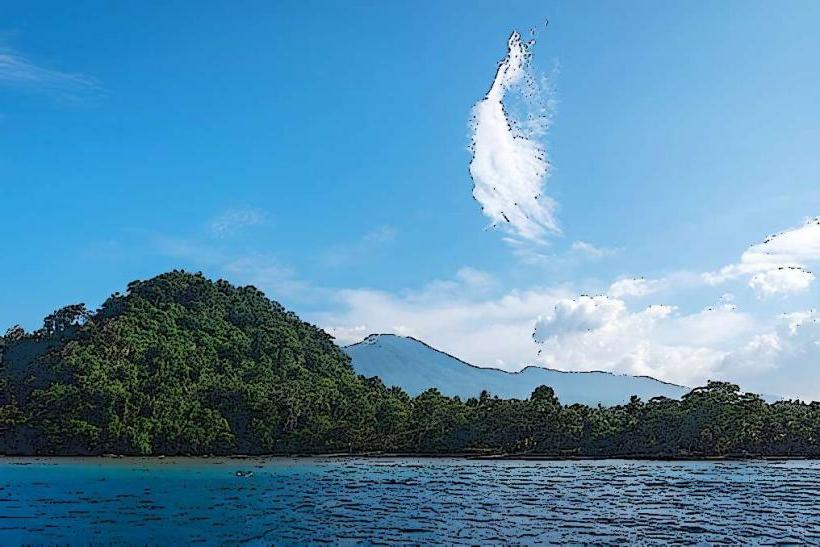
Karkar Island is a large volcanic island situated off the coast of mainland Papua New Guinea, north of the city of Madang.
Visual Characteristics
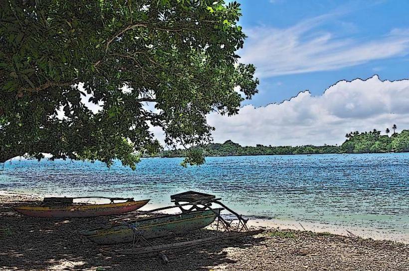
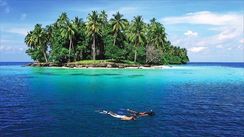
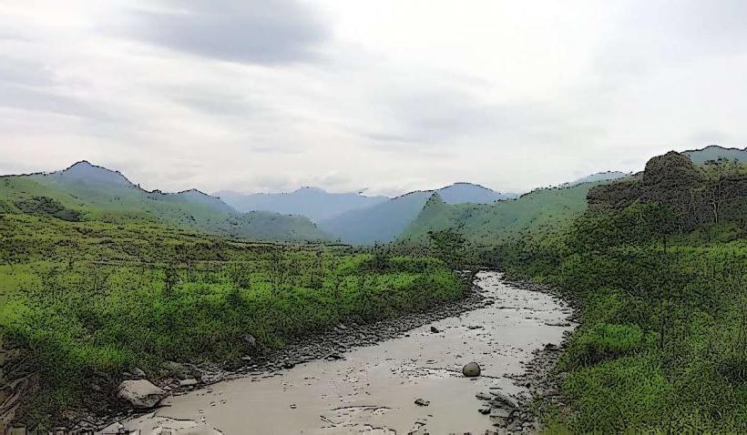
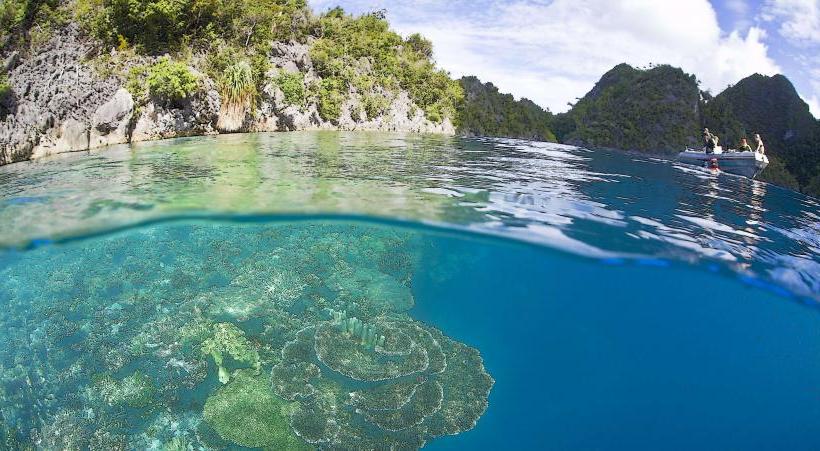
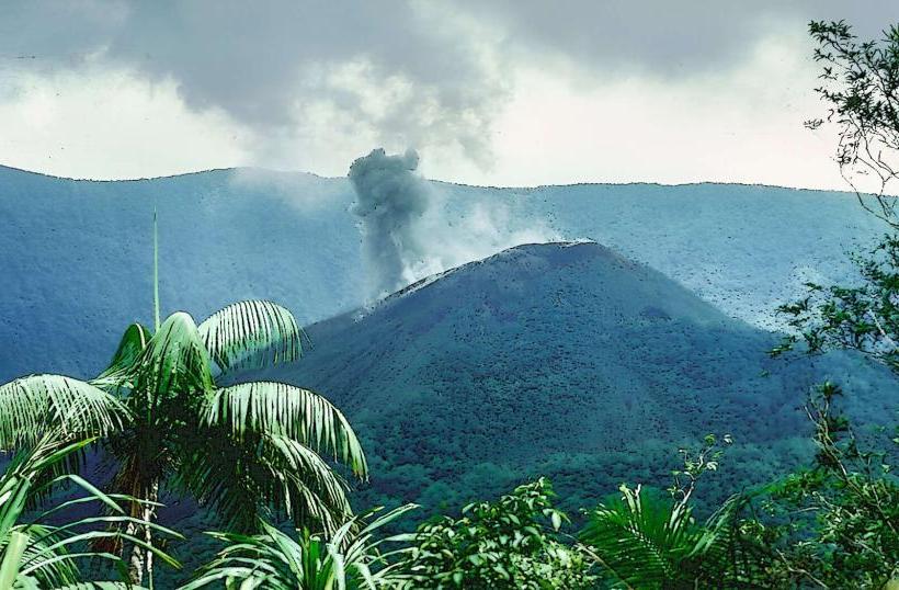
The island is characterized by two prominent volcanic cones, Mount Ulawan and Mount Tavui, with the latter being dormant. Its coastline features a mix of black sand beaches and coral reefs. The interior is covered in dense tropical rainforest, with volcanic soil supporting agricultural plantations.
Location & Access Logistics
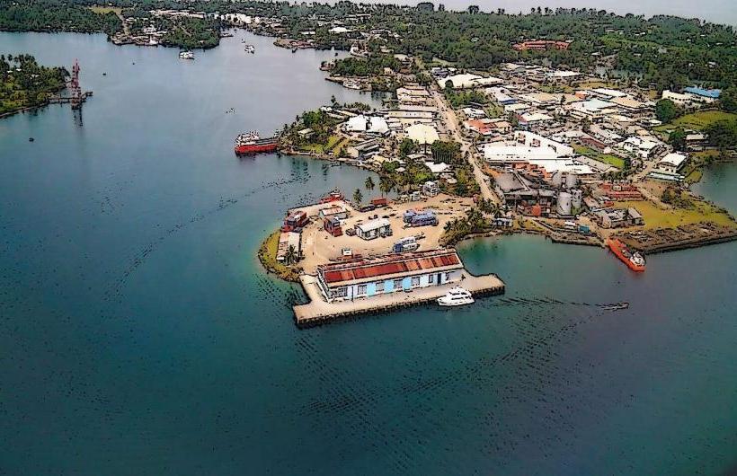
Karkar Island is located approximately 30 kilometers north of Madang. Access is primarily via boat or small aircraft. Regular boat services operate from Madang town to various points on the island, with journey times varying between 2 to 4 hours depending on sea conditions. There is a small airstrip on the island for chartered flights.
Historical & Ecological Origin
Karkar Island is a stratovolcano formed by volcanic activity. Its geological origin dates back to the Quaternary period. The island's fertile volcanic soil has historically supported agriculture, with copra and cocoa being significant crops.
Key Highlights & Activities
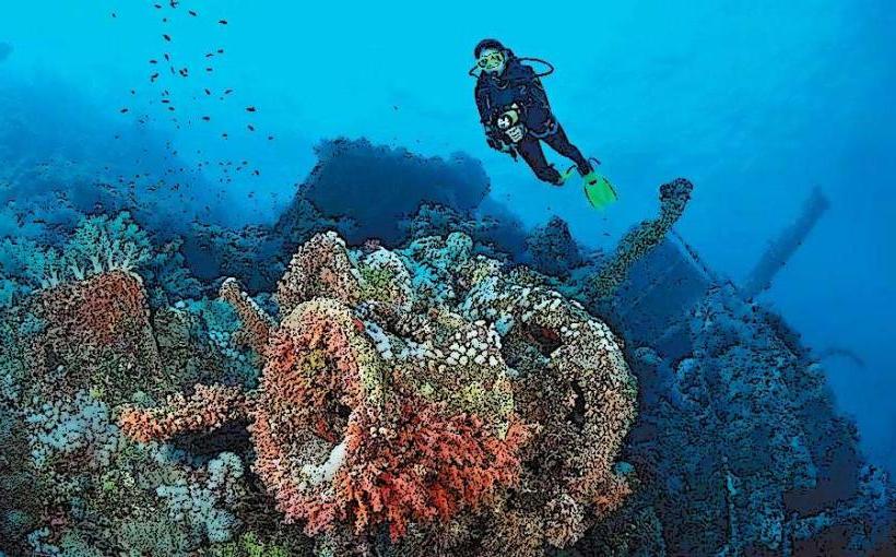
Activities include exploring the volcanic landscapes, visiting local villages to observe traditional life, and snorkeling or diving around the coral reefs. Hiking trails exist, particularly around the volcanic cones, though they may require local guides. Birdwatching is also a notable activity due to the island's diverse avian population.
Infrastructure & Amenities
Basic infrastructure is present in the main villages, including small aid posts and local markets. Accommodation options are limited, often consisting of guesthouses or homestays. Cell phone signal can be intermittent, particularly in the interior. Food vendors are typically found in village centers.
Best Time to Visit
The dry season, from May to October, generally offers more favorable weather conditions for travel and outdoor activities. The best time of day for photography depends on the specific location; early morning and late afternoon provide softer light. High tide is generally preferable for accessing some reef areas.
Facts & Legends
Local folklore speaks of spirits inhabiting the volcanic peaks. A unique aspect of Karkar is its distinct dialect groups, with the northern and southern parts of the island having different languages and cultural practices.
Nearby Landmarks
- Bagabag Island (15km Northwest)
- Long Island (40km Southeast)
- Madang Town (30km Southwest)
- Rai Coast (50km East)