Landmark: Ramu River
City: Madang
Country: Papua New Guinea
Continent: Australia
Ramu River, Madang, Papua New Guinea, Australia
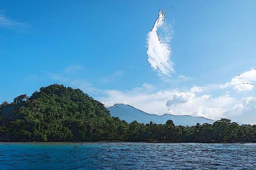
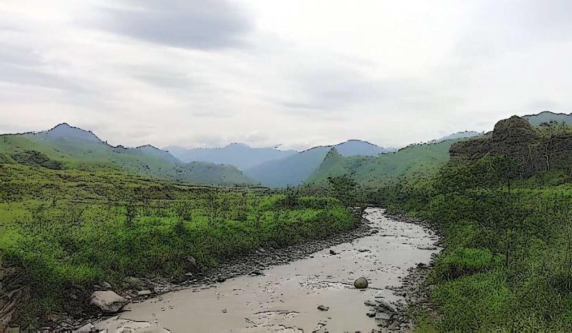
The Ramu River is a major river system located in the Madang Province of Papua New Guinea. It flows from the central highlands to the Bismarck Sea.
Visual Characteristics
The river's water color varies from muddy brown to a darker, sediment-laden hue depending on rainfall and upstream activity. The riverbanks are characterized by dense tropical rainforest vegetation, including palm trees, ferns, and various hardwood species. The terrain surrounding the river is generally low-lying and marshy in its lower reaches, becoming more rugged and mountainous in its upper course.
Location & Access Logistics
The Ramu River is accessible via the Ramu Highway (Highlands Highway) which runs parallel to its upper and middle sections. The nearest major city is Madang, approximately 100 kilometers east of the river's mouth. Access points for smaller vessels are available at villages like Usino Bundi. Road conditions can be poor, especially during the wet season. There are no dedicated public transport services directly to the river; travel typically requires private vehicles or chartered transport.
Historical & Ecological Origin
The Ramu River is a natural river system formed by the geological processes of the New Guinea highlands. Its drainage basin covers a significant portion of the island's interior. Ecologically, it is a freshwater river system supporting a diverse range of aquatic life and riparian habitats. The river's course has been shaped over millennia by erosion and tectonic activity.
Key Highlights & Activities
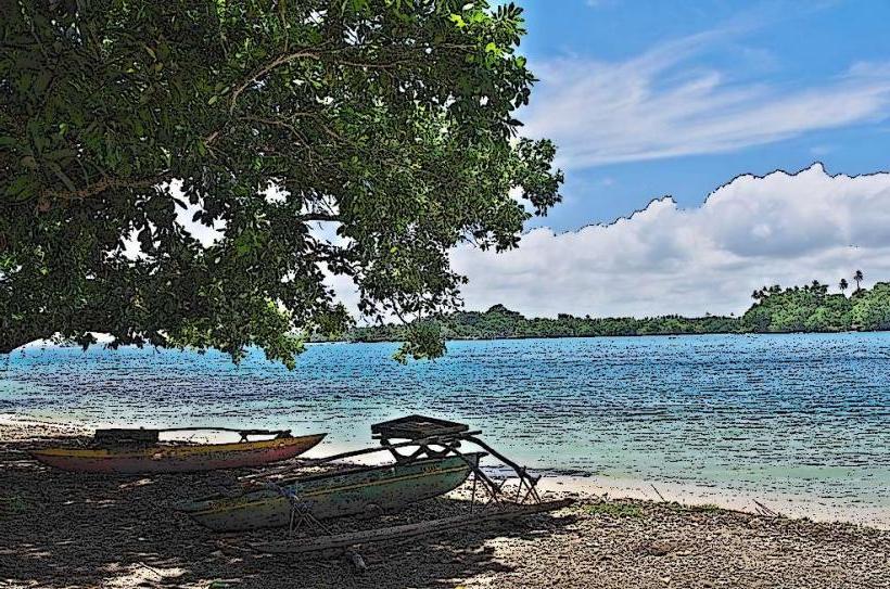
Activities include fishing for local species such as barramundi and catfish. Boat travel along the river is possible for exploration and accessing remote communities. Birdwatching is a significant activity due to the diverse avian population in the surrounding rainforest. Limited trekking opportunities exist in the higher altitude areas near the river's source.
Infrastructure & Amenities
Basic amenities are scarce along the river itself. Small villages may offer limited provisions. Cell phone signal is unreliable and generally absent in remote areas. Restrooms and shade structures are not standard features. Food vendors are typically found in larger settlements like Usino Bundi, not directly on the riverbanks.
Best Time to Visit
The dry season, from May to October, offers more stable river conditions and easier road access. The wet season (November to April) can lead to increased river flow and potential flooding, making travel more challenging. For photography, early morning and late afternoon provide softer light, though visibility can be reduced by mist or rain.
Facts & Legends
Local folklore often associates the Ramu River with spirits and ancestral beings. One recurring legend speaks of a giant serpent that resides in the deepest parts of the river, influencing its currents and the abundance of fish. A practical tip for visitors is to carry sufficient supplies, as services are minimal outside of established villages.
Nearby Landmarks
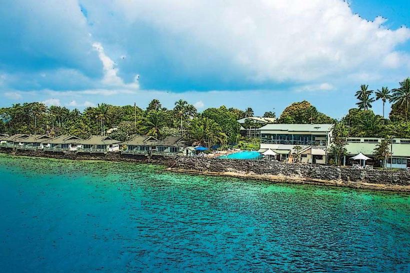
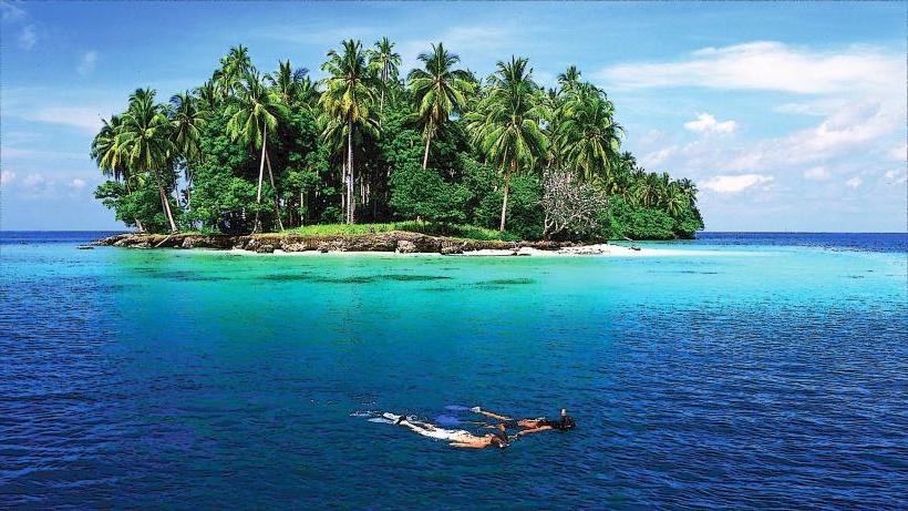
- Madang Lagoon (80km East)
- Karkar island (120km Northeast)
- Finisterre Range (50km South)
- Ramu Sugar Plantation (60km West)