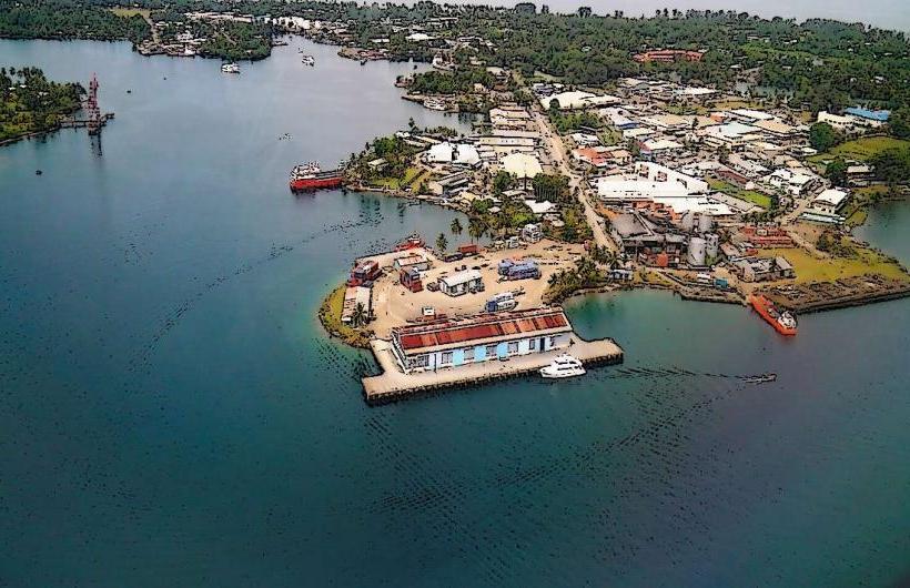
Landmark: Madang Harbour
City: Madang
Country: Papua New Guinea
Continent: Australia
Madang Harbour, Madang, Papua New Guinea, Australia
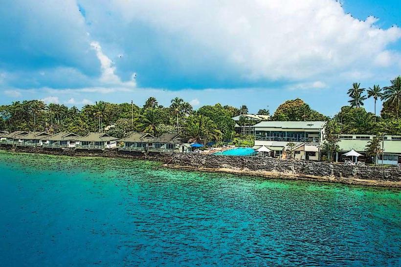
Madang Harbour is a natural deep-water inlet located on the northern coast of Papua New Guinea's mainland, within the city limits of Madang.
It serves as a primary port and a significant marine ecosystem.
Visual Characteristics
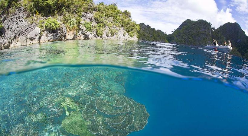
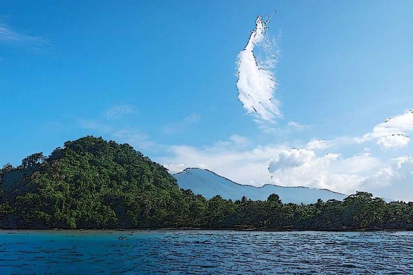
The harbour is characterized by its clear, turquoise waters, particularly in the inner sections. The coastline is fringed with dense tropical vegetation, including coconut palms and various rainforest species. Coral reefs are present in shallower areas, contributing to the underwater visual appeal. The harbour's depth varies, with deeper channels suitable for shipping.
Location & Access Logistics
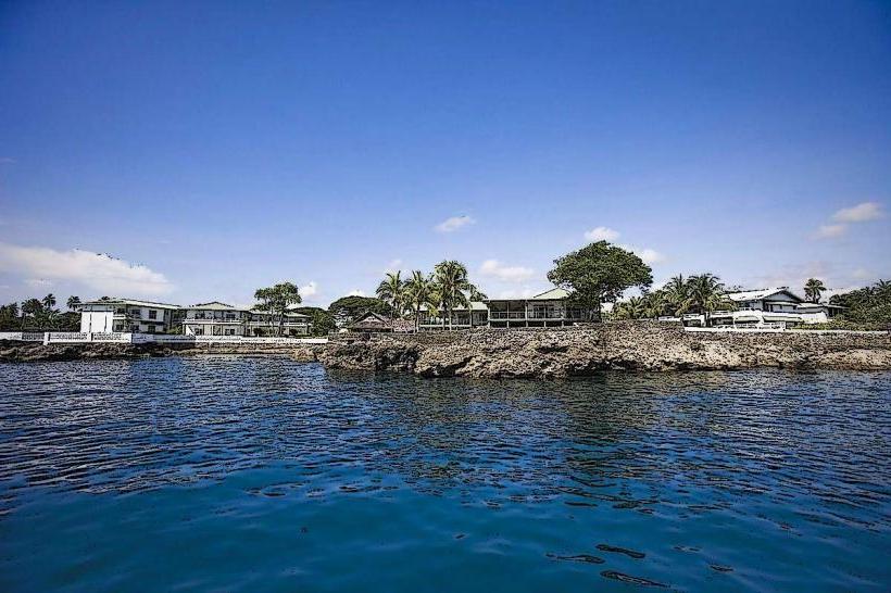
Madang Harbour is situated directly adjacent to the city of Madang. Access to the harbourfront is via local roads within Madang, such as Coronation Drive and Coastwatchers Avenue. Parking is available at designated points along the waterfront, though it can be limited during peak hours. Public transport within Madang includes local buses that service routes near the harbour. Boat transfers to islands within the harbour are available from the main wharf.
Historical & Ecological Origin
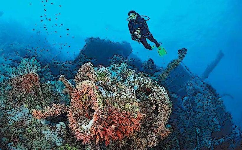
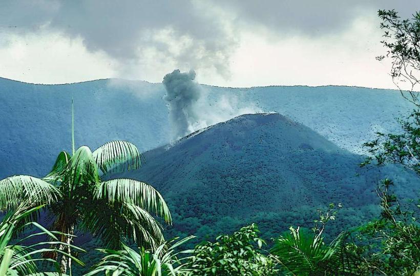
Madang Harbour is a caldera, formed by the collapse of a volcano millions of years ago. The surrounding landmass is volcanic in origin. Historically, it has been a significant site for indigenous communities for centuries. During World War II, it was a strategic location for Japanese and Allied forces, leading to shipwrecks that now form artificial reefs.
Key Highlights & Activities
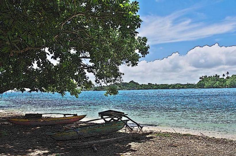
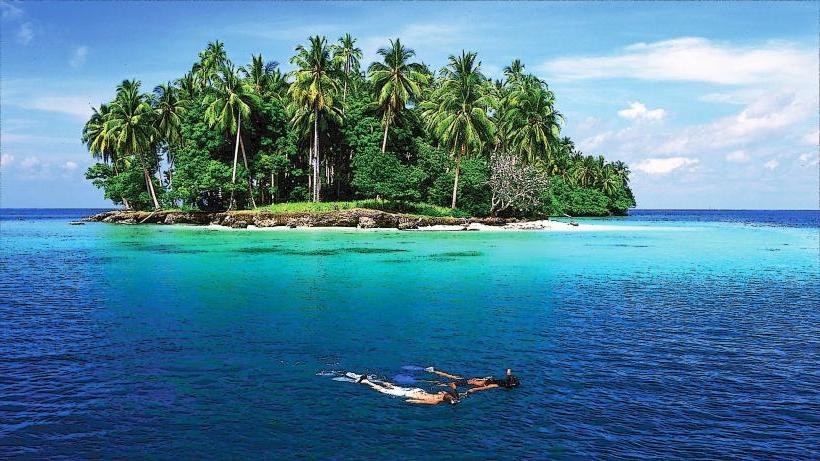
Snorkeling and diving are possible in designated reef areas, particularly around the outer edges of the harbour and near offshore islands. Boat tours offer exploration of the harbour's islands and marine life. Fishing is a common activity for local residents and visitors. Kayaking is suitable in calmer inner sections.
Infrastructure & Amenities
Basic restroom facilities are available at the main wharf area. Shade is provided by natural vegetation and some covered seating areas along the promenade. Cell phone signal (4G) is generally available within the city limits and along the harbourfront. Limited food vendors operate near the main market and wharf, offering local snacks and seafood.
Best Time to Visit
The best time for clear water visibility for diving and snorkeling is during the dry season, from May to October. Mornings typically offer calmer waters and better light for underwater photography. High tide is generally preferred for accessing shallower reef areas.
Facts & Legends
Madang Harbour is known for its numerous WWII shipwrecks, which have become popular dive sites. One notable wreck is the Japanese freighter "Sankisan Maru." Local folklore speaks of spirits guarding the coral reefs, a belief that has contributed to conservation efforts in some areas.
Nearby Landmarks
- Bismark Sea (0.1km North)
- Madang Resort (0.3km West)
- Coastwatchers Memorial Lighthouse (1.2km Southwest)
- Dylup Plantation (8km Southeast)
- Kranket Island (3km Northeast)