Landmark: Keyhole Reservoir
City: Sundance
Country: USA Wyoming
Continent: North America
Keyhole Reservoir, Sundance, USA Wyoming, North America
Keyhole Reservoir is a man-made lake located in northeastern Wyoming, near the town of Sundance.
It is a significant water storage facility for agricultural and municipal use in the region.
Visual Characteristics
The reservoir's water color varies from deep blue to greenish-blue depending on sediment load and depth. The shoreline is predominantly composed of exposed sedimentary rock formations, with areas of gravel and sparse, low-lying vegetation. The terrain surrounding the reservoir is characterized by rolling hills and open prairie.
Location & Access Logistics
Keyhole Reservoir is situated approximately 15 miles east of Sundance, Wyoming. Access is primarily via Interstate 90, exiting onto Wyoming Highway 116 South. The reservoir is accessible from multiple points along Highway 116, with designated access roads leading to boat ramps and day-use areas. Parking is available at these designated areas, with capacity varying. No public transport services operate directly to the reservoir.
Historical & Ecological Origin
Keyhole Reservoir was created by the construction of the Keyhole Dam, a concrete gravity dam completed in 1952. The dam was built by the U.S. Bureau of Reclamation as part of the Missouri River Basin Project. Its primary purpose is water storage for irrigation and municipal water supply for surrounding communities.
Key Highlights & Activities
Activities include boating, fishing for species such as walleye, northern pike, and crappie, and camping at designated sites. Hiking trails are present around some sections of the shoreline. Birdwatching is also a common activity due to the presence of waterfowl and other prairie birds.
Infrastructure & Amenities
Designated camping areas offer basic facilities including vault toilets and picnic tables. Boat ramps are available at several access points. Shade is limited, primarily found in picnic areas. Cell phone signal is intermittent and generally weak within the reservoir area.
Best Time to Visit
The best months for visiting are typically May through September, offering warmer weather suitable for water activities. Mid-morning to late afternoon provides optimal lighting for photography. Fishing is often productive during early morning and late evening hours.
Facts & Legends
The reservoir's name originates from a natural rock formation in the vicinity that resembles a keyhole. A specific tip for visitors is to check the U.S. Bureau of Reclamation website for current water levels and any potential access restrictions due to dam operations or weather conditions.
Nearby Landmarks
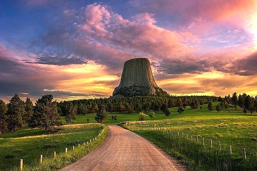
- Devils Tower National Monument (35km West)
- Bear Lodge Mountains (20km Southwest)
- Sundance Historic District (15km West)
- Aladdin Ghost Town (25km North)