Landmark: Sundance Walking Trail
City: Sundance
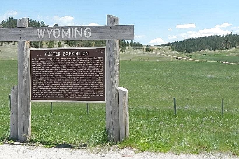
Country: USA Wyoming
Continent: North America
Sundance Walking Trail, Sundance, USA Wyoming, North America
The Sundance Walking Trail is a designated recreational path located within the city limits of Sundance, Wyoming, USA.
This trail provides access to the natural landscape surrounding the town.
Visual Characteristics
The trail is primarily unpaved, consisting of compacted earth and gravel. It traverses through mixed prairie grassland with scattered ponderosa pine and juniper trees. Elevation changes are moderate, with some inclines and declines. The path width averages 1.5 meters.
Location & Access Logistics
The primary trailhead is situated at the eastern edge of Sundance, accessible via a turn-off from US Highway 14. The entrance is approximately 1.5 km east of the city center. Parking is available at a designated gravel lot adjacent to the trailhead, with capacity for approximately 20 vehicles. No public transport services directly reach the trailhead.
Historical & Ecological Origin
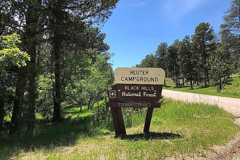
The Sundance Walking Trail follows a route historically used by local ranchers for livestock movement. Ecologically, the area represents a transition zone between the Great Plains grasslands and the foothills of the Black Hills, supporting a variety of native flora and fauna.
Key Highlights & Activities
Hiking is the primary activity. The trail is suitable for walking and trail running. Birdwatching opportunities exist due to the diverse vegetation. Observation points are marked at specific overlooks offering views of the surrounding terrain.
Infrastructure & Amenities
A single information kiosk is present at the main trailhead, providing a trail map. No restrooms, shade structures, or food vendors are located directly on the trail. Cell phone signal (4G/5G) is intermittent along the path, with better reception closer to the trailhead.
Best Time to Visit
For optimal lighting for photography, early morning (07:00-09:00) and late afternoon (16:00-18:00) are recommended. The months of May through October offer the most favorable weather conditions, with temperatures generally ranging from 10°C to 25°C. Avoid midday during summer months due to heat exposure.
Facts & Legends
Local folklore suggests that the trail's path was influenced by the migratory routes of pronghorn antelope that historically frequented the area. A specific rock formation approximately 1 km into the trail is locally referred to as "The Sentinel."
Nearby Landmarks
- Crook County Museum and Carriage House (1.2km West)
- Sundance City Park (1.8km West)
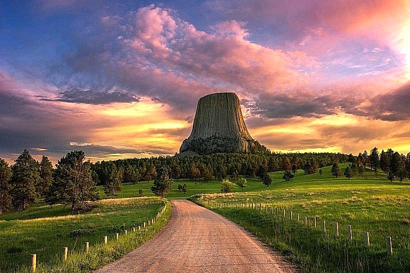
- Devils Tower National Monument (45km Southwest)
- Bear Lodge Mountains (15km Southeast)