Landmark: Kwajalein Oceanfront Walks
City: Kwajalein
Country: Marshall Islands
Continent: Australia
Kwajalein Oceanfront Walks, Kwajalein, Marshall Islands, Australia
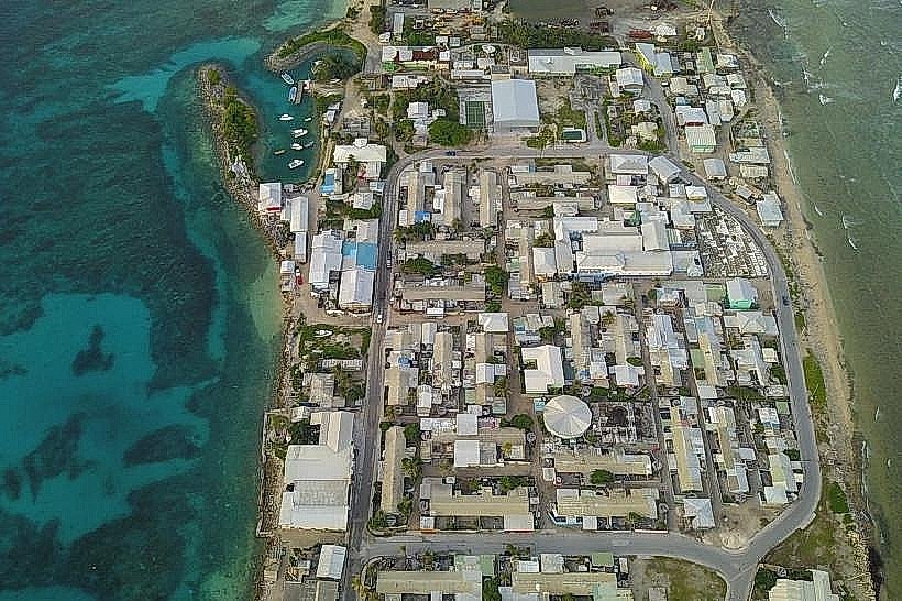
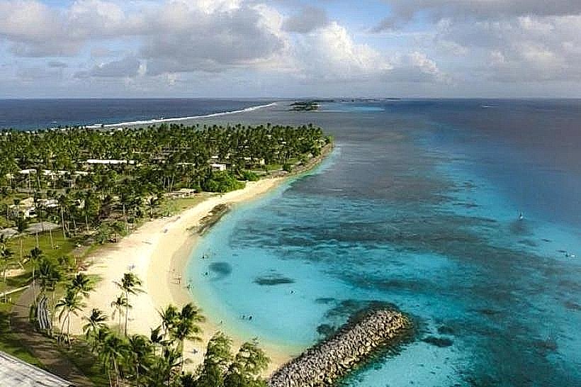
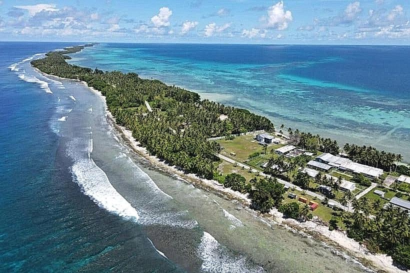
Kwajalein Oceanfront Walks are a series of paved pathways located on Kwajalein Atoll in the Marshall Islands. These walks provide access to the island's perimeter and coastal areas.
Visual Characteristics
The pathways are constructed of concrete, typically 2 meters wide. They run along the shoreline, offering views of the Pacific Ocean and the lagoon. Vegetation adjacent to the paths consists of low-lying shrubs, coconut palms, and sea grape trees. The ocean side exhibits wave action against coral reefs, while the lagoon side is generally calmer.
Location & Access Logistics
The walks are situated on Kwajalein Island, accessible via the Kwajalein Missile Range (KMR) facility. Access is restricted to authorized personnel and their guests. For authorized visitors, the walks can be reached by vehicle from the main residential and administrative areas. Parking is available at designated points along the main road that parallels the oceanfront. Public transport is not available; movement is primarily by private vehicle or bicycle.
Historical & Ecological Origin
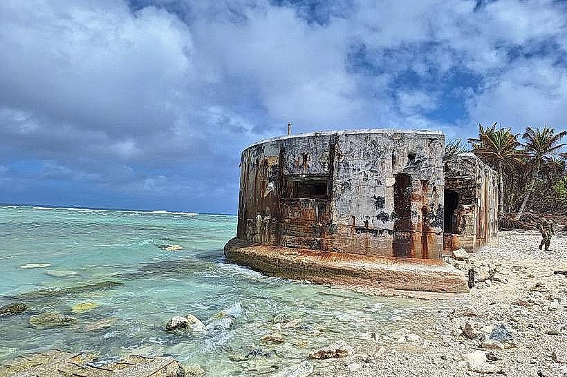
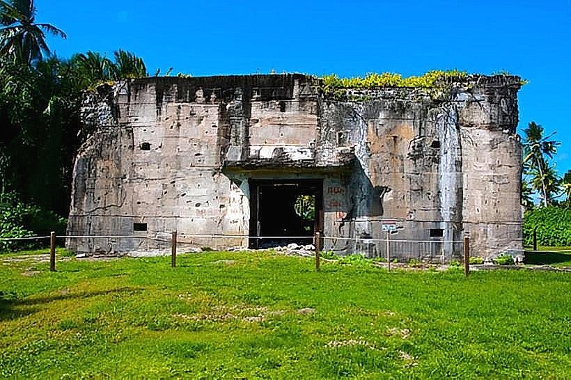
Kwajalein Atoll is a coral atoll formed over a submerged volcanic mountain. The atoll's current infrastructure, including the paved walkways, was largely developed by the United States military for missile defense testing and operations, beginning in the mid-20th century. The original purpose of the walkways was to facilitate movement and observation around the island's perimeter.
Key Highlights & Activities
Walking and jogging are the primary activities. Observation of marine life in the lagoon and ocean is possible. Photography of the coastal environment is permitted. Access to specific points for fishing may be available depending on KMR regulations.
Infrastructure & Amenities
Restrooms are located at intervals along the main roads adjacent to the walks. Shade is provided by natural vegetation in some areas. Cell phone signal (4G/5G) is generally available. Food vendors are not present along the walks; dining options are located within the KMR facility.
Best Time to Visit
For photography, early morning (06:00-08:00) and late afternoon (16:00-18:00) offer optimal lighting conditions. The weather is consistently warm year-round. Tidal variations have minimal impact on the usability of the paved walks.
Facts & Legends
During World War II, Kwajalein Atoll was the site of a significant battle. The atoll's strategic location has made it a focal point for military operations for decades. A specific tip for visitors is to be aware of the sun's intensity and to carry water, as direct sunlight can be prolonged.
Nearby Landmarks
- Kwajalein Missile Range Museum (0.8km West)
- Enewetak Atoll Memorial (1.2km Southwest)
- Kwajalein Yacht Club (1.5km South)
- Island Chapel (2.1km Northwest)