Landmark: Roi-Namur WWII Fortifications
City: Kwajalein
Country: Marshall Islands
Continent: Australia
Roi-Namur WWII Fortifications, Kwajalein, Marshall Islands, Australia
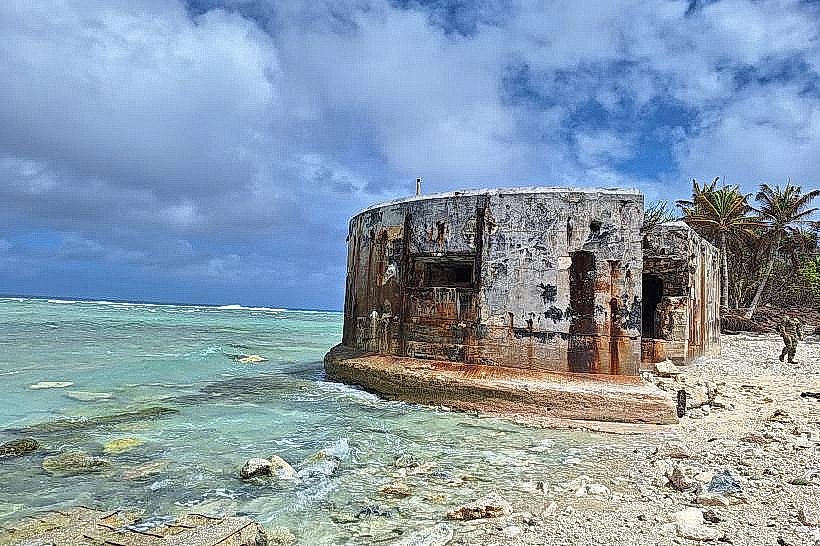
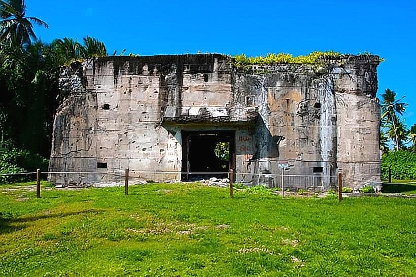
The Roi-Namur WWII Fortifications are a series of concrete structures located on Roi-Namur island in Kwajalein Atoll, Marshall Islands.
These fortifications represent remnants of Japanese military installations from the Second World War.
Visual Characteristics
The fortifications consist of reinforced concrete bunkers, gun emplacements, and associated structures. Materials are primarily concrete, showing signs of weathering and vegetation overgrowth. Structures vary in size, with some appearing as low-lying mounds and others as more substantial, partially collapsed buildings. Exposed rebar and concrete spalling are common.
Location & Access Logistics
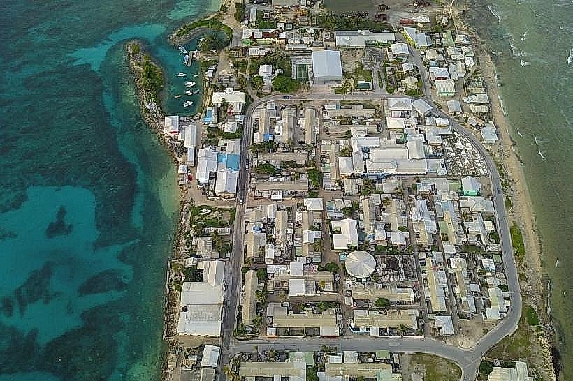
Roi-Namur is accessible via a causeway from the main island of Kwajalein. Access to Roi-Namur is restricted and requires authorization from the U.S. Army Garrison Kwajalein Atoll (USAG-KA). Transportation within the atoll is typically via government-provided vehicles or boats. There is no public transport to Roi-Namur. Parking is available at designated areas on Roi-Namur, but access is controlled.
Historical & Ecological Origin
Constructed by the Imperial Japanese Navy in the late 1930s and early 1940s, Roi-Namur served as a key defensive position during World War II. The island's geological origin is that of a coral atoll, formed over millennia by the accumulation of coral polyps on submerged volcanic seamounts.
Key Highlights & Activities
Exploration of the historical fortifications is the primary activity. Visitors can observe the remnants of gun emplacements, command posts, and barracks. Documentation of the structures through photography is common. Due to the unstable nature of some structures, caution is advised.
Infrastructure & Amenities
Limited infrastructure exists on Roi-Namur. Basic restroom facilities may be available in designated areas, but are not guaranteed. Shade is minimal, primarily provided by the structures themselves. Cell phone signal (4G/5G) is generally available but can be inconsistent. No food vendors are present on Roi-Namur; visitors must bring their own provisions.
Best Time to Visit
The best time for photography is during the morning or late afternoon when the sun angle provides more defined shadows on the concrete structures. The dry season, from January to April, offers the most favorable weather conditions with lower humidity and less rainfall. There are no tidal considerations for accessing the fortifications.
Facts & Legends
A notable historical fact is that Roi-Namur was the target of a significant U.S. naval bombardment and subsequent invasion during the Battle of Kwajalein in February 1944. Local lore sometimes speaks of unexploded ordnance, though official access routes are cleared.
Nearby Landmarks
- Kwajalein Missile Range (KMR) Facilities - 1.5km Southwest
- Enewetak Atoll - 200km West
- Majuro Atoll - 500km Southeast
- Bikini Atoll - 300km Northwest