Landmark: La Floresta
City: Canelones
Country: Uruguay
Continent: South America
La Floresta, Canelones, Uruguay, South America
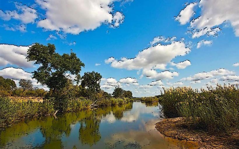
La Floresta is a coastal town located in the Canelones department of Uruguay. It is situated on the Río de la Plata estuary.
Visual Characteristics
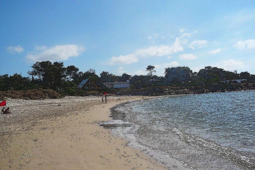
The coastline features a sandy beach with moderate wave action. The town itself is characterized by low-rise residential buildings, many constructed with brick and concrete, interspersed with mature trees providing significant canopy cover. The dominant color palette is muted, with natural wood tones and off-white or pale yellow building exteriors.
Location & Access Logistics
La Floresta is approximately 55 kilometers east of Montevideo. Access is primarily via Route Interbalnearia (IB). From Montevideo, take IB eastbound; La Floresta is accessible via the exit marked "La Floresta." Parking is available along the main streets and in designated lots near the beach access points. Public transport options include the COPSA bus lines that run regularly between Montevideo and Punta del Este, with frequent stops in La Floresta.
Historical & Ecological Origin
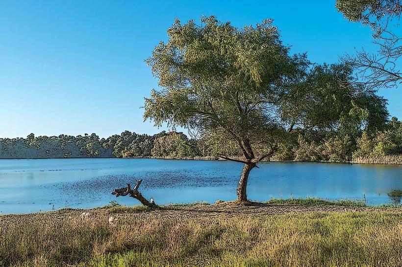
La Floresta originated as a planned residential development in the early 20th century, designed to attract vacationers from Montevideo. The area's ecological origin is that of a coastal plain formed by sediment deposition from the Río de la Plata.
Key Highlights & Activities
Activities include walking along the beach, swimming in the Río de la Plata, and exploring the town's residential streets. The local promenade offers views of the estuary. Fishing from the shore is also a common activity.
Infrastructure & Amenities
Restrooms are available at beach access points and in the town center. Shade is provided by natural tree cover and some public awnings. Cell phone signal (4G) is generally reliable within the town. Food vendors and small restaurants are located along the main commercial street, Avenida de la Costa.
Best Time to Visit
The best time for beach activities is during the summer months (December to February), with daytime temperatures averaging 25-30°C. For photography, early morning and late afternoon offer softer light. High tide is not a significant factor for beach access.
Facts & Legends
A notable historical oddity is the presence of several early 20th-century chalets, some of which retain their original architectural features, reflecting the area's past as a popular resort destination.
Nearby Landmarks
- Parque Artigas (1.5km West)
- Sociedad Criolla "Elías Regules" (3km North)
- Piriápolis (35km East)
- Laguna del Sauce (40km Southwest)