Landmark: Playa Santa Ana
City: Canelones
Country: Uruguay
Continent: South America
Playa Santa Ana, Canelones, Uruguay, South America
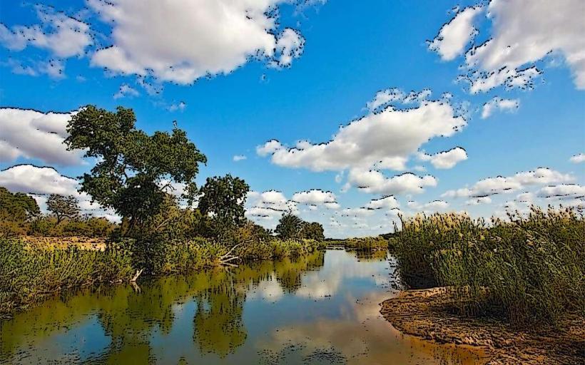
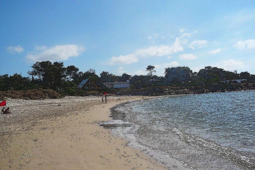
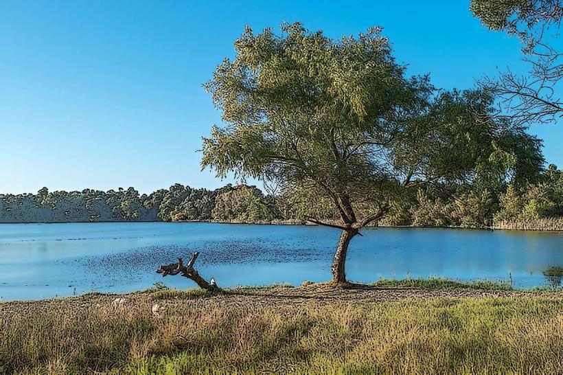
Playa Santa Ana is a coastal beach located in the department of Canelones, Uruguay.
This section of coastline features fine, light-colored sand and a moderate slope into the Rio de la Plata.
Visual Characteristics
The beach is characterized by its wide expanse of light tan sand. The water of the Rio de la Plata is typically a muted grey-brown, influenced by sediment. Vegetation along the immediate backshore consists of low-lying grasses and scattered shrubs. The shoreline is generally flat with minimal rocky outcroppings.
Location & Access Logistics
Playa Santa Ana is situated approximately 5 kilometers east of the city center of Canelones. Access is primarily via Route Interbalnearia, exiting onto Avenida de los Inmigrantes. From there, follow signs for Playa Santa Ana. Ample parking is available in designated lots adjacent to the beach access points. Public transport options include the COPSA bus lines that run along Route Interbalnearia; disembark at the Santa Ana stop and walk approximately 500 meters south.
Historical & Ecological Origin
The formation of Playa Santa Ana is a result of fluvial-sedimentary processes of the Rio de la Plata. The river's currents deposit sand and silt along its banks, creating and modifying the beach over geological time. Historically, this area has served as a recreational space for local communities since the early 20th century.
Key Highlights & Activities
Activities include sunbathing, swimming in the Rio de la Plata, and walking along the shoreline. Fishing from the shore is also a common practice. Designated areas are suitable for beach volleyball.
Infrastructure & Amenities
Restrooms are available at the main access points. Shade is limited, primarily provided by natural vegetation at the back of the beach. Cell phone signal (4G) is generally reliable. Food vendors are present during peak season, typically from December to February, offering snacks and beverages.
Best Time to Visit
The best months for visiting are December through February, offering the warmest temperatures for water activities. For photography, early morning or late afternoon provides softer lighting conditions. High tide does not significantly impact the usable beach area due to the river's nature.
Facts & Legends
A local anecdote suggests that during exceptionally calm days, one can see the distant coastline of Argentina across the Rio de la Plata, a phenomenon attributed to atmospheric conditions and the river's width at this point.
Nearby Landmarks
- Parque Artigas (2.5km West)
- Museo de Artes Plásticas de Canelones (3.0km West)
- Catedral de Nuestra Señora de Guadalupe (3.5km West)
- Estadio Mario de los Santos (4.0km West)