Landmark: Laccadive Sea
City: South Ari Atoll
Country: Maldives
Continent: Asia
Laccadive Sea, South Ari Atoll, Maldives, Asia
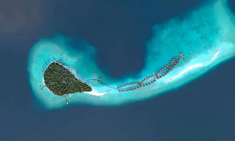
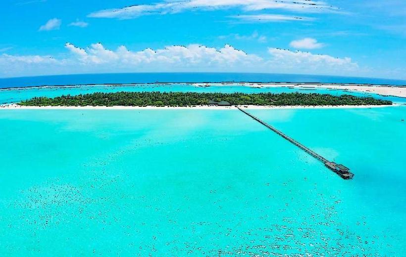
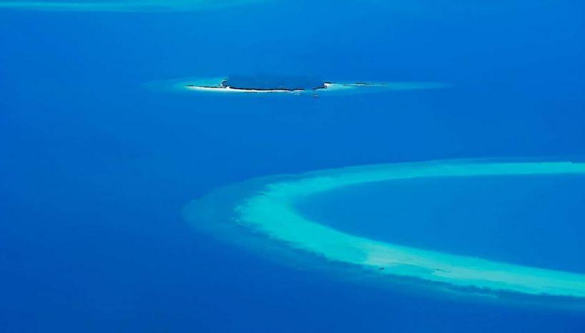
The Laccadive Sea is an oceanic body located to the southwest of the Indian subcontinent. It forms part of the larger Arabian Sea and is bordered by the Maldives archipelago.
Visual Characteristics
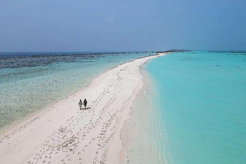
The Laccadive Sea is characterized by clear, turquoise waters with visibility often exceeding 30 meters. The seabed consists of coral reefs, sandy bottoms, and occasional rocky outcrops. The water temperature averages 28 degrees Celsius year-round. The surface is generally calm, with occasional moderate swells.
Location & Access Logistics
The Laccadive Sea is accessible via Velana International Airport (MLE) in Malé, Maldives. From Malé, domestic flights or speedboats are required to reach the South Ari Atoll. Specific island resorts within the atoll have their own transfer services, typically seaplanes or speedboats, from Malé. Travel time from Malé to South Ari Atoll by speedboat is approximately 1.5 to 2 hours, depending on the specific island. There is no direct road access; all access is by sea or air.
Historical & Ecological Origin
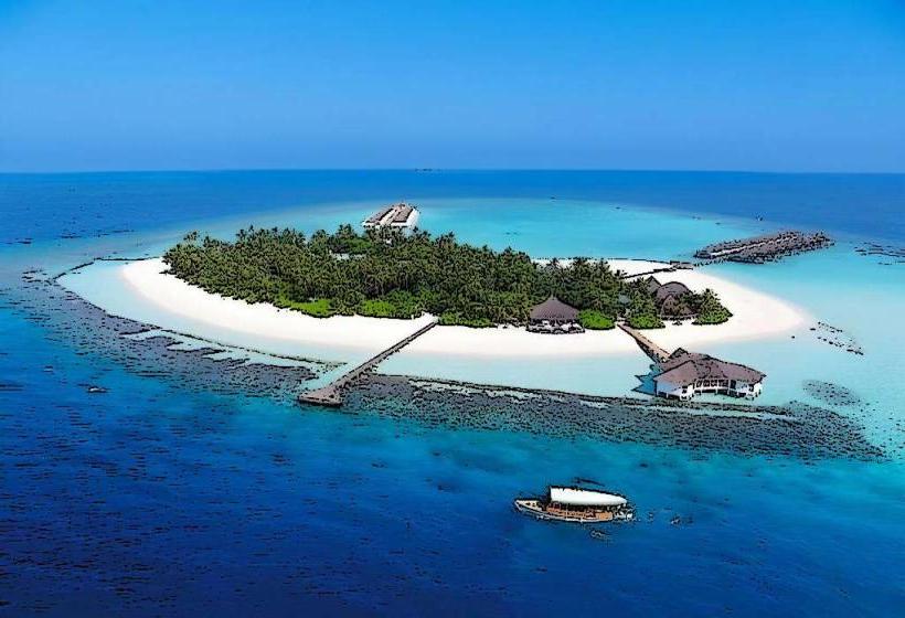
The Laccadive Sea is a marginal sea of the Indian Ocean. The Maldives archipelago, which defines its western boundary, is composed of 26 natural atolls, formed from the tops of submerged volcanoes. These atolls are primarily built from coral polyps, creating extensive reef systems. The geological formation process began millions of years ago.
Key Highlights & Activities
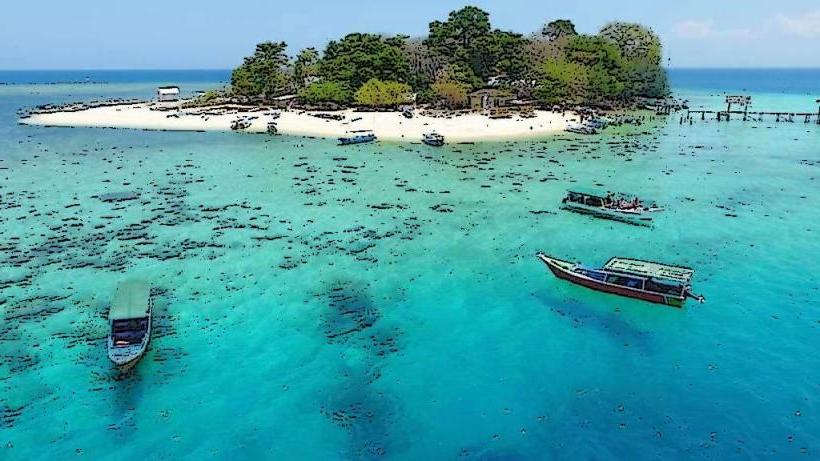
Activities include scuba diving and snorkeling on the coral reefs, observing marine life such as whale sharks and manta rays, and participating in boat excursions. Kayaking and paddleboarding are available in calmer lagoon areas. Fishing charters operate from various resort islands.
Infrastructure & Amenities
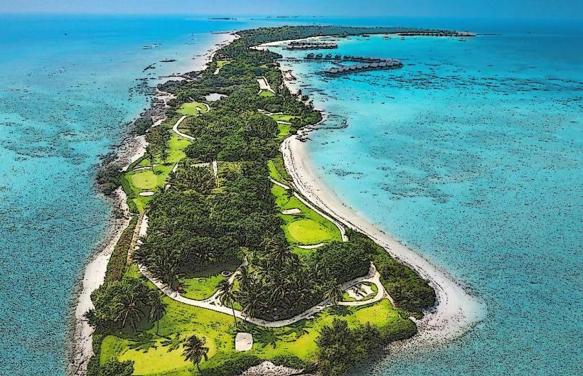
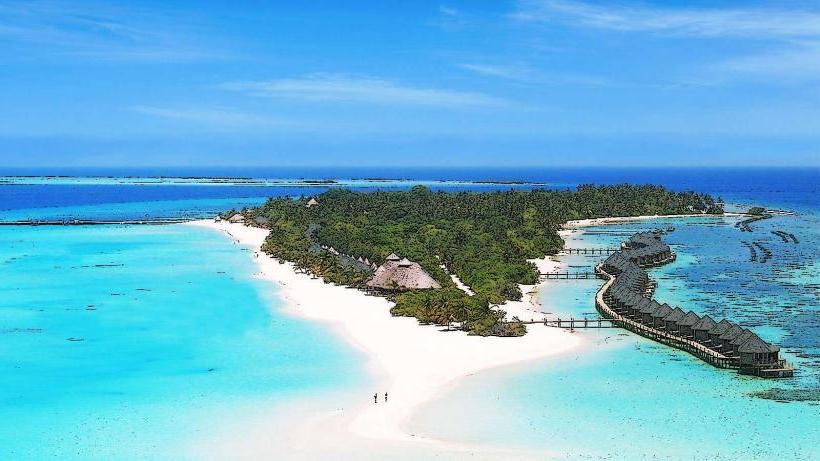
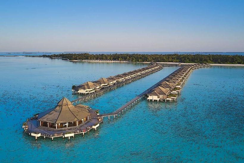
Infrastructure is primarily resort-based. Amenities vary by resort but typically include private beaches, restaurants, dive centers, and water sports equipment rental. Public restrooms are generally available at resort islands and public beaches. Cell phone signal (4G/5G) is usually available on inhabited islands and resort areas, though it can be weaker on smaller, uninhabited islets. Food vendors are concentrated within resort areas or local island villages.
Best Time to Visit
The best time for clear visibility and calm seas is from December to April, during the dry season. Whale shark and manta ray sightings are most frequent from May to December. High tide is generally preferred for exploring shallow reef areas and lagoons. Sunrise and sunset offer optimal lighting conditions for photography.
Facts & Legends
The Maldives, bordering the Laccadive Sea, is the lowest-lying country in the world, with an average ground-level elevation of 1.5 meters above sea level. A local legend speaks of the "Dhon Hiyala" or "Mermaid," a mythical creature said to inhabit the deeper waters, luring sailors with her song.
Nearby Landmarks
- Baa Atoll Biosphere Reserve (150km North)
- Malé City (90km Northeast)
- Addu Atoll (450km South)
- Huvahandhoo (0.5km West)
- Villingili (1km East)