Landmark: Lake Elementaita
City: Nakuru
Country: Kenya
Continent: Africa
Lake Elementaita, Nakuru, Kenya, Africa
Lake Elementaita is a shallow alkaline lake situated in the Great Rift Valley of Kenya, approximately 120 kilometers northwest of Nairobi.
Visual Characteristics
The lake's surface varies in color from pale blue to grey depending on atmospheric conditions and mineral content. Its shores are primarily composed of dry earth and salt deposits, with sparse acacia trees and scrub vegetation marking the perimeter. The surrounding landscape consists of rolling hills and plains characteristic of the Rift Valley.
Location & Access Logistics
Access to Lake Elementaita is primarily via the Nairobi-Nakuru Highway (A104). From Nakuru town, take the A104 south for approximately 30 kilometers. Turn off onto a dirt track signposted for Lake Elementaita. Parking is available at designated points along the lake shore, though it is informal. Public transport to Nakuru is frequent; from Nakuru, local matatus (minibuses) can be hired to reach the lake, though direct routes are uncommon. Boat access is not a standard visitor option.
Historical & Ecological Origin
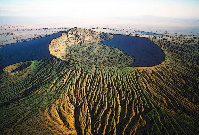
Lake Elementaita is a lacustrine deposit formed within the Great Rift Valley, a result of tectonic activity. It is part of the Lakes Elementaita, Nakuru, and Naivasha system, designated as a UNESCO World Heritage Site. The lake's alkalinity is a natural phenomenon influenced by the surrounding geology and evaporation rates.
Key Highlights & Activities
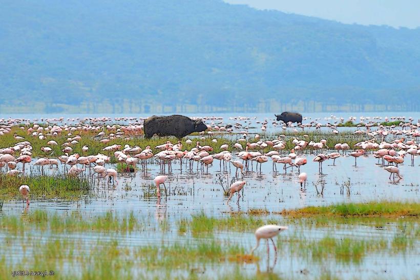
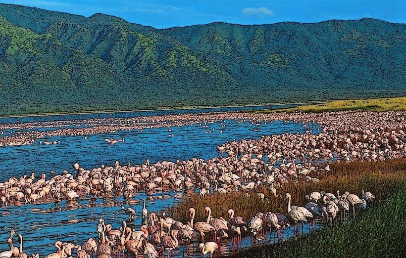
Birdwatching is a primary activity, with the lake supporting large populations of flamingos and other waterbirds. Observation of Rothschild's giraffes, which inhabit the adjacent conservancies, is also possible. Walking along the lake shore is permitted, but swimming is not advised due to water quality. Photography is best during early morning and late afternoon for optimal light.
Infrastructure & Amenities
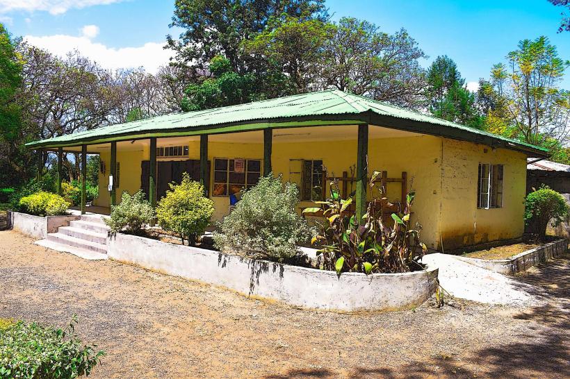
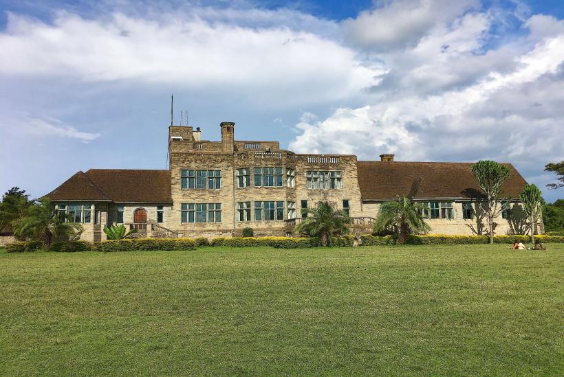
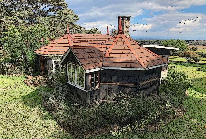
Basic amenities are limited. There are no public restrooms directly at the lake. Shade is minimal, provided only by scattered trees. Cell phone signal (4G/5G) is generally available but can be intermittent. Food vendors are not present at the lake itself; visitors should carry provisions. Several lodges and conservancies are located on the lake's periphery, offering more developed facilities.
Best Time to Visit
The best time for birdwatching is during the drier months, from June to October, when water levels are lower and bird concentrations are higher. For photography, the golden hours around sunrise and sunset offer the most favorable lighting conditions. There are no specific tide requirements as it is a lake.
Facts & Legends
Lake Elementaita is known for its periodic flamingo migrations, with numbers fluctuating significantly based on food availability and water conditions. A unique geological feature is the presence of hot springs along its western shore, though these are not typically accessible to the public.
Nearby Landmarks
- Lake Nakuru National Park (15km Northeast)
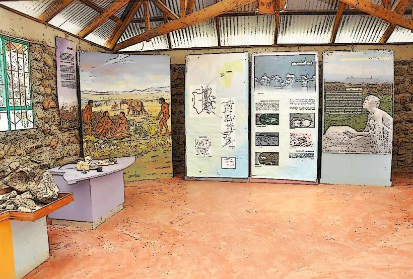
- Hyrax Hill National Museum (10km Northeast)
- Soysambu Conservancy (Adjacent West)
- Mau Narok (30km South)