Landmark: Lake Titicaca
City: Puno
Country: Peru
Continent: South America
Lake Titicaca, Puno, Peru, South America
Lake Titicaca is a large, high-altitude lake situated in the Andes mountains, straddling the border between Peru and Bolivia. This entry focuses on the Peruvian side, specifically the area accessible from Puno.
Visual Characteristics
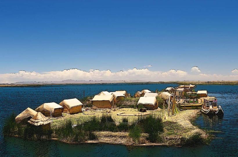
The lake's surface is a deep blue, varying in intensity with atmospheric conditions. Its vast expanse is punctuated by islands, some with steep, rocky shores and others with gentler, vegetated slopes. The surrounding landscape consists of arid, rolling hills.
Location & Access Logistics
Lake Titicaca is located approximately 8 kilometers east of Puno. Access is primarily via boat tours departing from the Puno port. Several tour operators offer excursions to various islands, including Uros, Taquile, and Amantani. Road access to the port is via Avenida El Sol, which connects to the main highway (Carretera Central). Parking is available at the Puno port, though it can be limited during peak tourist seasons. Bus lines 1 and 2 from Puno's city center terminate near the port.
Historical & Ecological Origin
Lake Titicaca is a tectonic lake, formed by a geological depression. It is the highest navigable lake in the world, with an average depth of 107 meters. The lake is an important ecosystem, supporting diverse aquatic life and serving as a critical water source for the region.
Key Highlights & Activities
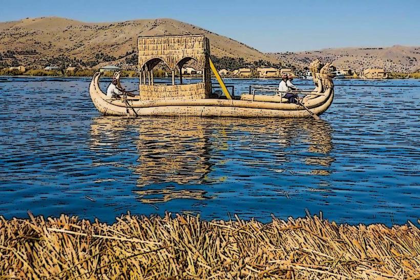
Boat tours to the floating Uros islands, constructed from totora reeds, are a primary activity. Visitors can observe the traditional lifestyle of the Uros people. Hiking is available on Taquile and Amantani islands, offering views of the lake and surrounding terrain. Fishing is a traditional activity for local communities. Photography is recommended during morning and late afternoon for optimal light.
Infrastructure & Amenities
Restrooms are available at the Puno port and on some of the larger islands like Taquile and Amantani. Shade is limited on the lake itself; hats and sunscreen are advised. Cell phone signal (4G/5G) is generally available in Puno and on the islands, though it can be intermittent. Food vendors are present at the Puno port and on Taquile Island, offering local cuisine.
Best Time to Visit
The dry season, from April to October, offers the most favorable weather conditions with clear skies and less rainfall. Mornings and late afternoons provide the best natural light for photography. High tide is not a relevant factor for visiting the lake itself.
Facts & Legends
According to local Aymara and Quechua mythology, Lake Titicaca is the birthplace of the sun. It is believed that the first Inca, Manco Capac, and his sister-wife Mama Ocllo emerged from its waters to found the Inca Empire. A specific tip for visitors is to carry small denominations of Peruvian Soles for purchasing handicrafts on the islands.
Nearby Landmarks
- Puno Cathedral (1.5km West)
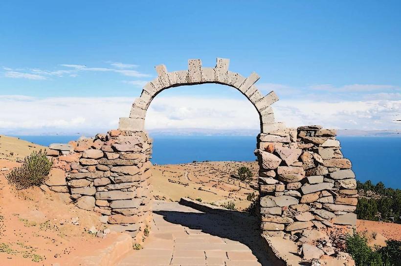
- Arco de Piedra (2km West)
- Mirador Kuntur Wasi (3km Southwest)
- Cerro Pukara (4km North)