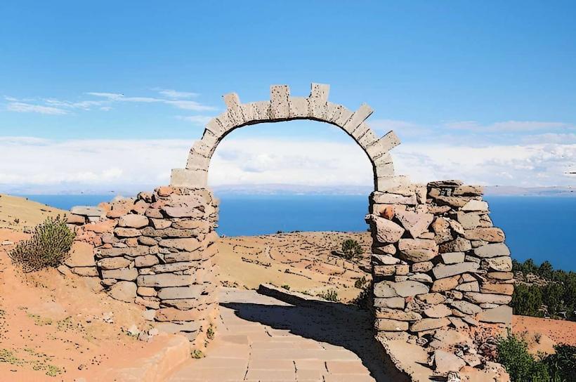
Landmark: Taquile Island
City: Puno
Country: Peru
Continent: South America
Taquile Island, Puno, Peru, South America
Taquile Island is a landmass situated in Lake Titicaca, approximately 45 kilometers east of Puno, Peru.
Visual Characteristics
The island is characterized by terraced agricultural fields constructed from stone. Vegetation consists primarily of native grasses and hardy shrubs adapted to the high-altitude environment. The lake surrounding the island exhibits a deep blue hue, with rocky shores and a generally arid landscape.
Location & Access Logistics
Access to Taquile Island is exclusively via boat from the port of Puno. Boat departures are typically scheduled for morning hours, with return trips in the afternoon. The journey duration is approximately 2.5 to 3 hours one way. There is no vehicle access to the island; visitors disembark at a small dock and proceed on foot. No dedicated parking facilities are available in Puno for island-bound travelers.
Historical & Ecological Origin
Taquile Island has been inhabited for centuries, with evidence suggesting pre-Inca settlements. The island's agricultural terraces are a testament to ancient land management techniques. Ecologically, it is part of the high-altitude puna grassland ecosystem of the Andes.
Key Highlights & Activities
Visitors can walk the island's pathways, observing the agricultural practices and local weaving traditions. The island is known for its textile production, particularly the chullos (hats) and polleras (skirts) made by the male and female residents, respectively. Hiking to the island's highest point offers panoramic views of Lake Titicaca. Lunch is often provided by local families, featuring traditional quinoa soup and fresh trout.
Infrastructure & Amenities
Restroom facilities are available at designated points on the island, often associated with community dining areas. Shade is limited, primarily found near community buildings. Cell phone signal is intermittent and generally unreliable. Food vendors are not present; meals are typically arranged through community cooperatives.
Best Time to Visit
The best time for clear visibility and comfortable temperatures is during the dry season, from May to October. Mornings generally offer the clearest light for photography. The island is accessible year-round, but boat schedules may be affected by weather conditions during the wet season (November to April).
Facts & Legends
Taquileños are renowned for their intricate knitting skills, a tradition passed down through generations. It is a cultural norm for men to knit, while women spin the yarn. A unique aspect of Taquile culture is its communal living and decision-making processes.
Nearby Landmarks
- Amantani Island (10km Northwest)
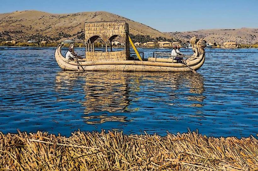
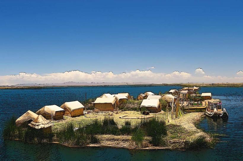
- Uros Floating Islands (30km Southwest)
- Isla del Sol (Bolivia) (Approx. 60km Southeast, across the border)