Landmark: Lalaja Falls
City: Arima
Country: Trinidad and Tobago
Continent: North America
Lalaja Falls, Arima, Trinidad and Tobago, North America
Lalaja Falls is a waterfall located within the Arima-valley_arima" class="underline">Arima Valley in Trinidad and Tobago.
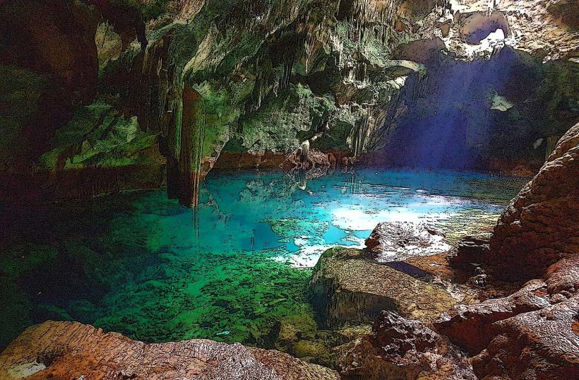
This natural site features a series of cascades descending over sedimentary rock formations.
Visual Characteristics
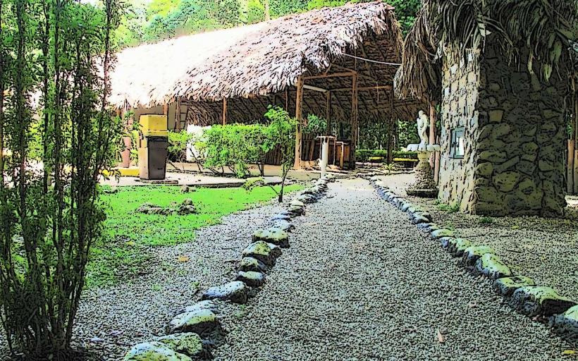
The waterfall drops approximately 15 meters in total over multiple tiers. The rock face is primarily composed of layered sandstone and shale. Water flow varies seasonally, with clearer, more voluminous flow during the wet season (June to December). Surrounding vegetation is dense tropical rainforest, characterized by broadleaf trees and epiphytes.
Location & Access Logistics
Lalaja Falls is situated approximately 8 kilometers southeast of Arima town center. Access is via Blanchisseuse Road (also known as Saddle Road) for the initial 5 kilometers, then turning onto a smaller, unpaved track for the remaining 3 kilometers. This track is suitable for 4x4 vehicles. Public transport does not directly service the falls; visitors typically arrange private transport or hire a taxi from Arima. Parking is available at the end of the unpaved track, with capacity for approximately 10-15 vehicles.
Historical & Ecological Origin
The geological formation of Lalaja Falls is a result of fluvial erosion acting upon the sedimentary rock layers of the Northern Range. The area is part of a tropical rainforest ecosystem, supporting a diverse range of flora and fauna indigenous to the island.
Key Highlights & Activities
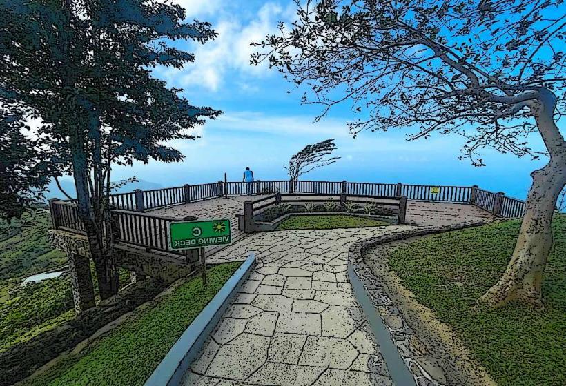
Swimming is possible in the plunge pool at the base of the main cascade during periods of moderate flow. Hiking trails lead to the upper tiers of the falls, offering different vantage points. Observation of local bird species is common. The area is suitable for photography, particularly during morning hours when sunlight penetrates the canopy.
Infrastructure & Amenities
There are no permanent facilities at Lalaja Falls. Visitors should bring their own water and food. Restroom facilities are not available. Cell phone signal is intermittent to non-existent within the immediate vicinity of the falls.
Best Time to Visit
The best months for visiting are between July and November, coinciding with the peak of the rainy season, which ensures higher water volume. For photography, early morning (7:00 AM - 9:00 AM) provides optimal lighting conditions through the forest canopy. Midday can be very humid.
Facts & Legends
Local folklore suggests that the waters of Lalaja Falls possess healing properties. A specific historical detail is that the unpaved track leading to the falls was historically used by local communities for access to forest resources.
Nearby Landmarks
- Maracas Bay (12km Northwest)
- El Tucuche (10km North)
- Aripo Caves (15km East)
- Valencia Nature Station (18km Southeast)