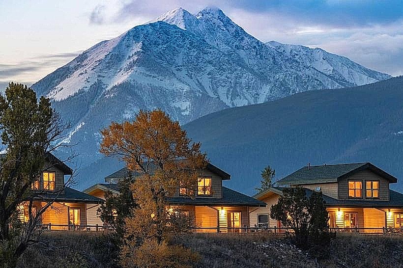
Landmark: Livingston Peak Trail
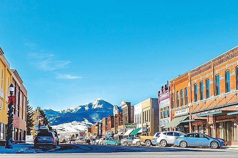
City: Livingston MT
Country: USA Montana
Continent: North America
Livingston Peak Trail, Livingston MT, USA Montana, North America
Livingston Peak Trail is a hiking route located in Livingston, Montana, USA.
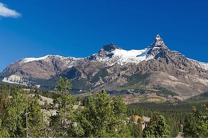
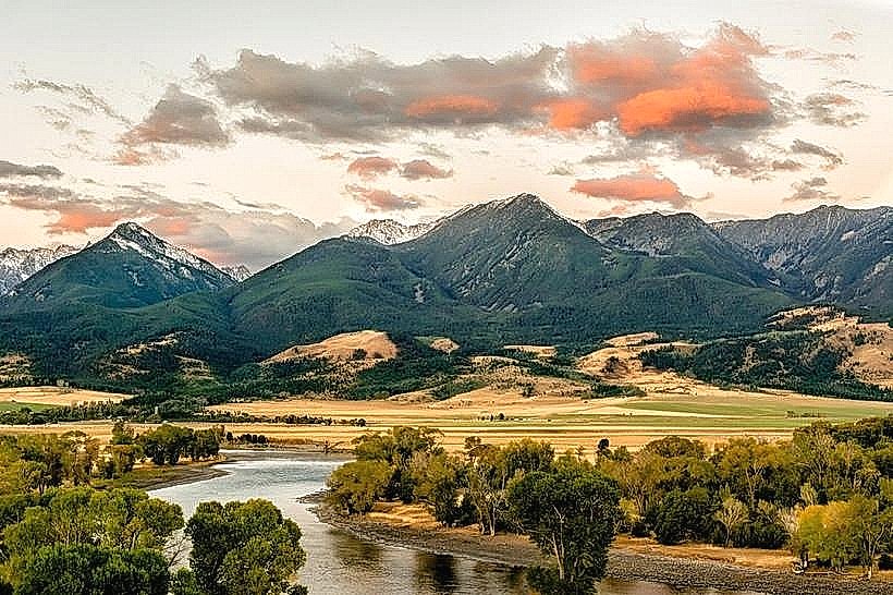
This trail provides access to the summit of Livingston Peak, offering panoramic views of the surrounding landscape.
Visual Characteristics
The trail is primarily composed of packed dirt and gravel, with sections of loose scree as elevation increases. Vegetation consists of Ponderosa pine, Douglas fir, and various native grasses and wildflowers. Rock outcroppings are present along the upper portions of the trail. The summit area is characterized by exposed rock and sparse alpine vegetation.
Location & Access Logistics
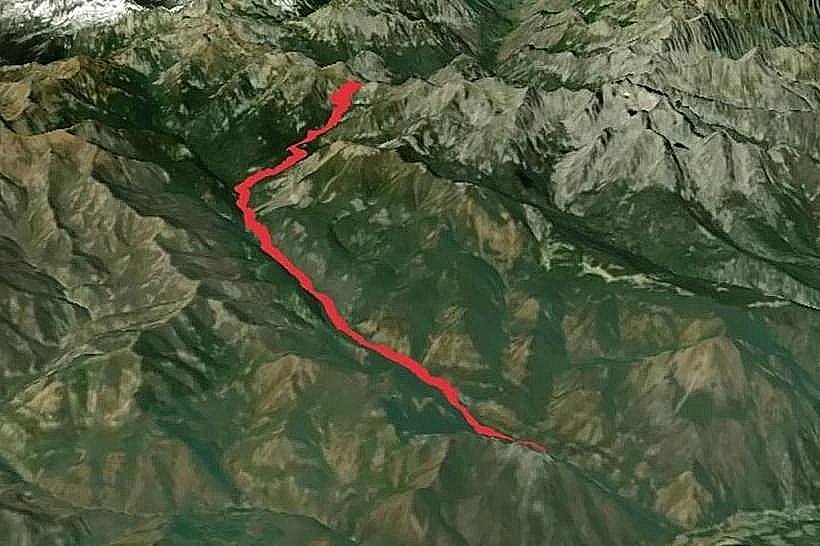
The trailhead is situated approximately 8 kilometers (5 miles) south of downtown Livingston, Montana. Access is via East River Road, turning onto Forest Service Road 420 (also known as Emigrant Road). The road is unpaved for the final 3 kilometers and may be rough. A high-clearance vehicle is recommended. Parking is available at a designated pull-off at the trailhead. No public transport services reach this location.
Historical & Ecological Origin
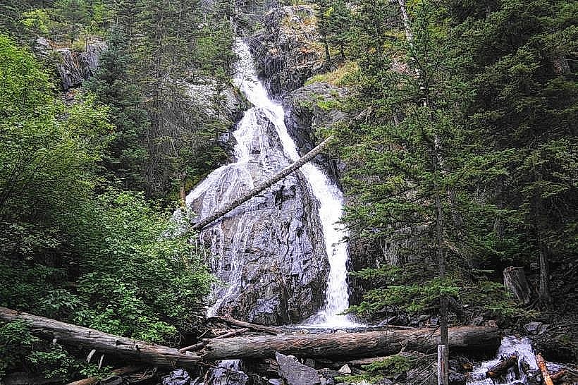
Livingston Peak is a prominent geological feature within the Absaroka-Beartooth Wilderness. Its formation is a result of tectonic uplift and subsequent erosion over millions of years. The trail itself was likely established by early settlers and hunters, with formal trail maintenance by the U.S. Forest Service occurring periodically.
Key Highlights & Activities
Hiking to the summit of Livingston Peak is the primary activity. The trail is rated as strenuous. Elevation gain is approximately 1,200 meters (4,000 feet). The summit offers 360-degree views of the Yellowstone River Valley, Paradise Valley, and the Absaroka Range. Wildlife viewing opportunities include deer, elk, and various bird species.
Infrastructure & Amenities
No facilities are present at the trailhead or along the trail. There are no restrooms, water sources, or designated shade areas. Cell phone signal is unreliable to non-existent for most of the trail, particularly at higher elevations. No food vendors are located near the trailhead.
Best Time to Visit
The optimal hiking season is from late June through September, after snowmelt has cleared the higher sections of the trail. Mid-morning offers good lighting for photography of the valley. Afternoon can bring increased wind and potential thunderstorms. The trail is not subject to tidal changes.
Facts & Legends
Local lore suggests that the peak was named after a surveyor who established its height. A specific historical oddity is the presence of remnants of an old fire lookout tower foundation near the summit, though the tower itself has long since been removed.
Nearby Landmarks
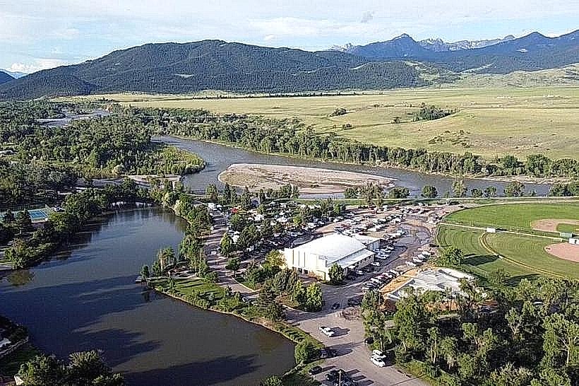
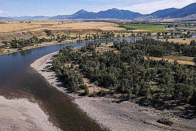
- Yellowstone River (1.5km Northwest)
- Emigrant Peak (7km Southwest)
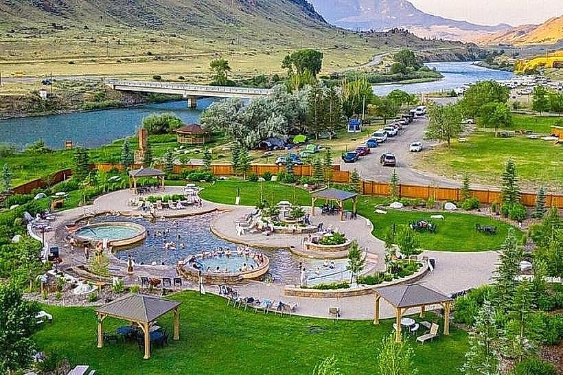
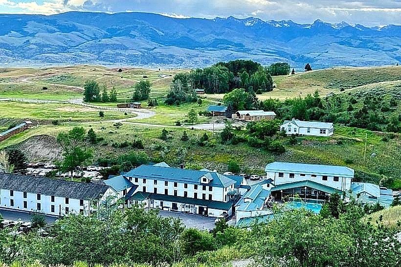
- Chico Hot Springs Resort (12km South)
- Bozeman Pass (20km Northeast)