Landmark: Yellowstone River
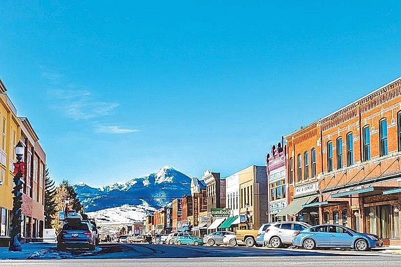
City: Livingston MT
Country: USA Montana
Continent: North America
Yellowstone River, Livingston MT, USA Montana, North America
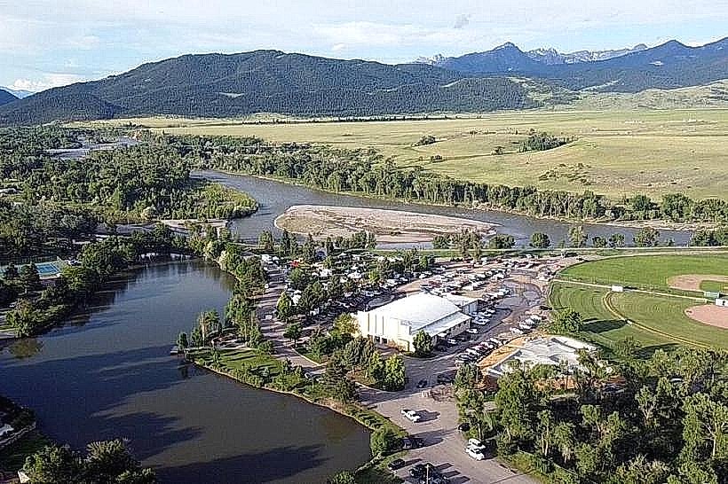
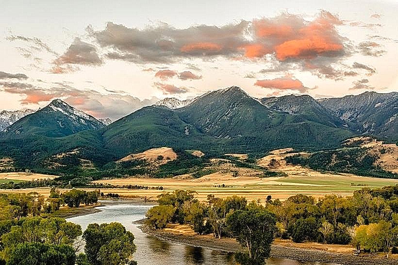
The Yellowstone River is a major tributary of the Missouri River, flowing through the state of Montana in the United States. It originates in Yellowstone National Park and traverses diverse landscapes before reaching its confluence.
Visual Characteristics
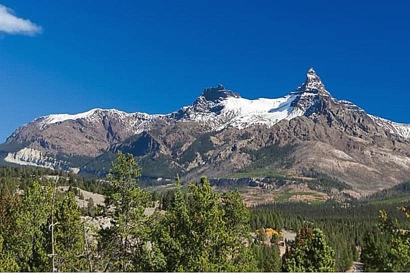
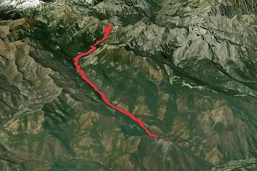
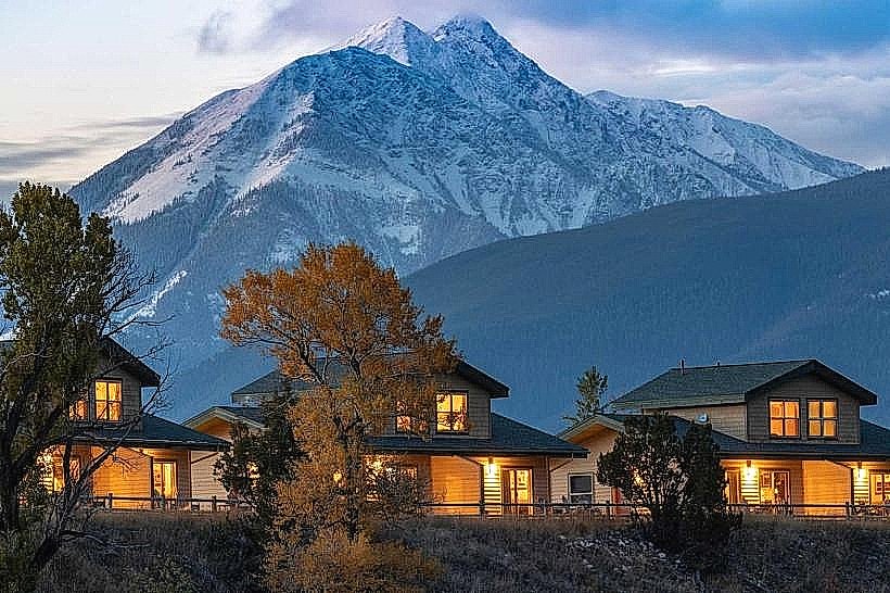
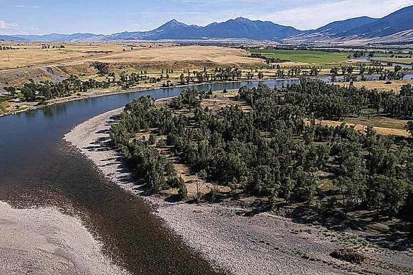
The river's width varies significantly, from approximately 50 meters in narrower canyon sections to over 200 meters in wider plains. Water color ranges from clear to a milky, sediment-laden brown depending on recent precipitation and upstream activity. The riverbed consists of gravel, sand, and exposed bedrock in certain areas. Riparian vegetation, including cottonwood trees and willows, lines much of its course, with open grasslands and mountainous terrain visible in surrounding areas.
Location & Access Logistics
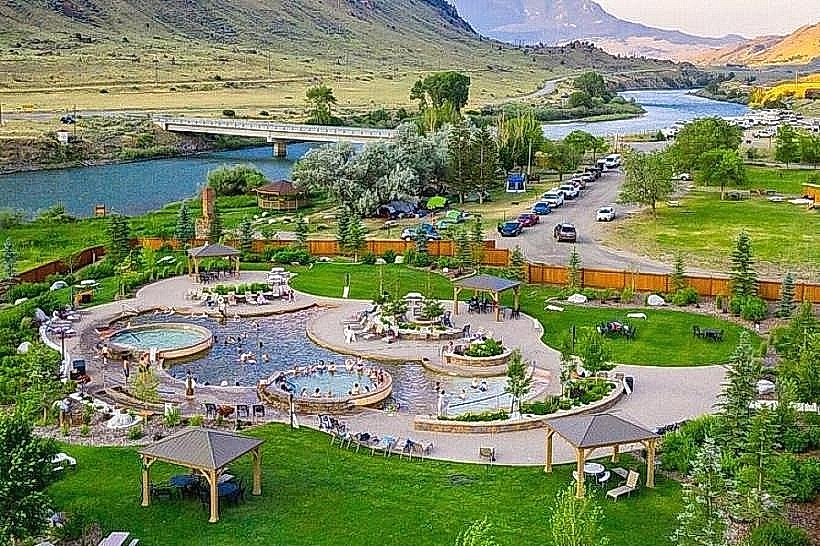
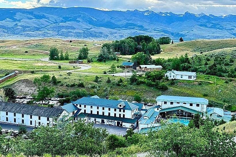
The Yellowstone River flows through Livingston, Montana. Access points are numerous along its course. In Livingston, the river is accessible via Sacagawea Park, located at the eastern edge of town. State Highway 89 runs parallel to the river south of Livingston, providing pull-offs. U.S. Route 89 North also offers access points. Parking is available at designated parks and pull-offs. Public transport options directly to river access points are limited; local taxi services or personal vehicles are the primary means of access.
Historical & Ecological Origin
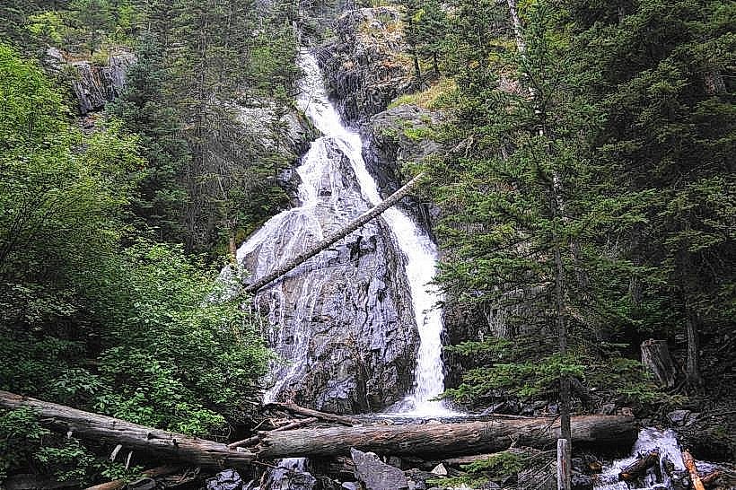
The Yellowstone River is a natural waterway formed by glacial melt and precipitation over millennia. Its geological origin is tied to the uplift of the Rocky Mountains and subsequent erosion. Historically, it served as a vital transportation route and resource for Native American tribes and early European explorers and settlers. Its ecological classification is a temperate river system supporting a variety of fish and wildlife.
Key Highlights & Activities
Fishing for trout (rainbow, brown, cutthroat) is a primary activity. Kayaking and rafting are possible during periods of sufficient flow, with specific sections rated for different skill levels. Wildlife viewing, particularly of birds and mammals along the riparian corridor, is common. Hiking trails are present in areas adjacent to the river, such as near the Livingston entrance to the river valley.
Infrastructure & Amenities
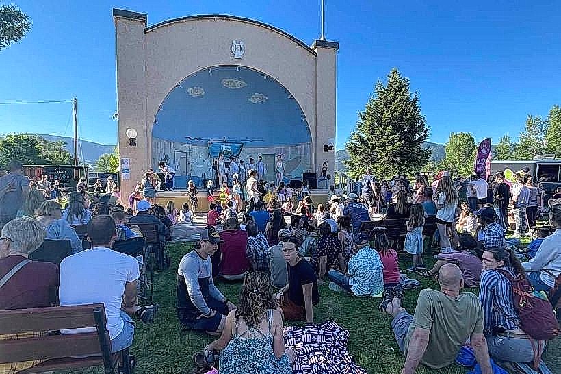
Restrooms are available at larger public access points like Sacagawea Park. Shade is provided by natural tree cover along the banks. Cell phone signal (4G/5G) is generally available in Livingston and along major roadways, but can be intermittent in more remote sections. Food vendors are located within Livingston and at some larger parks; smaller access points typically lack amenities.
Best Time to Visit
For fishing, the prime seasons are spring (April-May) and fall (September-October). For rafting and kayaking, water levels are typically highest from late May through July. Mid-morning to late afternoon offers the best natural light for photography of the river and surrounding landscape. High tide is not a relevant factor for this river system.
Facts & Legends
The Yellowstone River is the longest undammed river in the contiguous United States. A specific geological feature of note is the "Devil's Slide," a narrow canyon section where the river cuts through a steep limestone formation.
Nearby Landmarks
- Sacagawea Park (0.5km North-East)
- Livingston Depot Center (2km West)
- Emigrant Peak (15km South)
- Paradise Valley (20km South)
- Bozeman (45km West)