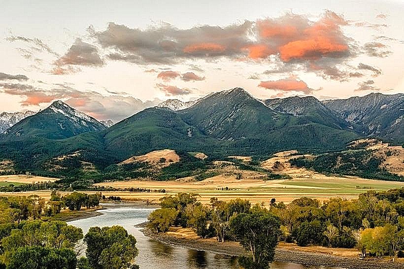
Landmark: Mill Creek Trail
City: Livingston MT
Country: USA Montana
Continent: North America
Mill Creek Trail, Livingston MT, USA Montana, North America
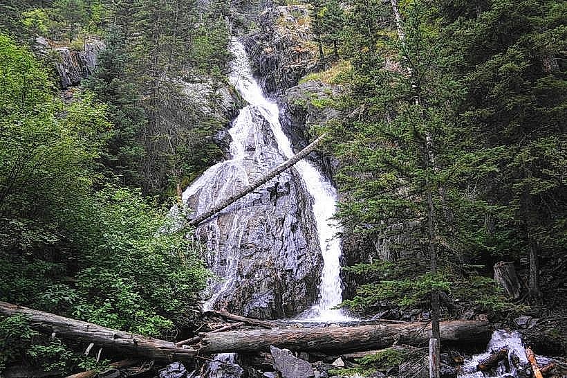
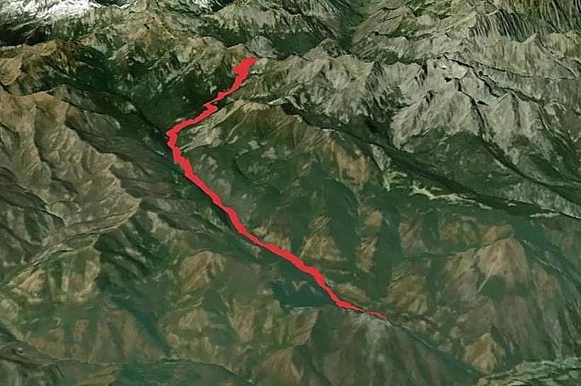
Mill Creek Trail is a hiking path located in the Absaroka-Beartooth Wilderness, accessible from Livingston, Montana, USA.
This trail traverses varied terrain, offering access to alpine environments and water features.
Visual Characteristics
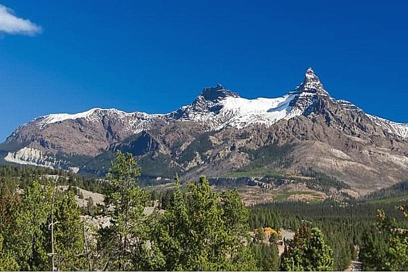
The trail surface consists primarily of packed earth and gravel, with sections of exposed rock. Elevation gain is significant, leading to subalpine meadows and coniferous forests dominated by lodgepole pine and Douglas fir. Several small streams and larger creek crossings are present along the route. Rock formations are predominantly sedimentary and igneous, characteristic of the Rocky Mountains.
Location & Access Logistics
Mill Creek Trailhead is situated approximately 25 miles southeast of Livingston, Montana. Access is via East River Road (MT-540) for 18 miles, then turning onto Forest Service Road 220 (Mill Creek Road) for an additional 7 miles. FSR 220 is a gravel road, typically passable by passenger vehicles during summer months, but may require high clearance or 4WD in wet conditions or early/late season. Parking is available at a designated trailhead lot with capacity for approximately 20 vehicles. No public transport services reach the trailhead.
Historical & Ecological Origin
Mill Creek Trail follows a historic game and exploration route within the Absaroka-Beartooth Wilderness, established for access to mining claims and later for recreational purposes. The area's geology is a result of tectonic uplift and volcanic activity, with glacial carving shaping the present-day landscape. The ecosystem is classified as montane and subalpine, supporting diverse flora and fauna.
Key Highlights & Activities
Hiking is the primary activity. The trail offers opportunities for wildlife observation, including elk, deer, and various bird species. Fishing is permitted in Mill Creek and its tributaries, subject to Montana fishing regulations. Backpacking is allowed in designated wilderness areas, with dispersed camping options available.
Infrastructure & Amenities
The Mill Creek Trailhead provides a small parking area and an information kiosk with trail maps. No restrooms, potable water, or food vendors are available at the trailhead. Cell phone signal is generally absent along the trail and at the trailhead.
Best Time to Visit
The optimal period for hiking Mill Creek Trail is from late June through September, after snowmelt has cleared the higher elevations. Mid-morning offers good lighting for photography of the surrounding peaks. High water levels can occur in early summer due to snowmelt, potentially making creek crossings more challenging.
Facts & Legends
A notable geological feature along the trail is the presence of glacial erratics, large boulders transported and deposited by ancient glaciers. Local lore speaks of prospectors who once sought gold in the Mill Creek drainage, though significant commercial success was never achieved.
Nearby Landmarks
- Emigrant Peak (8km Southwest)
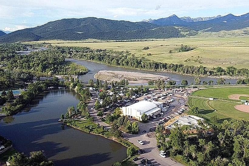
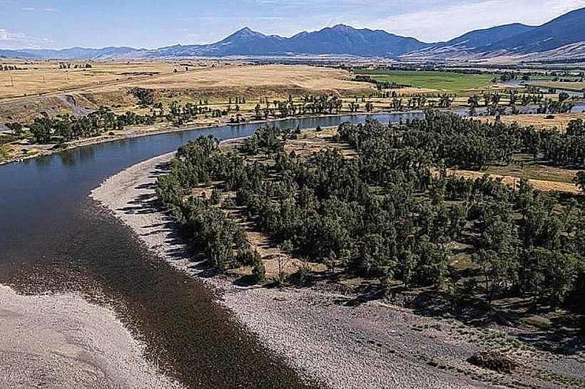
- Yellowstone River (20km Northwest)
- Paradise Valley (22km West)
- Bozeman, MT (85km Northwest)