Landmark: Pine Creek Falls Trail
City: Livingston MT
Country: USA Montana
Continent: North America
Pine Creek Falls Trail, Livingston MT, USA Montana, North America
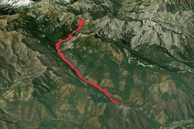
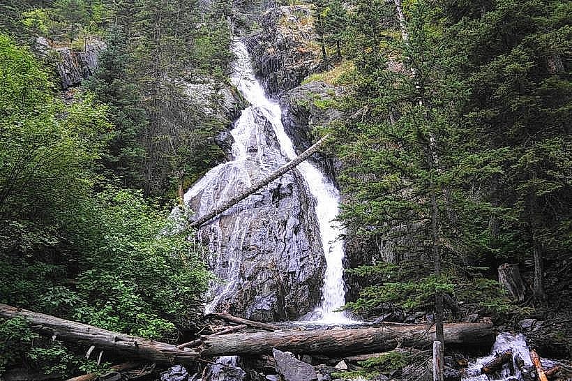
Pine Creek Falls Trail is a hiking route located near Livingston, Montana, USA. It leads to a series of waterfalls within the Absaroka-Beartooth Wilderness.
Visual Characteristics
The trail traverses a coniferous forest dominated by lodgepole pine and Douglas fir. The path itself is primarily composed of packed earth and gravel, with sections of exposed rock. Pine Creek, the water source, is characterized by clear, cold water flowing over a rocky streambed. The falls are multi-tiered, with water cascading over granite formations. Vegetation density varies, with open areas near the creek and denser forest cover along the ascent.
Location & Access Logistics
The trailhead is situated approximately 16 miles south of Livingston, Montana, accessed via East River Road (also known as Forest Service Road 536). The turnoff for the trailhead is clearly marked. Parking is available at a designated gravel lot adjacent to the trailhead. There are no public transport options directly serving the trailhead. The last 3 miles of East River Road are unpaved and can be rough, requiring a vehicle with adequate clearance.
Historical & Ecological Origin
Pine Creek Falls is a natural formation resulting from the erosive power of Pine Creek over glacial till and bedrock. The area is part of the Absaroka-Beartooth Wilderness, established to preserve its natural character and ecological processes. The geological history involves volcanic activity and glacial sculpting, contributing to the rugged terrain and the creek's drainage pattern.
Key Highlights & Activities
Hiking the Pine Creek Falls Trail is the primary activity. The trail is approximately 2.5 miles one-way to the main waterfall. Visitors can observe the series of cascades and the primary waterfall at the trail's terminus. Photography is possible at various points along the trail and at the falls. No swimming is advised due to cold water temperatures and strong currents.
Infrastructure & Amenities
The trailhead has a small gravel parking area. There are no restrooms, picnic tables, or designated camping areas at the trailhead or along the trail. Cell phone signal is unreliable to non-existent for most of the trail and at the trailhead. No food vendors are present at or near the trailhead.
Best Time to Visit
The best months for visiting are typically from late May through October, depending on snowpack. The trail is generally snow-free by late May or early June. Mid-morning to early afternoon offers the best natural light for photography at the falls, avoiding harsh shadows. High water flow is common in late spring and early summer due to snowmelt.
Facts & Legends
A local anecdote suggests that prospectors in the late 19th century searched for gold in Pine Creek, though no significant deposits were ever found. The area is known for its diverse wildlife, including elk, deer, and black bears. Visitors should carry bear spray and be aware of their surroundings.
Nearby Landmarks
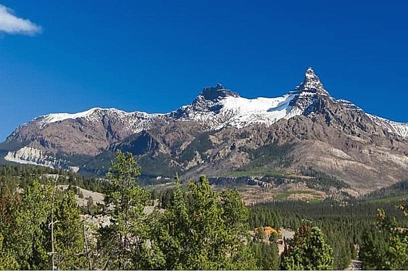
- Emigrant Peak (5km Northwest)
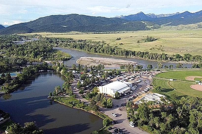
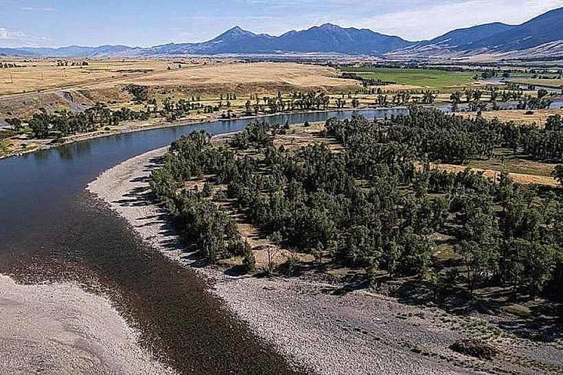
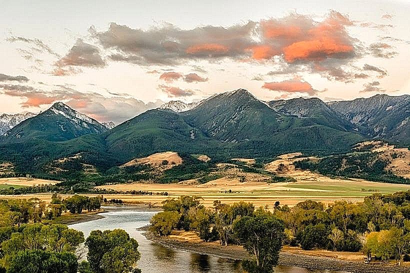
- Yellowstone River (7km North)
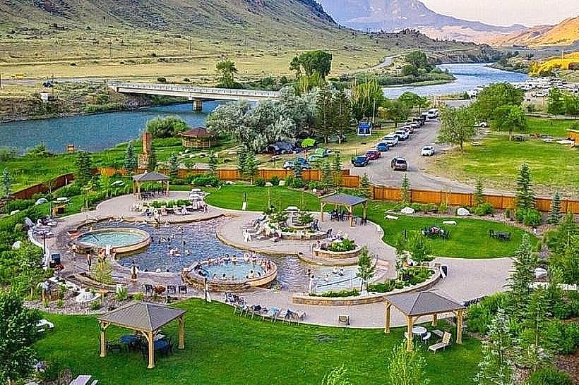
- Chico Hot Springs Resort (10km North)
- Paradise Valley (12km North)