Landmark: Logan Canyon
City: Logan
Country: USA Utah
Continent: North America
Logan Canyon, Logan, USA Utah, North America
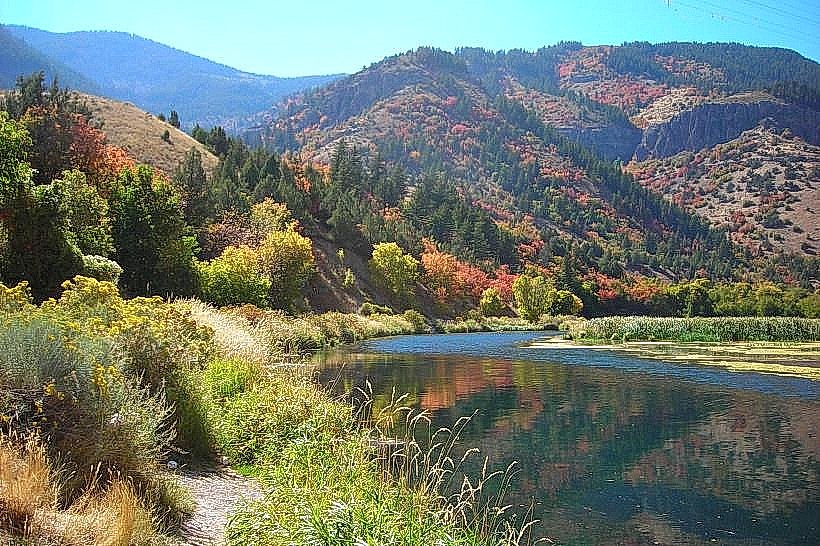
Logan Canyon is a river valley located in northern Utah, USA, extending east from the city of Logan.
Visual Characteristics
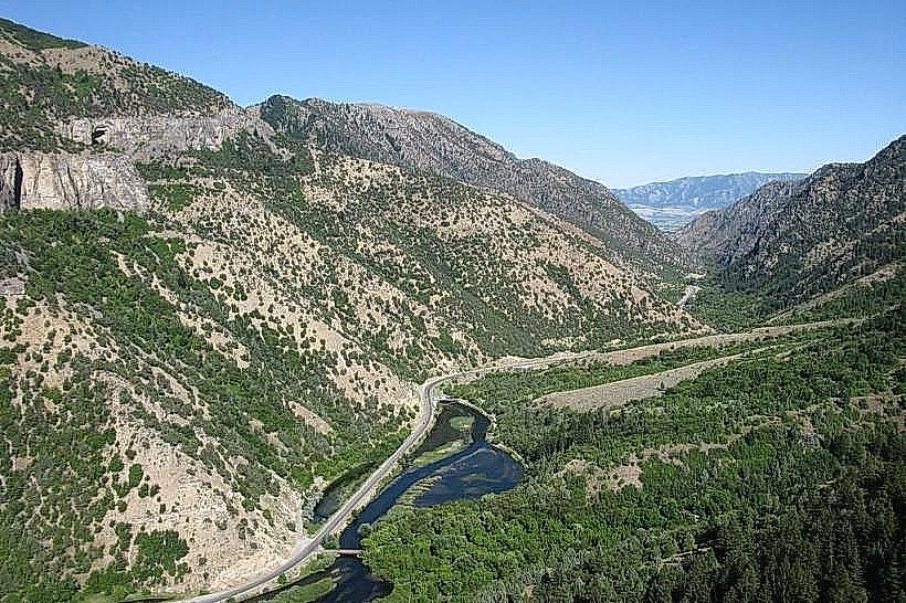
The canyon walls are composed primarily of limestone and quartzite, exhibiting varied strata. Vegetation density increases with elevation, transitioning from sagebrush and grasses at lower elevations to mixed conifer forests (Douglas fir, aspen) at higher altitudes. The Logan River, a perennial stream, flows through the canyon floor, its color varying from clear to silt-laden depending on recent precipitation and snowmelt.
Location & Access Logistics
The canyon begins at the eastern edge of Logan, Utah. State Route 89 (US-89) traverses the entire length of the canyon. The canyon entrance is approximately 1.6 km (1 mile) east of Logan's city center. Ample parking is available at designated pull-offs and trailheads along SR-89. Cache Valley Transit District (CVTD) bus route 1 operates seasonally into the canyon, with limited stops.
Historical & Ecological Origin
Logan Canyon is a U-shaped glacial valley, carved by past ice sheets. The Logan River continues to shape the valley floor through fluvial erosion. Historically, the canyon served as a route for Native American tribes and later for settlers. The construction of SR-89 facilitated access for logging and recreation.
Key Highlights & Activities
Hiking is permitted on designated trails, including the Wind Caves Trail (2.4 km roundtrip) and the Right Hand Fork Trail. Rock climbing is possible on specific formations. Fishing in the Logan River is permitted with a Utah fishing license. Scenic driving along SR-89 offers views of the canyon's geological features.
Infrastructure & Amenities
Restrooms are available at developed campgrounds and picnic areas within the canyon. Shade is provided by the forest canopy in higher elevations. Cell phone signal (4G/5G) is intermittent and generally unavailable in deeper sections of the canyon. No food vendors operate within the canyon; provisions should be acquired in Logan.
Best Time to Visit
For hiking and general access, late spring (May) through early fall (October) is optimal, avoiding winter snowpack. Mid-morning to late afternoon provides consistent sunlight for photography. The Logan River's clarity is best in late summer and early fall. High tide is not a relevant factor.
Facts & Legends
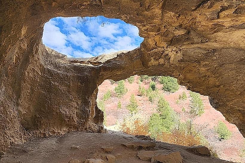
The Wind Caves, a prominent feature, are limestone solutional caves accessible via a steep trail. Local lore suggests the caves were used for shelter by early inhabitants. A specific geological feature known as the "Fossil Bone" is a large, distinct rock formation visible from SR-89, often mistaken for an actual fossil.
Nearby Landmarks
- Bear Lake State Park (25km Northeast)
- Tony Grove Lake (15km Northeast)
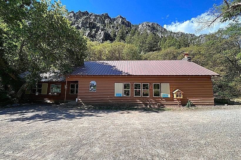
- Cache National Forest Ranger Station (5km East)
- Bridgerland Adventure Park (3km West)
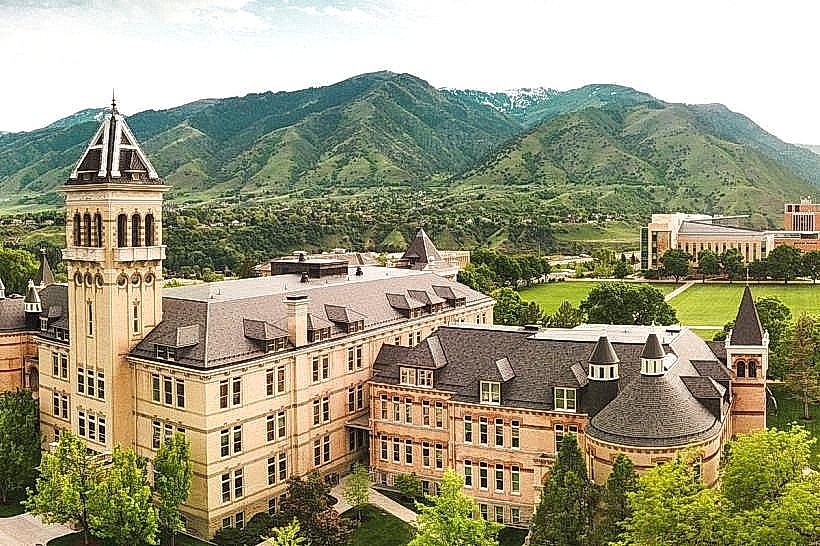
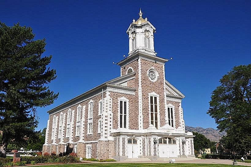
- Utah State University Campus (4km West)