Landmark: Logan River Trail
City: Logan
Country: USA Utah
Continent: North America
Logan River Trail, Logan, USA Utah, North America
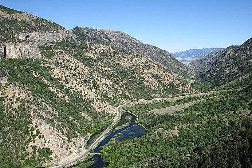
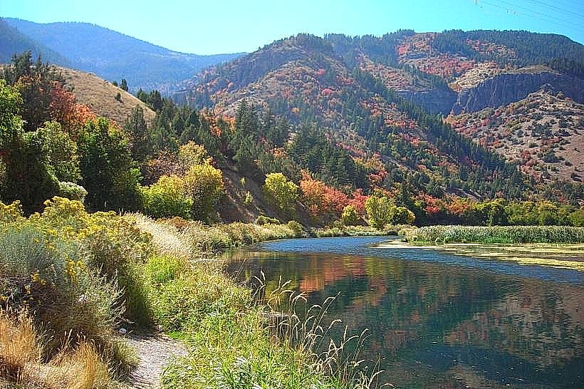
The Logan River Trail is a multi-use path located in Logan, Utah, USA. It follows the course of the Logan River through varied terrain.
Visual Characteristics
The trail surface consists of compacted gravel and paved sections. The path is generally 3 meters wide. Vegetation along the route includes cottonwood trees, willows, and various riparian plants. The Logan River itself is typically clear with a rocky bed, varying in width from 5 to 15 meters.
Location & Access Logistics
The primary access point is at the Bridgerland Park entrance, located at 1400 East 1000 North, Logan, UT. This is approximately 3 kilometers east of downtown Logan. Parking is available at Bridgerland Park, with capacity for approximately 50 vehicles. Public transport options include the Cache Valley Transit District (CVTD) bus route 3, which stops at the intersection of 1000 North and 1400 East, a 0.2km walk from the park entrance.
Historical & Ecological Origin
The Logan River is a natural waterway originating in the Bear River Range. The trail was developed by the City of Logan Parks and Recreation Department, with initial construction beginning in the late 1990s to provide recreational access to the river corridor. It is classified as a riparian ecosystem.
Key Highlights & Activities
Walking, jogging, and cycling are permitted on the trail. Birdwatching is common due to the riparian habitat. Fishing is allowed in designated sections of the Logan River, subject to Utah Division of Wildlife Resources regulations. The trail connects to other local trail systems, offering extended routes.
Infrastructure & Amenities
Restrooms are available at the Bridgerland Park trailhead. Benches are located at intervals along the paved sections. Shade is provided by mature trees. Cell phone signal (4G/5G) is generally consistent along most of the trail. No food vendors are present directly on the trail; amenities are available in nearby commercial areas.
Best Time to Visit
For photography, early morning (7:00 AM - 9:00 AM) and late afternoon (4:00 PM - 6:00 PM) offer favorable lighting conditions. The months of May through October provide the most pleasant weather for outdoor activities. No tide considerations apply.
Facts & Legends
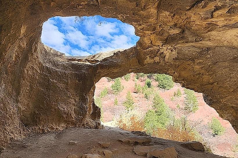
Local folklore suggests that the Logan River was once a favored fishing spot for early settlers due to an abundance of trout. A specific historical oddity is the presence of remnants of an old irrigation diversion dam, now largely submerged, approximately 2 kilometers west of the Bridgerland Park access point.
Nearby Landmarks
- Bridgerland Park (0km, same location)
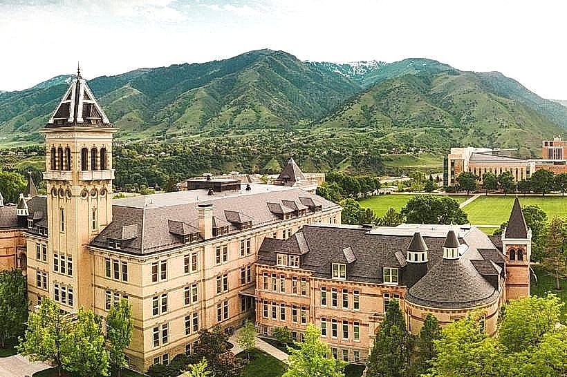
- Utah State University Campus (2.5km West)
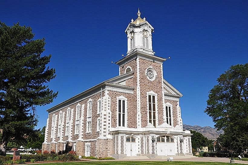
- Logan Tabernacle (3.0km West)
- American West Heritage Center (4.0km Northwest)
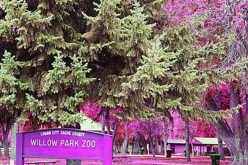
- Willow Park (3.5km West)