Landmark: Mbulo Island
City: Western Province
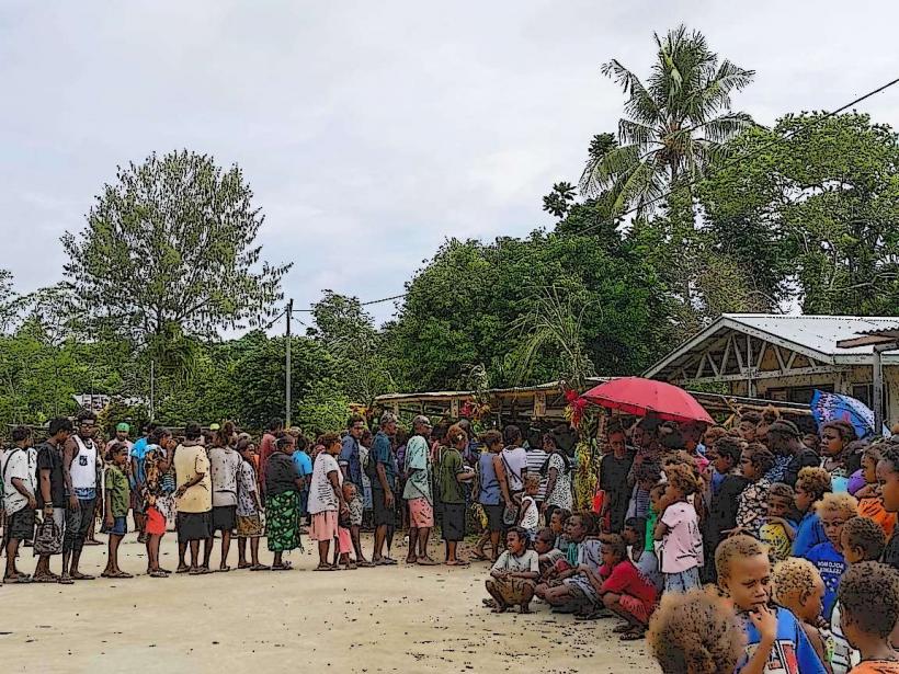
Country: Solomon Islands
Continent: Australia
Mbulo Island, Western Province, Solomon Islands, Australia
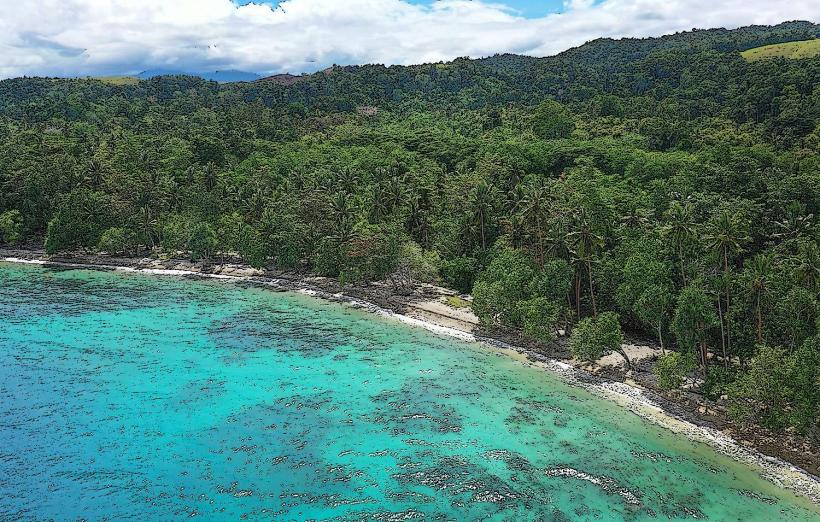
Mbulo Island is a small landmass situated off the coast of the Western Province in the Solomon Islands.
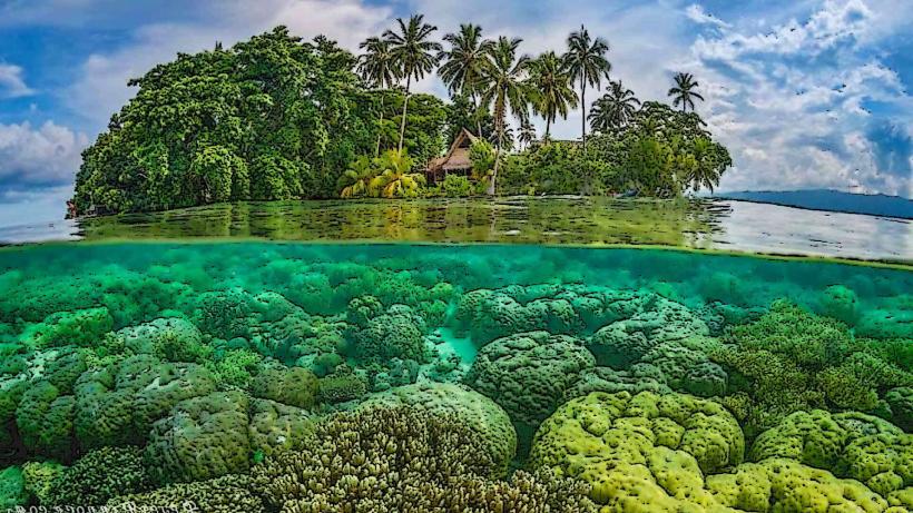
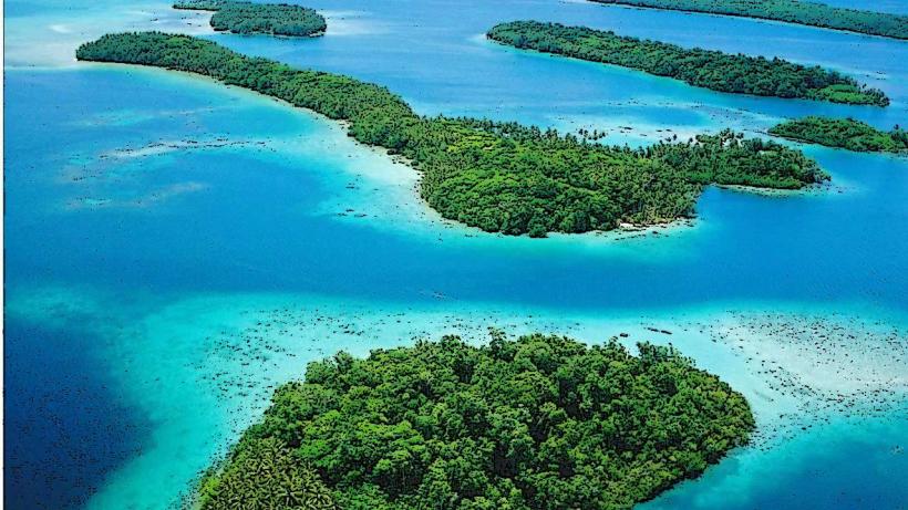
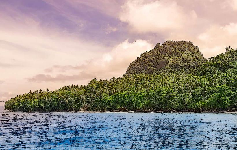
This island is characterized by its low elevation, sandy beaches, and dense tropical vegetation.
Visual Characteristics
Mbulo Island features a coastline composed of fine, light-colored sand. Inland, the terrain is covered by a dense canopy of tropical trees, primarily coconut palms and various broadleaf species. The island's elevation does not exceed 10 meters above sea level.
Location & Access Logistics
Mbulo Island is located approximately 15 kilometers west of Gizo, the provincial capital. Access is primarily via boat. Private boat hire or organized tours from Gizo are the standard methods of transport. There are no public ferry services. The journey typically takes 30-45 minutes depending on sea conditions. There is no designated landing dock; boats anchor offshore and passengers disembark onto the beach.
Historical & Ecological Origin
Mbulo Island is a coral island, formed from the accumulation of coral debris and sand over a submerged reef structure. Its ecological origin is tied to the surrounding coral reef system, which supports a diverse marine environment.
Key Highlights & Activities
Snorkeling is possible around the fringing reef. Swimming is permitted in the calm lagoon areas. Beachcombing along the shoreline is an available activity. Limited birdwatching opportunities exist within the island's vegetation.
Infrastructure & Amenities
There are no permanent structures or facilities on Mbulo Island. Restrooms, shade, food vendors, and cell phone signal are absent. Visitors should bring all necessary supplies, including water and food.
Best Time to Visit
The best time for visiting Mbulo Island is during the dry season, from May to October, when rainfall is minimal and sea conditions are generally calmer. Mid-morning offers good lighting for photography of the island's features. High tide is preferable for easier boat access to the beach.
Facts & Legends
Local lore suggests that the island was once inhabited by a small community who left due to a perceived scarcity of fresh water, though geological surveys indicate the presence of shallow groundwater. A specific tip for visitors is to observe the variety of shells deposited on the western beach after periods of strong offshore winds.
Nearby Landmarks
- Gizo Island (15km East)
- Kolombangara Island (25km South-East)
- Vella Lavella Island (40km West)