Landmark: Medicine Bow National Forest
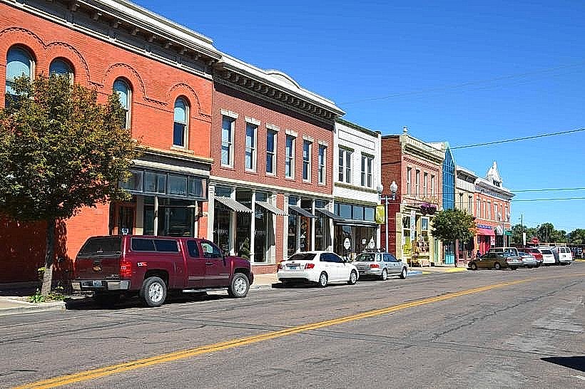
City: Laramie
Country: USA Wyoming
Continent: North America
Medicine Bow National Forest, Laramie, USA Wyoming, North America
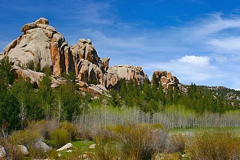
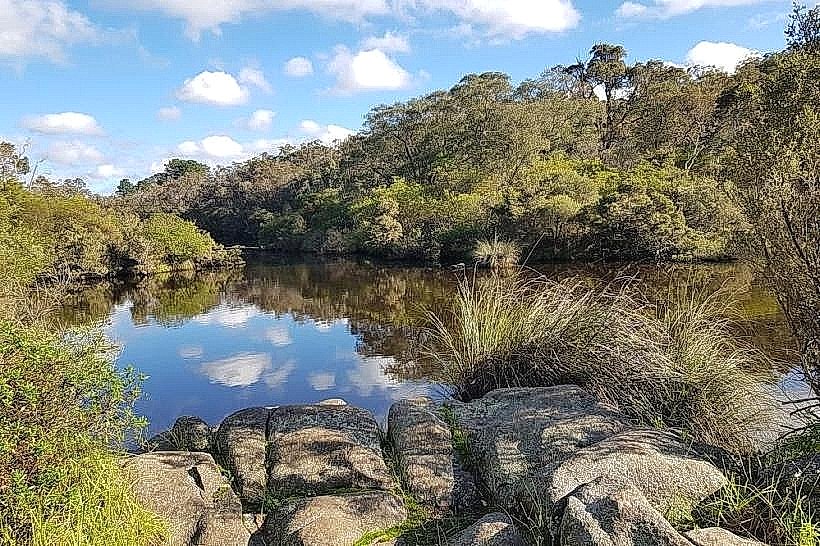
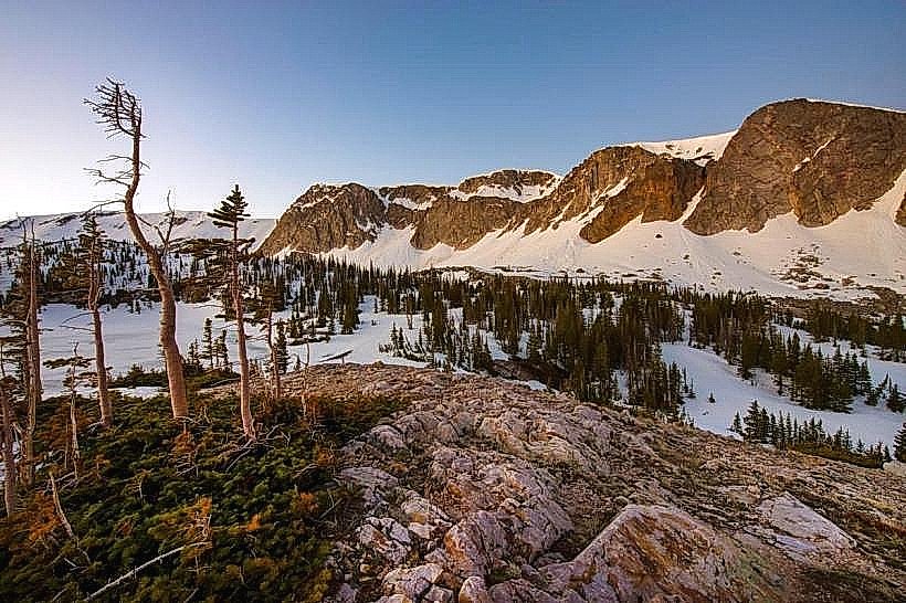
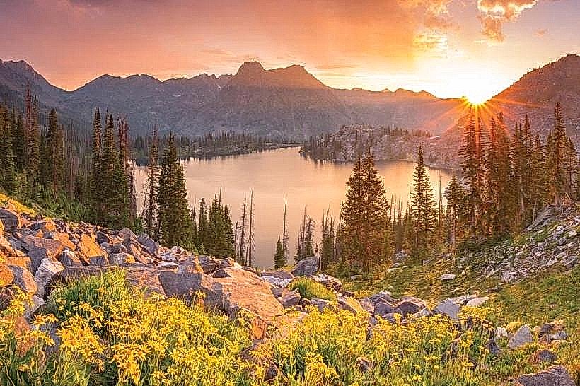
Medicine Bow National Forest is a protected area located in southeastern Wyoming, USA. It encompasses a significant portion of the Medicine Bow Mountains and Snowy Range.
Visual Characteristics
The forest features a diverse topography ranging from high alpine meadows and rugged granite peaks to dense coniferous forests of lodgepole pine, Engelmann spruce, and subalpine fir. Elevation varies significantly, with the Snowy Range crest reaching over 12,000 feet. Numerous clear, cold lakes and streams are present, reflecting the surrounding granite formations and evergreen vegetation. Summer vegetation includes a variety of wildflowers in the meadows, while winter brings heavy snowpack.
Location & Access Logistics
Medicine Bow National Forest is situated approximately 30 miles west of Laramie, Wyoming. Access is primarily via Interstate 80 (I-80) west from Laramie. Take Exit 139 for Wyoming Highway 130 (Snowy Range Scenic Byway). This highway traverses the heart of the forest. Several Forest Service roads branch off Highway 130, providing access to trailheads and campgrounds. Parking is available at designated pull-offs and within developed campgrounds and picnic areas. No public transport services operate within the forest itself.
Historical & Ecological Origin
Established as a National Forest in 1902, Medicine Bow National Forest was initially designated to protect timber resources and watersheds. The geological formations are primarily Precambrian granite, sculpted by glacial activity during past ice ages. The area supports a variety of ecosystems, including montane forests, alpine tundra, and riparian zones, providing habitat for diverse wildlife.
Key Highlights & Activities
Hiking is a primary activity, with trails ranging from short interpretive walks to multi-day backpacking routes. The Snowy Range Scenic Byway offers opportunities for scenic driving and photography. Fishing is permitted in lakes and streams, with species including trout. Wildlife viewing is common, with potential sightings of elk, deer, moose, and smaller mammals. Camping is available at numerous designated campgrounds. In winter, cross-country skiing and snowshoeing are possible on designated trails.
Infrastructure & Amenities
Developed campgrounds offer basic amenities such as vault toilets and picnic tables. Potable water is available at some locations. Cell phone signal is intermittent and generally unavailable in remote areas. Food vendors are not present within the forest; visitors should bring their own supplies. Restrooms are available at developed sites and some trailheads. Shade is abundant within the forested areas.
Best Time to Visit
The primary season for accessing the Snowy Range Scenic Byway and most hiking trails is from late May or June through October, depending on snowmelt. July and August offer the warmest weather and peak wildflower bloom. For photography, early morning and late afternoon light provides optimal conditions for capturing the granite formations and landscapes. High tide is not a relevant factor for this inland forest location.
Facts & Legends
The Medicine Bow Mountains are named after a Native American tribal artifact, a bow used for medicine. A specific geological feature known as the "Vedauwoo Recreation Area," located on the eastern edge of the forest, features large, weathered granite rock formations that are popular for climbing and exploration. These formations are composed of Sherman Granite, a coarse-grained, pinkish granite.
Nearby Landmarks
- University of Wyoming (8km East)
- Vedauwoo Recreation Area (12km East)
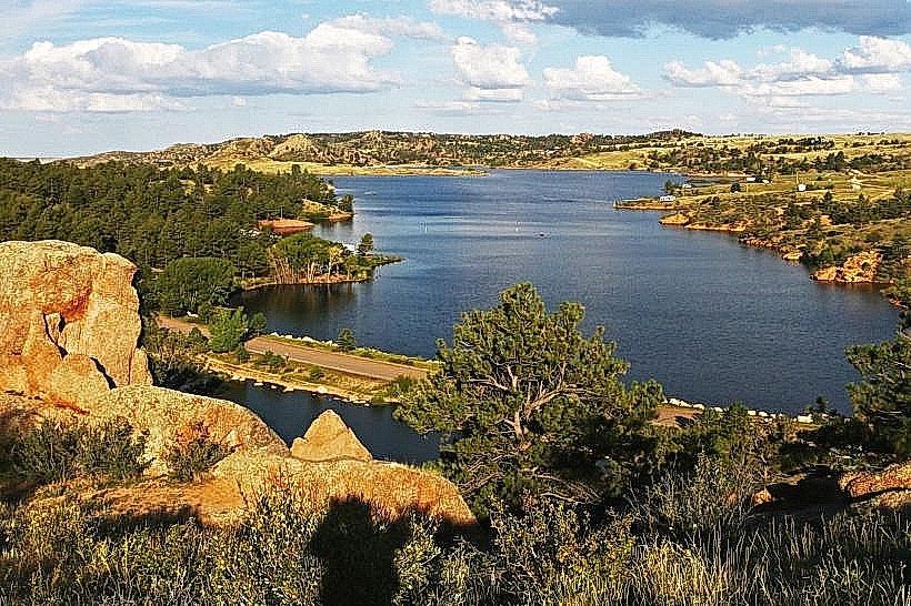
- Curt Gowdy State Park (25km Southeast)
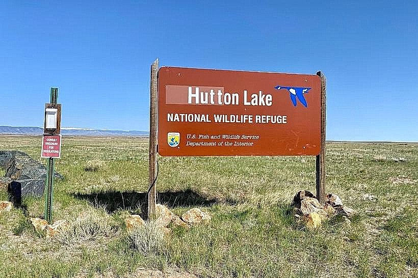
- Happy Jack Recreation Area (30km East)
- Pole Mountain (35km Southeast)