Landmark: Snowy Range Scenic Byway
City: Laramie
Country: USA Wyoming
Continent: North America
Snowy Range Scenic Byway, Laramie, USA Wyoming, North America
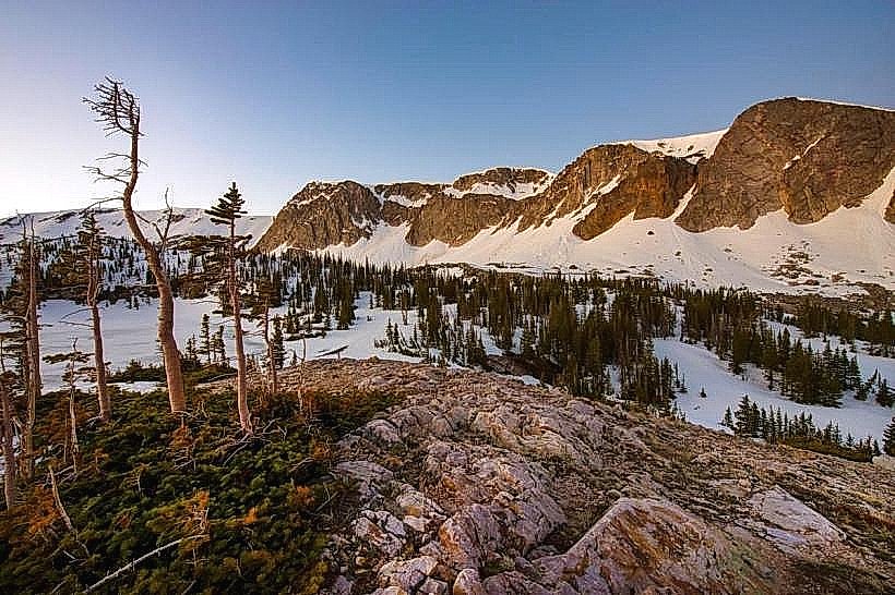
The Snowy Range Scenic Byway is a 29-mile (47 km) paved road traversing the Medicine Bow National Forest in southeastern Wyoming. It connects the towns of Laramie and Saratoga, passing through high alpine terrain.
Visual Characteristics
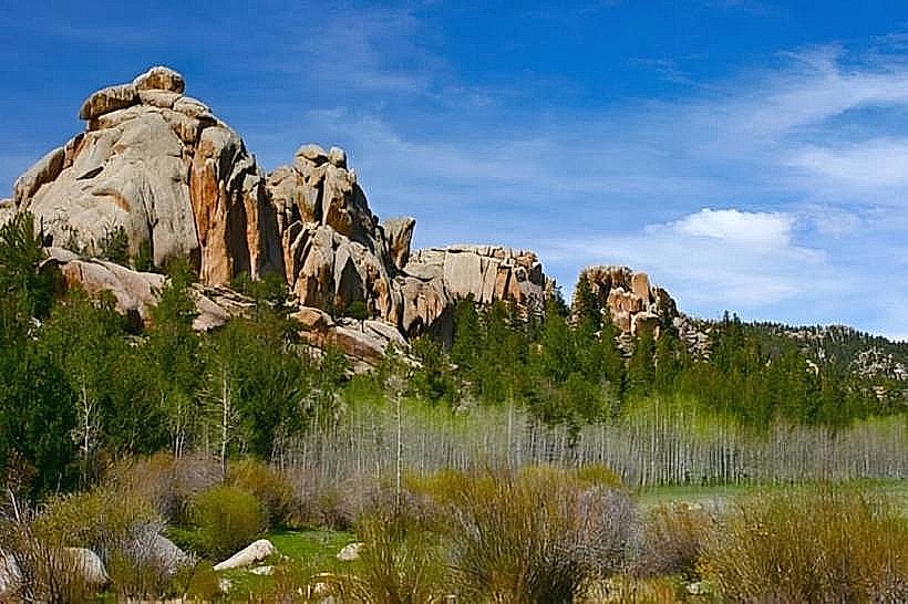
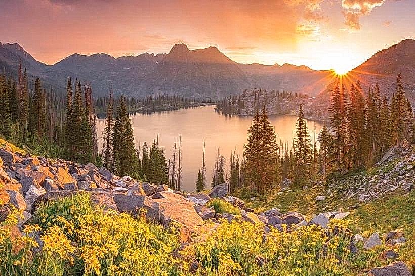
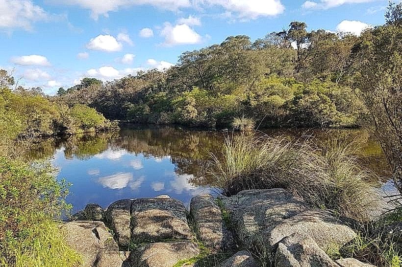
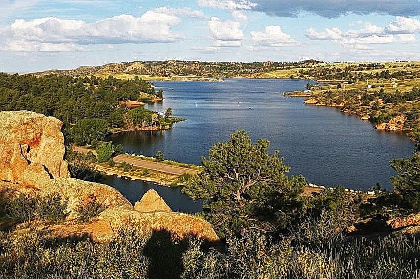
The byway ascends to elevations exceeding 10,000 feet (3,048 meters). It features granite peaks, alpine meadows, and numerous glacial lakes. Vegetation includes lodgepole pine, subalpine fir, and Engelmann spruce at lower elevations, transitioning to alpine tundra with low-lying shrubs and grasses at higher altitudes. Lake Marie and Mirror Lake are prominent water bodies along the route, typically exhibiting clear, cold water.
Location & Access Logistics
The eastern terminus is located 20 miles (32 km) west of Laramie, Wyoming, accessible via Wyoming Highway 130. The western terminus is near Saratoga, Wyoming, also via Wyoming Highway 130. The byway is a single paved road with pull-offs and designated parking areas at key viewpoints and trailheads. No public transport services operate directly on the byway. The nearest major airport is Laramie Regional Airport (LAR), approximately 25 miles (40 km) east of the eastern entrance.
Historical & Ecological Origin
The route follows a path shaped by glacial activity during the Pleistocene epoch. The Snowy Range is composed of Precambrian granite, some of the oldest rock formations in North America. The byway itself was developed as a scenic drive to showcase the natural landscape, with significant improvements occurring in the mid-20th century to facilitate tourism and recreation within the Medicine Bow National Forest.
Key Highlights & Activities
Hiking trails are accessible from multiple points, including the Medicine Bow Peak Trail (summit access) and trails around Lake Marie and Mirror Lake. Fishing is permitted in designated lakes and streams, subject to Wyoming Game and Fish regulations. Wildlife viewing opportunities include elk, deer, moose, and various bird species. Photography is a common activity, particularly at sunrise and sunset.
Infrastructure & Amenities
Restrooms are available at designated picnic areas and trailheads, such as the Lake Marie picnic area. Shade is provided by coniferous forests at lower elevations; higher alpine areas are exposed. Cell phone signal is intermittent and generally unreliable along most of the byway. Food vendors are not present directly on the byway; provisions should be obtained in Laramie or Saratoga.
Best Time to Visit
The byway is typically open from late May or early June through October, depending on snowpack. For photography, early morning and late afternoon offer optimal lighting conditions. The months of July and August provide the most stable weather and full accessibility. High tide is not a relevant factor for this mountain byway.
Facts & Legends
A local legend suggests that the distinctive granite formations in the Snowy Range were shaped by giants. Geologically, the area is known for its well-preserved glacial cirques and moraines, evidence of past ice sheet activity. A specific tip for visitors is to be aware of rapidly changing weather conditions, even in summer, and to carry appropriate layers of clothing.
Nearby Landmarks
- Medicine Bow Peak (0.5km North)
- Vedauwoo Recreation Area (25km East)
- Curt Gowdy State Park (30km Southeast)
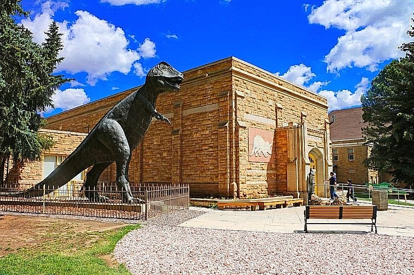
- University of Wyoming Geological Museum (32km East)
- Happy Jack Recreation Area (40km East)