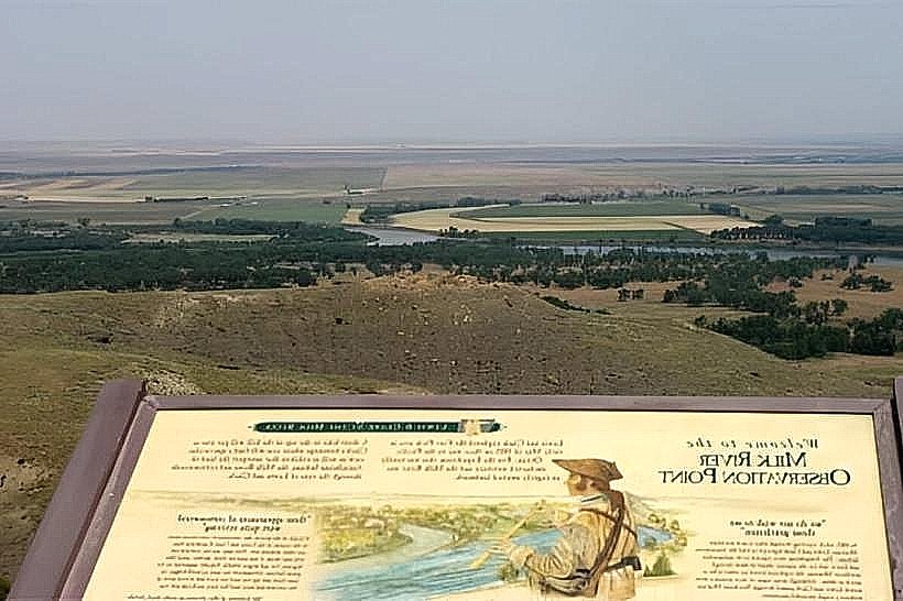
Landmark: Milk River Observation Point
City: Havre
Country: USA Montana
Continent: North America
Milk River Observation Point, Havre, USA Montana, North America
The Milk River Observation Point is a geological formation located in Havre, Montana, USA.
This site offers a vantage point for viewing the surrounding landscape and the Milk River.
Visual Characteristics
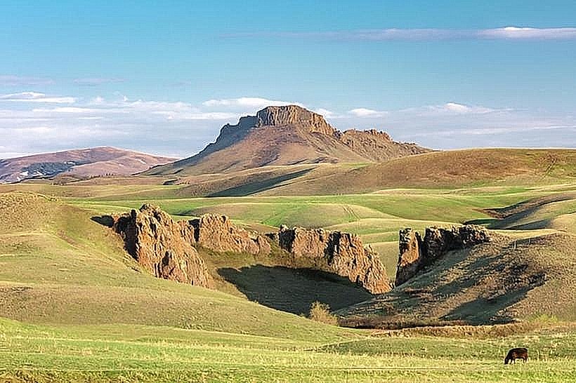
The observation point is situated on a sandstone bluff. The rock formations exhibit layered sedimentary structures, primarily in shades of tan and light brown. Vegetation consists of sparse prairie grasses and scattered juniper trees. The Milk River, visible below, typically appears brown due to sediment load, especially after rainfall.
Location & Access Logistics
The observation point is located approximately 8 kilometers (5 miles) east of downtown Havre, Montana. Access is via US Highway 2 East. Turn north onto a gravel road marked by a small, unpaved pull-off area. Parking is limited to a few vehicles on the shoulder of the gravel road. No public transport services this location.
Historical & Ecological Origin
The sandstone formations at Milk River Observation Point are part of the Fort Union Formation, dating back to the Paleocene epoch (approximately 66 to 56 million years ago). These sedimentary rocks were deposited in a shallow inland sea and later uplifted and eroded by the Milk River and wind action.
Key Highlights & Activities
Observation of the Milk River valley. Photography of geological strata. Birdwatching for prairie species. Short walks on the bluff's edge are possible, but caution is advised due to uneven terrain.
Infrastructure & Amenities
There are no developed facilities at the Milk River Observation Point. Restrooms, shade structures, and food vendors are not present. Cell phone signal (4G/5G) is intermittent to non-existent.
Best Time to Visit
For optimal lighting for photography, early morning or late afternoon is recommended. The months of June through September offer the most stable weather conditions. The observation point is accessible year-round, but winter conditions can make the gravel access road impassable.
Facts & Legends
Local folklore suggests that during periods of heavy rainfall, the sediment churned by the Milk River resembles a milky substance, giving the river its name. Geologically, the river's color is a direct result of erosion carrying fine silt and clay particles from the surrounding landscape.
Nearby Landmarks
- Fort Assinniboine (10km West)
- Bear Paw Mountains (30km South)
- Havre Beneath the Streets (8km West)
- Fresno Reservoir (25km Southwest)