Landmark: Minneopa State Park
City: Mankato
Country: USA Minnesota
Continent: North America
Minneopa State Park, Mankato, USA Minnesota, North America
Minneopa State Park is a protected natural area located in Mankato, Minnesota, USA. It encompasses a significant portion of the Minneopa River valley.
Visual Characteristics
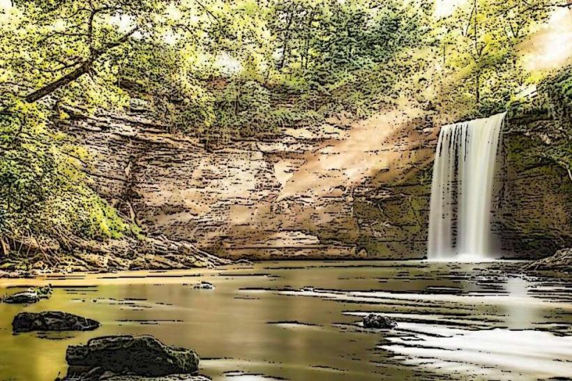
The park features a deep river valley carved by the Minneopa River. The valley walls are composed of limestone and shale, with exposed rock formations. The river itself is approximately 15-20 meters wide in the main gorge, with varying depths. Vegetation includes deciduous forests, primarily oak and maple, with undergrowth of ferns and wildflowers. The park also contains prairie remnants with grasses and native wildflowers. A prominent waterfall, Minneopa Falls, drops approximately 30 feet over a limestone ledge.
Location & Access Logistics
Minneopa State Park is situated approximately 10 kilometers west of downtown Mankato, Minnesota. Access is via County Road 17 (also known as Minneopa Road). The park entrance is clearly marked. Parking is available at designated lots near the main visitor center, the waterfall overlook, and trailheads. Public transport options directly to the park are not available; visitors typically require private vehicles.
Historical & Ecological Origin
The Minneopa River valley was shaped by glacial meltwater during the last ice age, a process that began approximately 10,000 years ago. The limestone formations are part of the Devonian period sedimentary rock layers. The park was established in 1904 to preserve the natural beauty of the river valley and its waterfall. The prairie areas are remnants of the original tallgrass prairie ecosystem that once covered much of the region.
Key Highlights & Activities
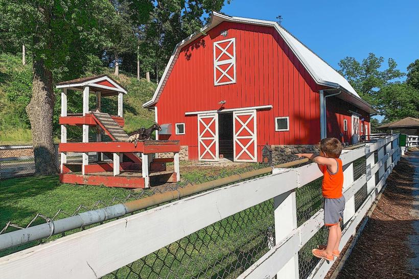
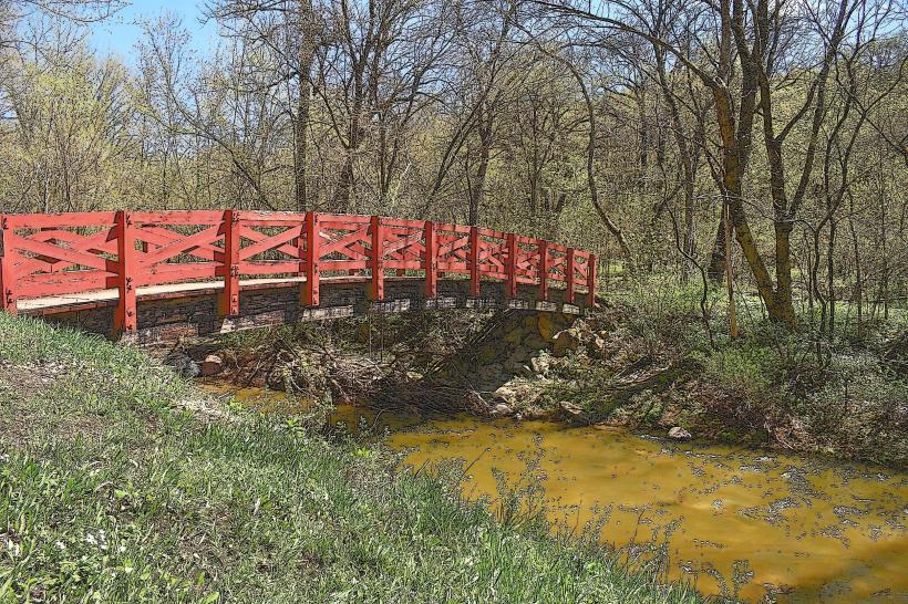
Observation of Minneopa Falls from the overlook platform. Hiking on marked trails, including the 1.2-mile paved trail to the falls and the 3.5-mile River Trail loop. Wildlife viewing, particularly for the park's bison herd which roams in a designated paddock. Picnicking at designated areas. Photography of the river valley and falls.
Infrastructure & Amenities
Restrooms are available at the main visitor center and near the waterfall overlook. Picnic tables and shelters are provided. Shade is available from trees in forested areas and at picnic sites. Cell phone signal (4G/5G) is generally available within the park, though it may be intermittent in deeper parts of the valley. No on-site food vendors; nearest facilities are in Mankato.
Best Time to Visit
For photography, early morning or late afternoon light provides optimal illumination of the falls and valley. The best months for pleasant weather and hiking are May through October. Spring (April-May) offers wildflowers, while autumn (September-October) provides fall foliage. The waterfall's flow is most substantial in spring due to snowmelt and after significant rainfall.
Facts & Legends
The park is home to a herd of approximately 30-40 bison, reintroduced in 2015. This herd is managed to replicate natural grazing patterns. A local historical account mentions the falls being a significant landmark for Dakota people prior to European settlement.
Nearby Landmarks
- 7km East: Sibley Park (Mankato)
- 8km East: Mount Kato Ski Area (Mankato)
- 12km Southwest: Rapidan State Park
- 15km Northeast: Blue Earth River