Landmark: Riverfront Park
City: Mankato
Country: USA Minnesota
Continent: North America
Riverfront Park, Mankato, USA Minnesota, North America
Riverfront Park is a public recreational area situated along the Minnesota River in Mankato, Minnesota.
This park provides access to the riverfront and includes various amenities for public use.
Visual Characteristics
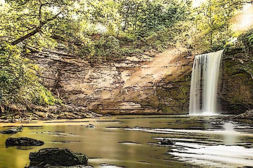
The park features a mix of mown grass areas, paved walking paths, and natural riverbank zones. Mature deciduous trees provide canopy cover in sections. The Minnesota River's water color varies based on recent precipitation and sediment load, typically appearing brown or grey. The terrain is largely flat with gentle slopes towards the river.
Location & Access Logistics
Riverfront Park is located at 400-498 Riverfront Dr, Mankato, MN 56001. It is approximately 1.5 kilometers southwest of Mankato's central business district. Access is via Riverfront Drive, which connects to US Highway 14. Ample paved parking is available within the park grounds. Public transport options include the Mankato Transit System bus route 1, which stops at the intersection of Riverfront Drive and Main Street, a 0.3km walk from the park entrance.
Historical & Ecological Origin
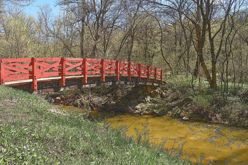
The area now known as Riverfront Park was historically part of the river floodplain, subject to natural seasonal flooding. Development for public use began in the late 20th century, transforming the land into a managed recreational space. Ecologically, it represents a riparian zone supporting a variety of plant and animal life adapted to riverine environments.
Key Highlights & Activities
Activities include walking and cycling on paved trails, picnicking at designated areas, and fishing from the riverbank. Kayak and canoe launch points are available. Birdwatching is a common activity due to the presence of various waterfowl and migratory species.
Infrastructure & Amenities
Restrooms are available at the main pavilion. Several picnic tables and shelters are distributed throughout the park, offering shade. Cell phone signal (4G/5G) is generally reliable within the park. No on-site food vendors operate within the park, but several restaurants are located within a 1km radius in the downtown area.
Best Time to Visit
For photography, early morning or late afternoon provides optimal lighting conditions due to the angle of the sun. The months of May through October offer the most favorable weather for outdoor activities. River levels can fluctuate significantly, impacting accessibility for watercraft; checking local river conditions is advised.
Facts & Legends
A specific historical oddity is the park's proximity to the former site of the Mankato Brewery, which operated from the late 19th century until the mid-20th century. Visitors can sometimes find remnants of old brickwork near the river's edge.
Nearby Landmarks
- Mankato Brewery (0.2km Northeast)
- Veterans Memorial Bridge (0.8km East)
- Sibley Park (1.2km North)
- Blue Earth County Historical Society (1.5km Northeast)
- Courage Park (1.8km Southeast)