Landmark: Seven Mile Creek Park
City: Mankato
Country: USA Minnesota
Continent: North America
Seven Mile Creek Park, Mankato, USA Minnesota, North America
Seven Mile Creek Park is a public recreational area located in Mankato, Minnesota, USA.
This park encompasses a significant portion of the Seven Mile Creek watershed, providing a natural corridor within the urban landscape.
Visual Characteristics
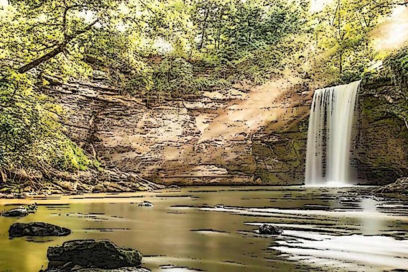
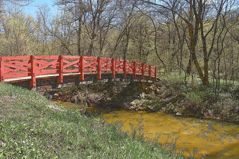
The park features a riparian zone dominated by deciduous trees, primarily oak and maple species. The creek itself exhibits clear, shallow water over a gravel and cobble bed. The terrain is gently rolling, with some steeper inclines along the creek banks. Native grasses and wildflowers are present in open meadow areas.
Location & Access Logistics
Seven Mile Creek Park is situated south of downtown Mankato. Access is primarily from County Road 12 (Liberty Street) via multiple entry points. The main entrance is located at 1700 Liberty Street. Parking is available at designated lots along Liberty Street and at the trailhead near the intersection of Liberty Street and County Road 16. Public transport options are limited; the closest bus route is Metro Bus Route 14, with a stop approximately 1.5km north of the park's main entrance.
Historical & Ecological Origin
The park was established to preserve the natural habitat of Seven Mile Creek, a tributary of the Minnesota River. The creek's watershed has been shaped by glacial activity, with the current riparian ecosystem developing over centuries. The area was historically used for agriculture before its designation as a park.
Key Highlights & Activities
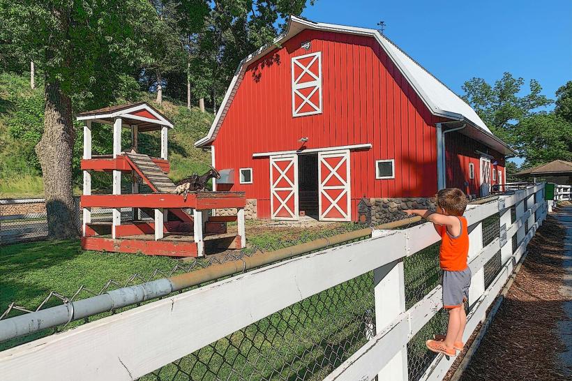
Hiking is permitted on marked trails, including the Seven Mile Creek Trail which follows the creek for approximately 3km. Birdwatching is a common activity due to the diverse avian population. Fishing is allowed in Seven Mile Creek, subject to Minnesota Department of Natural Resources regulations. Picnicking is available at designated sites with tables and grills.
Infrastructure & Amenities
Restrooms are available at the main trailhead near 1700 Liberty Street. Shade is provided by the tree canopy throughout much of the park. Cell phone signal (4G/5G) is generally available within the park boundaries. No food vendors are located within the park; nearest services are approximately 2km north in Mankato.
Best Time to Visit
For photography, early morning or late afternoon light offers optimal illumination of the creek and foliage. The months of May through October provide the most favorable weather conditions for outdoor activities. No specific tide requirements apply.
Facts & Legends
A local historical note indicates that the creek was named for its approximate length from its source to its confluence with the Minnesota River. Anecdotal accounts suggest the creek was a significant water source for early settlers in the region.
Nearby Landmarks
- Minneopa State Park (4.5km Southwest)
- Sibley Park (3.0km North)
- Mankato Civic Center (3.5km North)
- Blue Earth County Historical Society (3.8km North)