Information
Landmark: Mount TallacCity: Tahoe
Country: USA California
Continent: North America
Mount Tallac, Tahoe, USA California, North America
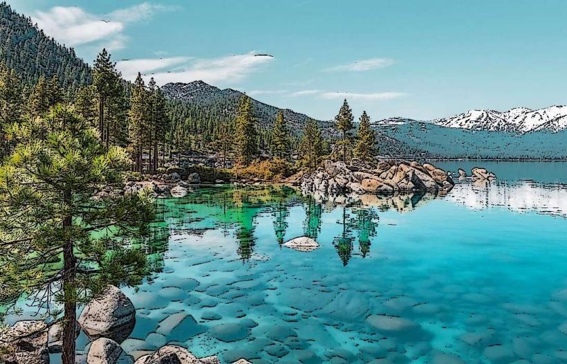
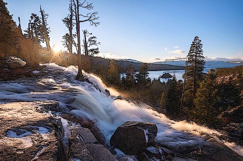
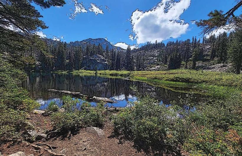
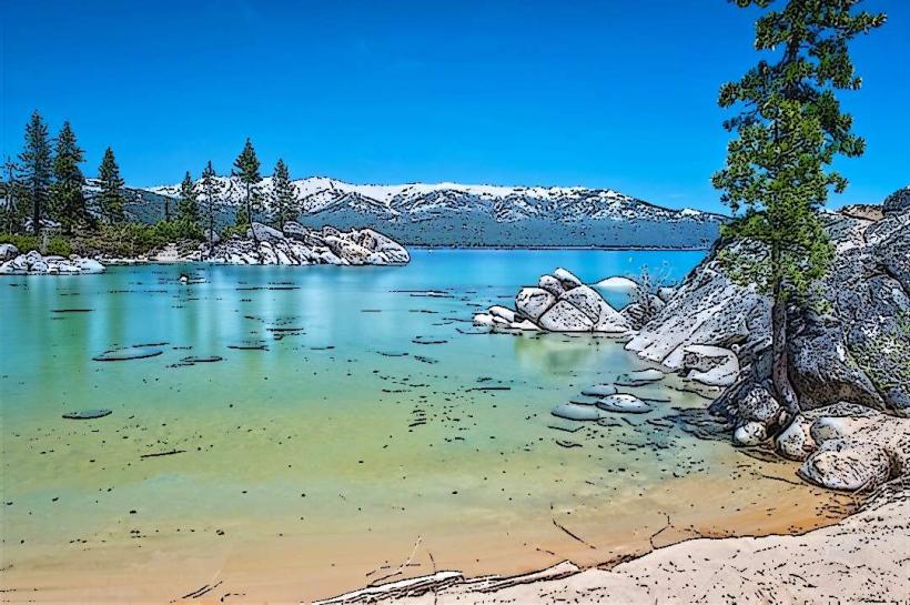
Mount Tallac is a prominent peak located in the Sierra Nevada mountain range, south of Lake Tahoe, California, USA.
Visual Characteristics
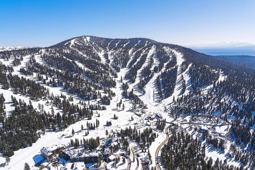
The mountain exhibits a granite composition, with exposed rock faces and scree slopes dominating its upper elevations. Lower slopes are covered with coniferous forest, primarily Jeffrey pine, lodgepole pine, and white fir. Snowpack is typically present from late autumn through early summer, significantly altering its appearance.
Location & Access Logistics
Mount Tallac is situated approximately 10 miles southwest of South Lake Tahoe. Access is via Highway 89 South, turning onto Mount Tallac Road. The road is paved for the initial section and transitions to a well-maintained dirt road leading to the main trailhead parking area. Parking is available at the trailhead lot, which can fill during peak season. No public transport directly serves the trailhead; private vehicle or taxi is required.
Historical & Ecological Origin
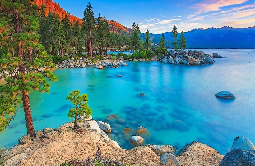
Mount Tallac is composed of Mesozoic granitic rock, part of the Sierra Nevada batholith, formed by the intrusion of magma deep within the Earth's crust millions of years ago. Its current shape is a result of glacial erosion during past ice ages. The area is part of the Lake Tahoe Basin, an ecologically sensitive region.
Key Highlights & Activities
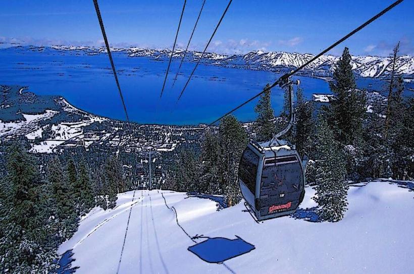
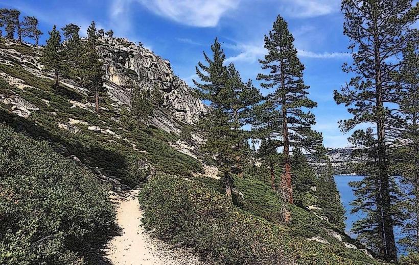
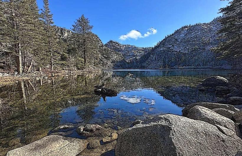
Hiking is the primary activity. The Mount Tallac Trail is a 10-mile roundtrip hike to the summit, with an elevation gain of approximately 3,000 feet. Shorter hikes to viewpoints like Cathedral Lake (4 miles roundtrip) are also available. Snowshoeing and cross-country skiing are possible during winter months when snow conditions permit.
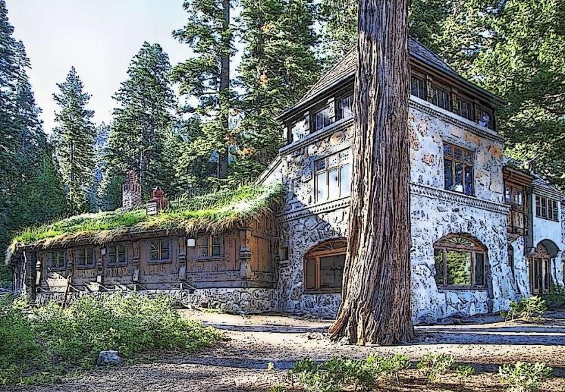
Infrastructure & Amenities
The trailhead parking area has a designated restroom facility. Shade is available in forested areas below the treeline. Cell phone signal is intermittent to non-existent on the trails and at the summit. No food vendors are present at the trailhead or on the mountain.
Best Time to Visit
The optimal hiking season is from late June through October, after snowmelt. Mid-morning offers good lighting for photography before the sun is directly overhead. For snow activities, conditions are typically best from December to March, dependent on snowfall.
Facts & Legends
The name "Tallac" is derived from the Washo word "dá:lag," meaning "big mountain." A local legend suggests that the mountain is home to a spirit that guards the lake.
Nearby Landmarks
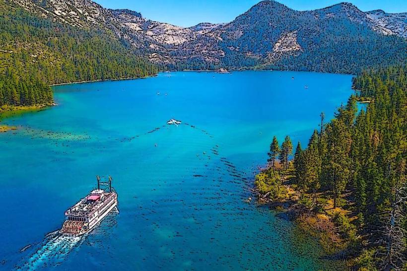
- Emerald Bay State Park (3.5km Northwest)
- Desolation Wilderness (Adjacent to the West)
- Fallen Leaf Lake (2.0km East)
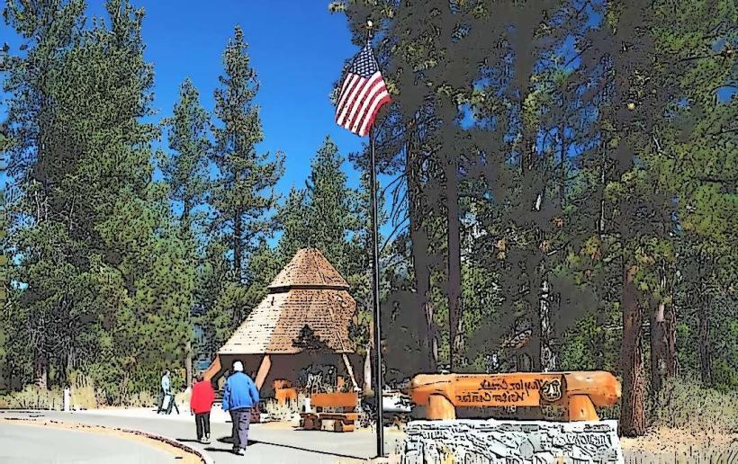
- Taylor Creek Visitor Center (4.0km Northeast)