Information
Landmark: Tahoe Rim TrailCity: Tahoe
Country: USA California
Continent: North America
Tahoe Rim Trail, Tahoe, USA California, North America
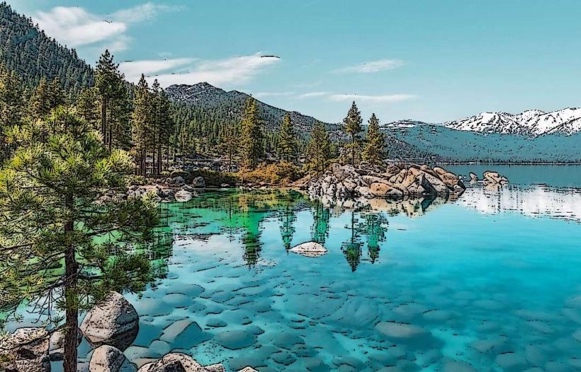
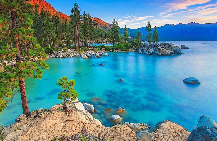
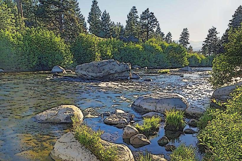
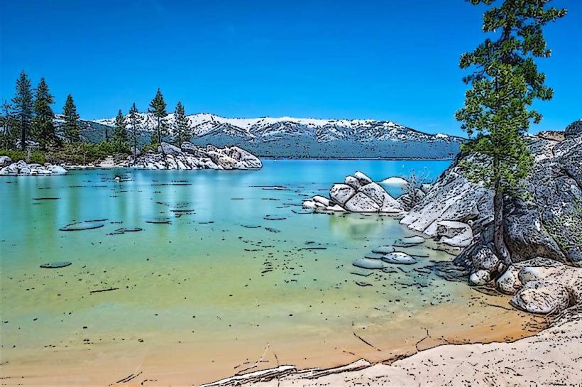
The Tahoe Rim Trail is a 165-mile loop encircling Lake Tahoe in California and Nevada. It traverses diverse terrain, including forests, meadows, and granite peaks.
Visual Characteristics
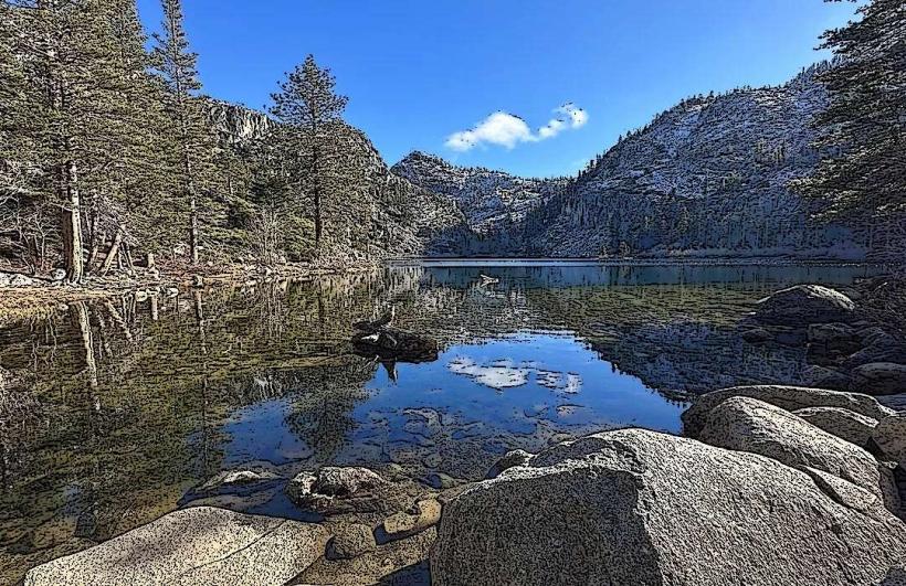
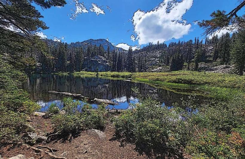
The trail varies in elevation from 6,200 to 10,300 feet. It passes through mixed conifer forests, alpine meadows, and exposed ridgelines. Sections offer views of Lake Tahoe's blue water and surrounding mountain ranges. Trail surfaces include packed dirt, gravel, and rocky sections.
Location & Access Logistics
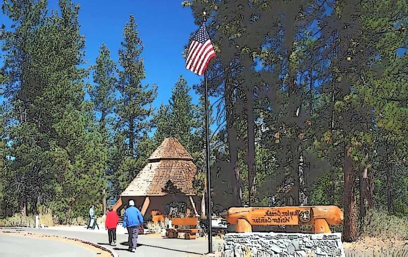
Access points are distributed around the lake. Major trailheads include the Rim Trail Trailhead at Kingsbury Grade (Nevada State Route 207), the Tahoe Meadows Trailhead off U.S. Route 395 (Nevada), and the Brockway Summit Trailhead off State Route 267 (California). Parking is available at designated trailheads, with capacity varying by location. Public transport options are limited to reaching towns near trailheads; trail access typically requires private vehicle or taxi service.
Historical & Ecological Origin
The Tahoe Rim Trail was conceived in the 1970s and completed in 2001. It was designed to provide a continuous hiking experience around the lake, connecting existing trails and forest roads. Ecologically, the trail passes through the Sierra Nevada mountain range, supporting diverse flora and fauna including Jeffrey pines, red firs, and various wildlife species.
Key Highlights & Activities
Hiking is the primary activity. Sections of the trail are suitable for backpacking, with designated campsites. Mountain biking is permitted on specific segments during certain times of the year. Trail running is also a common activity. Designated viewpoints offer opportunities for photography.
Infrastructure & Amenities
Restrooms are available at some major trailheads. Shade is present in forested sections but limited on exposed ridgelines. Cell phone signal is intermittent and generally unavailable in remote areas. Food vendors and services are located in towns surrounding Lake Tahoe, not directly on the trail.
Best Time to Visit
The primary hiking season is from June through October, depending on snowmelt. Mid-morning to late afternoon offers optimal lighting for photography. High elevation sections may be inaccessible due to snow until late June or early July. No tide considerations apply.
Facts & Legends
The trail is divided into 22 segments, allowing for day hikes or multi-day treks. A unique tip for visitors is to carry a detailed map and compass, as trail signage can be sparse in certain areas. The trail is part of the larger Great Basin-Sierra Nevada Divide.
Nearby Landmarks
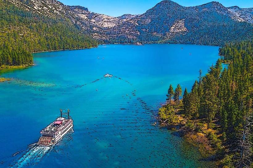
- Lake Tahoe (0.1km West)
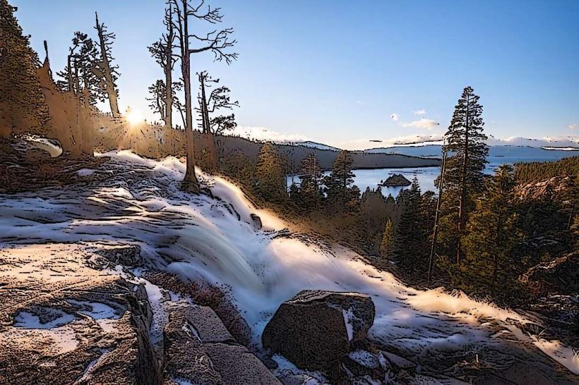
- Emerald Bay State Park (8km Southwest)
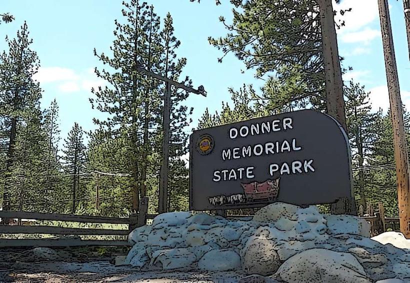
- Donner Memorial State Park (25km Northwest)
- Desolation Wilderness (15km Southwest)
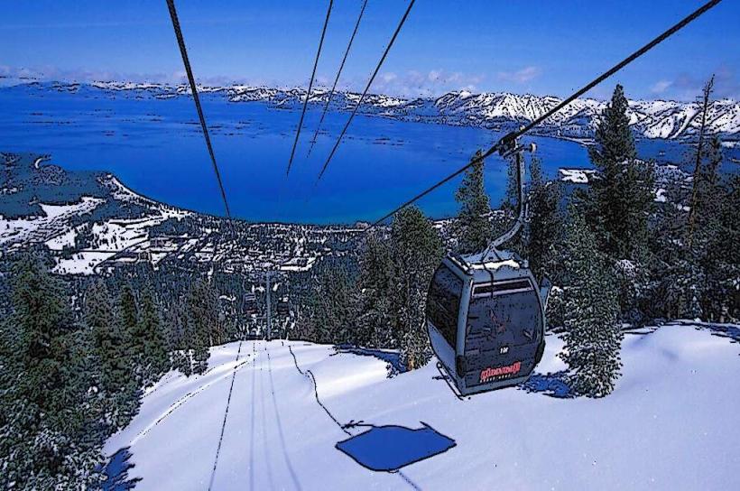
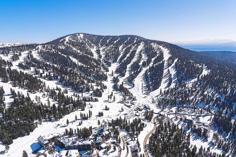
- Heavenly Mountain Resort (5km South)