Information
Landmark: Truckee RiverCity: Tahoe
Country: USA California
Continent: North America
Truckee River, Tahoe, USA California, North America
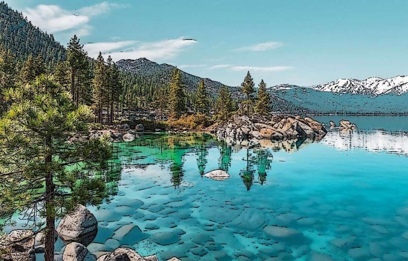
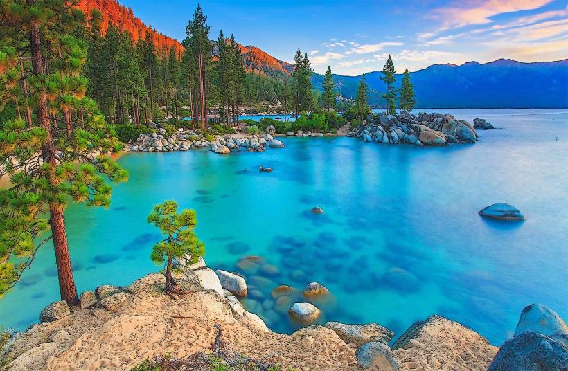
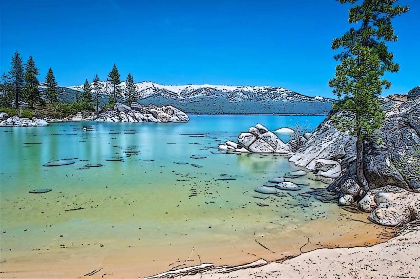
The Truckee River is a significant waterway originating in Lake Tahoe, California, and flowing northeast through Nevada before terminating at Pyramid Lake.
Visual Characteristics
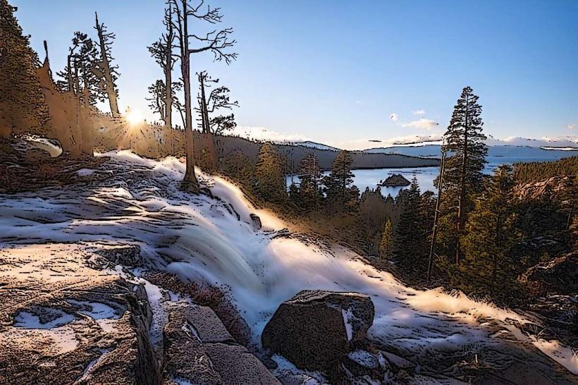
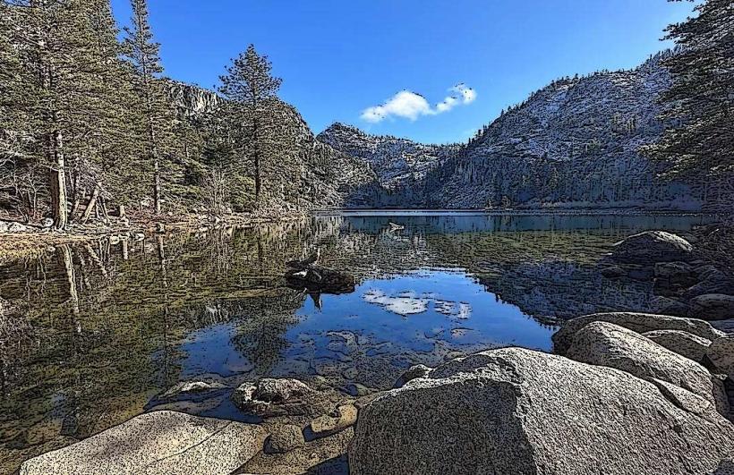
The river's appearance varies along its course. In the Tahoe basin, it is characterized by clear, cold water flowing over a bed of rounded stones and gravel. Downstream, particularly in the Reno-Sparks metropolitan area, the riverbanks are often lined with urban vegetation, and the water can appear murkier due to sediment. Further east, the river carves through arid landscapes, with exposed rock formations and sparse desert flora.
Location & Access Logistics
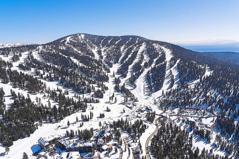
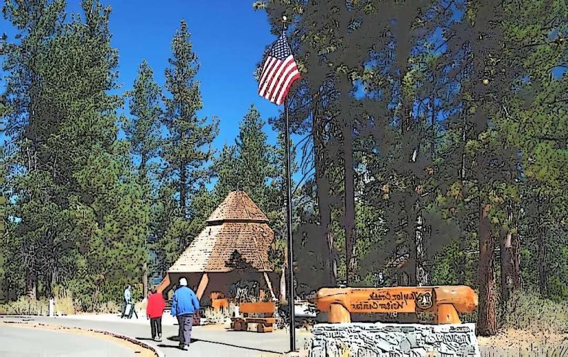
The Truckee River originates at the eastern end of Lake Tahoe in Tahoe City, California. Access points are numerous. State Route 89 follows the river for several miles south of Tahoe City. In Reno, Nevada, the Truckee River runs through the downtown area, with access via Riverwalk Parkway and various city parks. Parking is available in designated lots in Tahoe City and Reno, with fees often applicable. Public transport options include local bus services in Tahoe City and Reno that stop near river access points.
Historical & Ecological Origin
The Truckee River is a natural river system, its course shaped by geological processes over millennia. Its primary ecological function is as the sole outlet for Lake Tahoe, a large freshwater lake formed by glacial activity approximately 2 million years ago. Historically, the river was crucial for indigenous peoples and later for early settlers for transportation and water resources. The Truckee River Agreement, a complex water rights settlement, significantly impacts its management.
Key Highlights & Activities
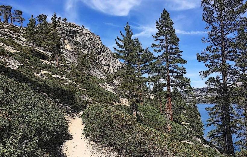
Activities include kayaking and rafting, particularly on sections with moderate rapids. Fishing for trout is a common pursuit. Walking and cycling paths follow the river in urban areas like Reno. Birdwatching is possible along various stretches, especially near wetlands.
Infrastructure & Amenities
Restrooms are available at designated parks and access points along the river, particularly in urban areas. Shade is provided by trees along developed sections. Cell phone signal (4G/5G) is generally available in populated areas along the river but can be intermittent in more remote stretches. Food vendors and restaurants are concentrated in towns and cities adjacent to the river, such as Tahoe City and Reno.
Best Time to Visit
For recreational activities like rafting, the best months are typically May through September, depending on snowmelt and water levels. Spring (April-May) offers higher water flows. For fishing, fall (September-November) is often productive. The best time of day for photography varies; early morning and late afternoon provide softer light, especially in scenic natural areas.
Facts & Legends
A unique aspect of the Truckee River is its role as the sole outlet for Lake Tahoe. The river's flow is regulated by the Lake Tahoe Dam, built in 1913. A local legend speaks of a "river spirit" that guides lost travelers, though this is unsubstantiated.
Nearby Landmarks
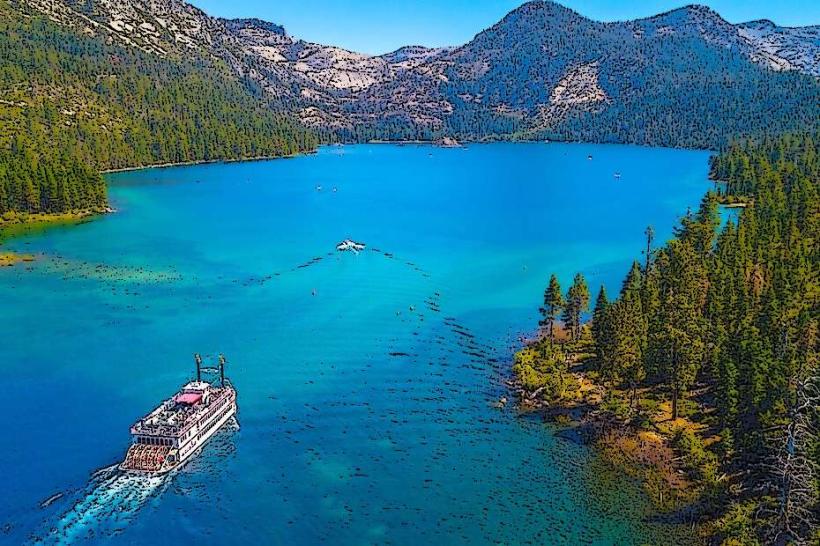
- Lake Tahoe (0.1km West)
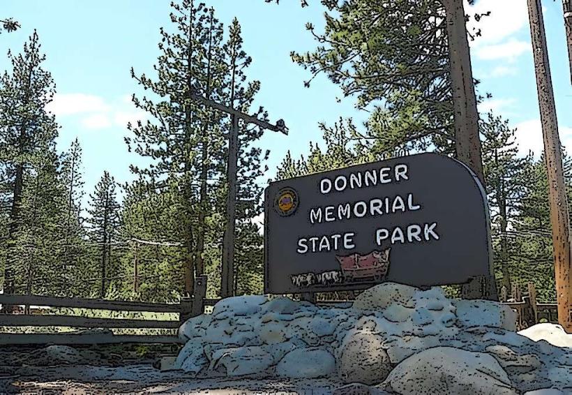
- Donner Memorial State Park (25km West)
- Reno Arch (4km East)
- National Automobile Museum (4.5km East)
- Virginia City Historic District (30km Southeast)