Information
Landmark: South Lake TahoeCity: Tahoe
Country: USA California
Continent: North America
South Lake Tahoe, Tahoe, USA California, North America
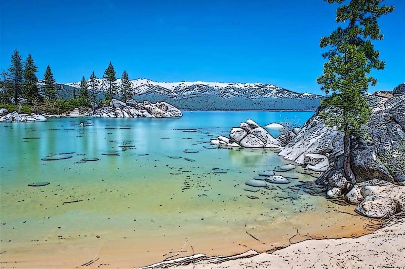
South Lake Tahoe is a city situated on the southern shore of Lake Tahoe in El Dorado County, California, USA. It serves as a primary gateway to the lake's recreational opportunities.
Visual Characteristics
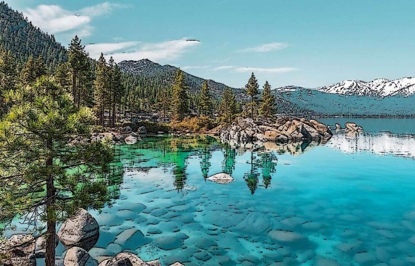
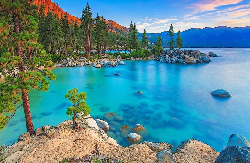
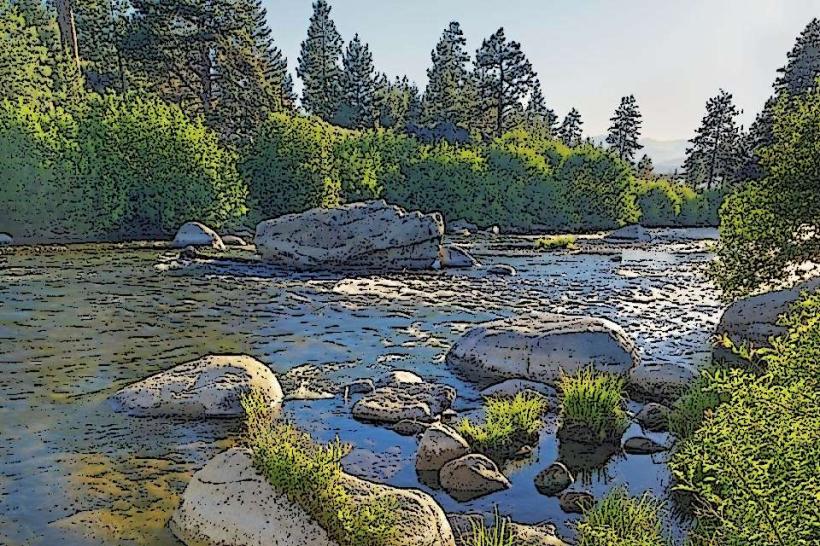
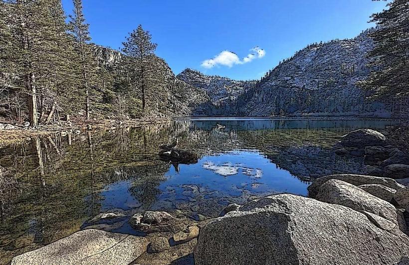
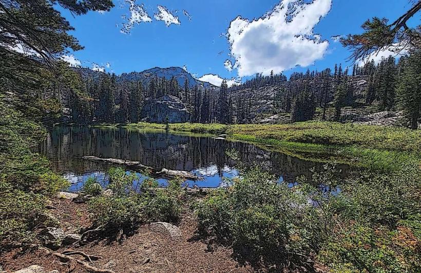
The city is characterized by its proximity to the large, clear freshwater body of Lake Tahoe, which exhibits deep blue to turquoise coloration depending on depth and light. The surrounding landscape features coniferous forests, primarily pine and fir, with granite outcroppings and mountainous terrain. Developed areas consist of hotels, casinos, residential housing, and commercial strips.
Location & Access Logistics
South Lake Tahoe is located approximately 195 miles (314 km) east of San Francisco and 60 miles (97 km) west of Carson City, Nevada. Access is primarily via U.S. Route 50, a major east-west highway. The nearest major airport is Reno-Tahoe International Airport (RNO), located about 60 miles (97 km) northeast, with shuttle services and rental cars available. Parking is available at various public beaches, trailheads, and commercial establishments, though fees may apply during peak seasons. Public transportation includes the Tahoe Transportation District bus system, with routes serving the city and surrounding areas.
Historical & Ecological Origin
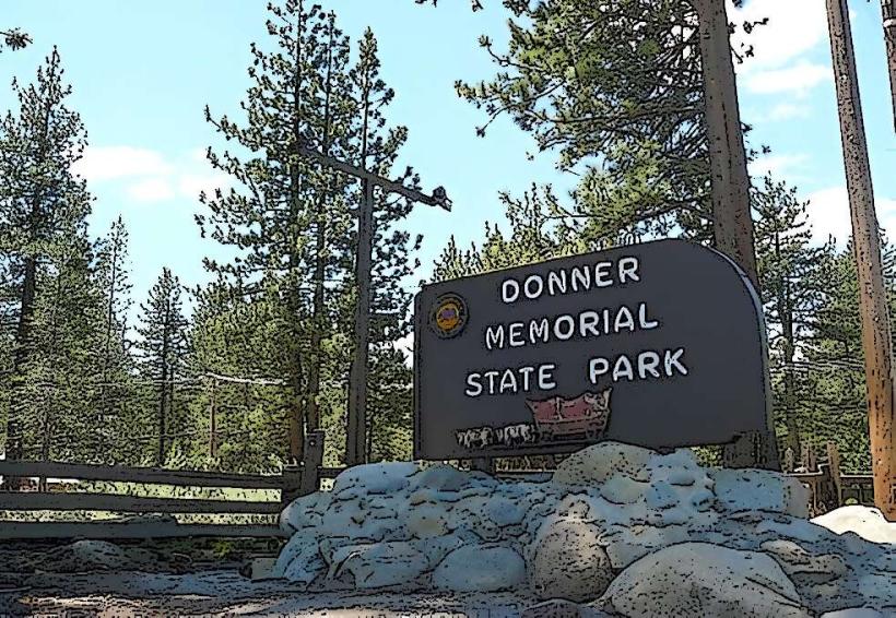
The area's human history dates back to indigenous Washoe people. European-American settlement increased in the late 19th century, driven by logging and later by tourism. Ecologically, Lake Tahoe is a large, oligotrophic freshwater lake formed by glacial activity approximately 2 million years ago. The surrounding Sierra Nevada mountains are characterized by a Mediterranean climate with dry summers and wet, snowy winters.
Key Highlights & Activities
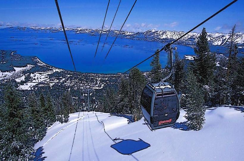
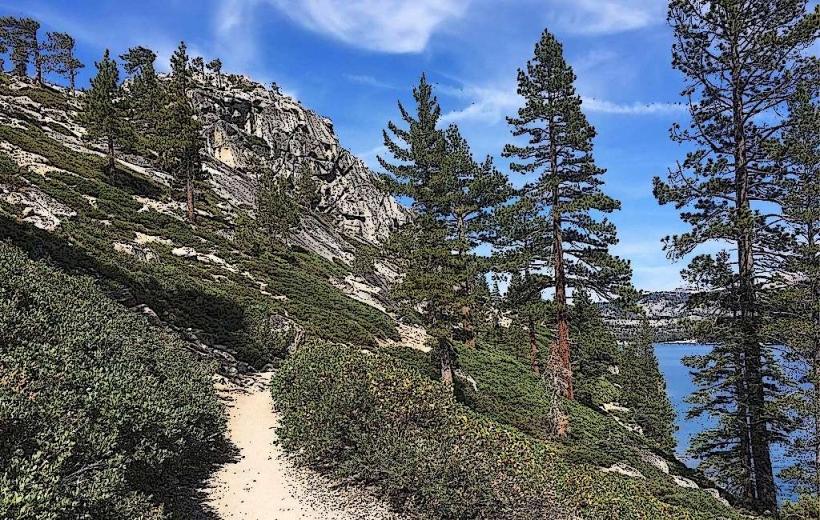
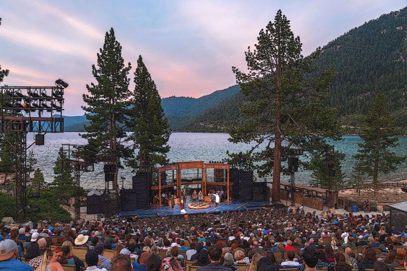
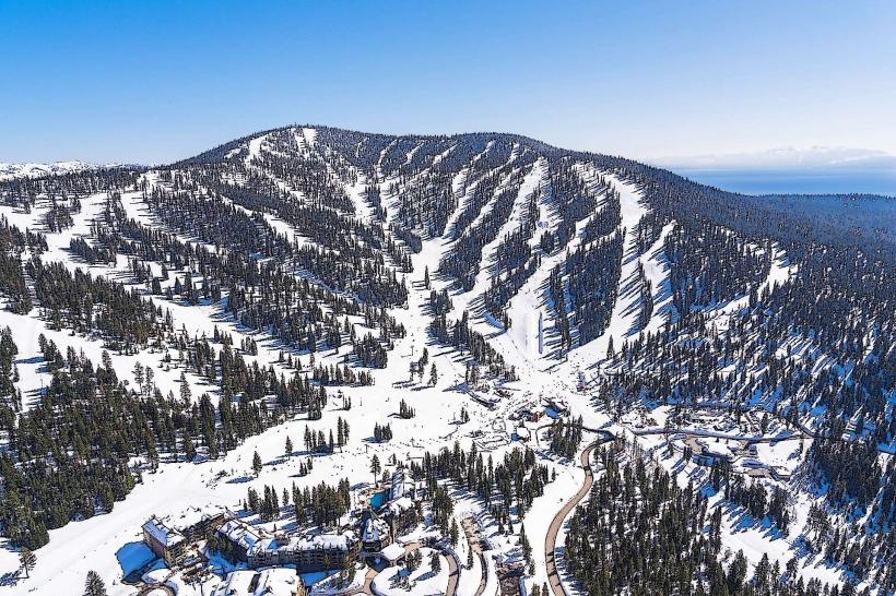
Activities include swimming, boating, and paddleboarding on Lake Tahoe. Hiking trails are accessible in the surrounding national forest lands. Ski resorts such as Heavenly Mountain Resort offer winter sports. Gambling is permitted in the Nevada portion of the city. Fishing is permitted with a California or Nevada fishing license.
Infrastructure & Amenities
Restrooms are available at public beaches and parks. Shade is provided by natural forest cover and some developed picnic areas. Cell phone signal (4G/5G) is generally available within the city limits, though it can be intermittent in more remote hiking areas. Food vendors and restaurants are concentrated along U.S. Route 50 and in commercial centers.
Best Time to Visit
For water activities, the best months are July and August, with water temperatures reaching their highest. For hiking and general sightseeing, May through October offers favorable weather. Winter months (November through April) are optimal for snow sports. Sunrise and sunset offer specific lighting conditions for photography of the lake and mountains.
Facts & Legends
Lake Tahoe's clarity is a significant characteristic; at its deepest points, visibility can exceed 100 feet. A local legend speaks of a mythical creature said to inhabit the lake's depths, though no scientific evidence supports this.
Nearby Landmarks
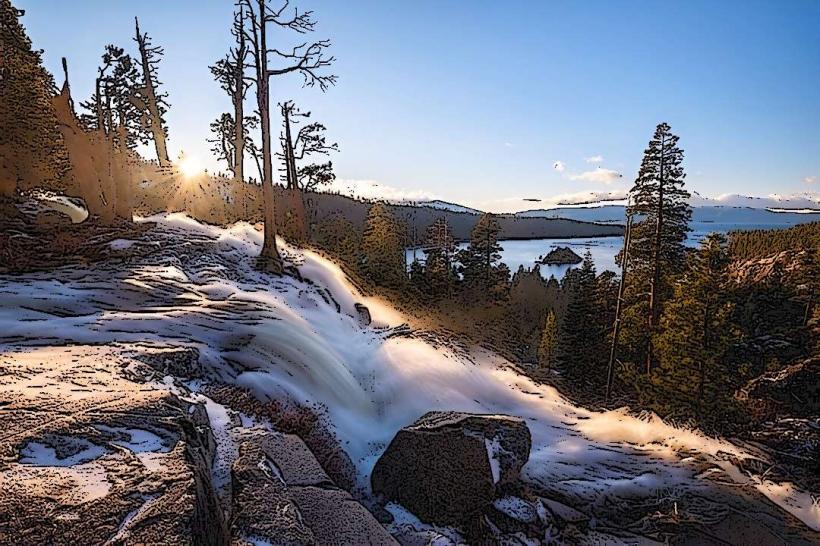
- Emerald Bay State Park (2.5km Northwest)
- Tallac Historic Site (4.0km Southwest)
- Heavenly Mountain Resort (1.0km Southeast)
- Lake Tahoe Nevada State Park (5.0km Northeast)
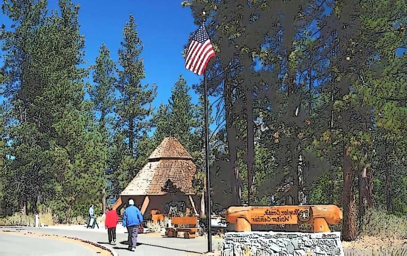
- Camp Richardson Historic Resort & Marina (3.0km West)