Landmark: North Cheyenne Cañon Park
City: Colorado Springs
Country: USA Colorado
Continent: North America
North Cheyenne Cañon Park, Colorado Springs, USA Colorado, North America
North Cheyenne Cañon Park is a municipal park located in Colorado Springs, Colorado. It encompasses a significant canyon system with varied terrain.
Visual Characteristics
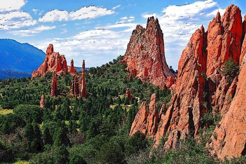
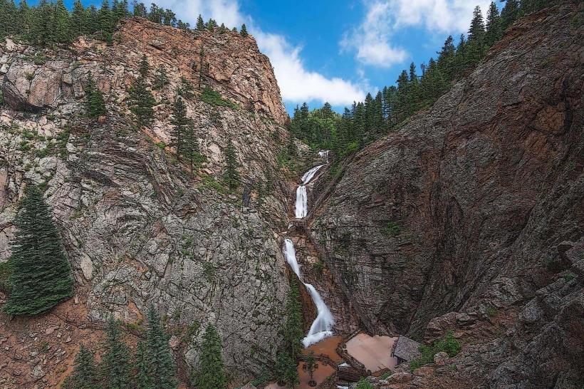
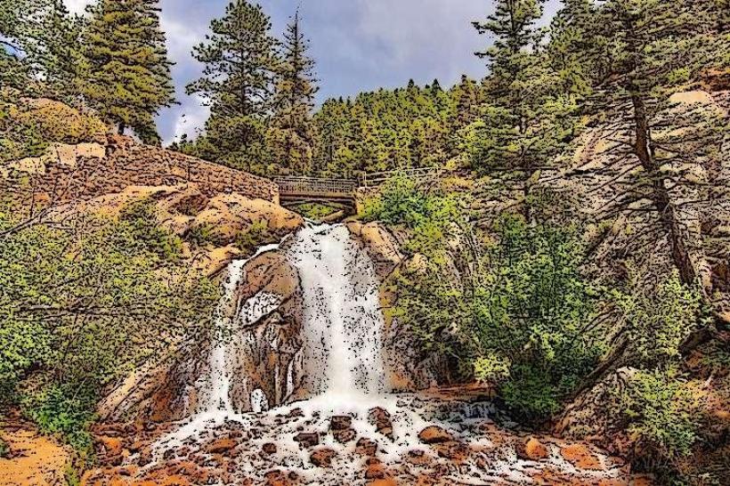
The canyon walls are primarily composed of Precambrian granite and gneiss, exhibiting a rough, fractured texture. Vegetation density varies, with Ponderosa pine, Douglas fir, and aspen dominating higher elevations, transitioning to scrub oak and grasses in drier areas. The North Cheyenne Creek flows through the canyon floor, its water color typically clear to slightly turbid depending on recent precipitation. Rock formations include sheer cliff faces and talus slopes.
Location & Access Logistics
The park entrance is situated at the western edge of Colorado Springs. Access is via North Cheyenne Cañon Road, which extends approximately 4 miles into the park from its intersection with 21st Street. Parking is available at designated lots, including the main lot near the Starsmore Visitor and Nature Center and smaller pull-offs along the road. Public transport options are limited; Colorado Springs Transit bus route 3 runs along 21st Street, requiring a walk to the park entrance.
Historical & Ecological Origin
The canyon was carved by the erosive action of North Cheyenne Creek over millions of years, a process driven by geological uplift and water flow. The area was historically used by Native American tribes, including the Ute people. The park was established in the early 20th century to preserve its natural features and provide recreational space for the growing city.
Key Highlights & Activities
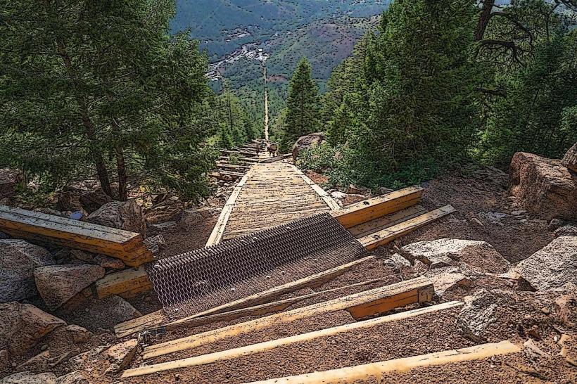
Hiking is a primary activity, with trails such as the Columbine Trail (moderate, 3.5 miles roundtrip) and the Seven Falls Trail (strenuous, access to Seven Falls, a privately owned attraction within the park). Rock climbing is permitted in designated areas. Wildlife viewing opportunities exist for mule deer, Abert's squirrels, and various bird species. Photography is possible throughout the park, particularly of the canyon walls and creek.
Infrastructure & Amenities
Restrooms are available at the Starsmore Visitor and Nature Center and at designated picnic areas. Shade is provided by the tree canopy in forested sections. Cell phone signal (4G/5G) is intermittent within the canyon, with better reception near the park entrance. No food vendors are located within the park; visitors should bring their own provisions.
Best Time to Visit
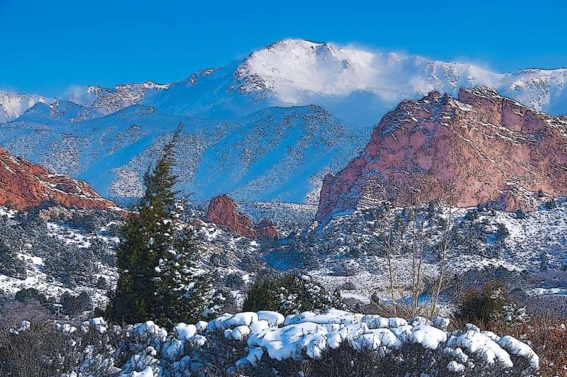
For photography, early morning or late afternoon light offers optimal illumination of the canyon walls. The best months for visiting are typically May through October, offering pleasant temperatures and accessible trails. Spring (April-May) can bring higher water flow to the creek. Winter visits are possible but may require snow-appropriate gear due to potential ice and snow accumulation on trails.
Facts & Legends
A local legend suggests that the canyon was a favored hunting ground for a legendary Ute chief. A verified historical fact is that the park contains remnants of mining activity from the late 19th century, though these are not actively promoted or accessible.
Nearby Landmarks
- Starsmore Visitor and Nature Center (0.1km East)
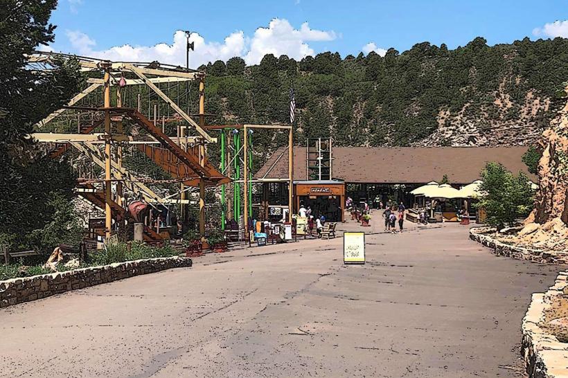
- Seven Falls (2.5km Southwest)
- Cheyenne Mountain Zoo (4.0km Southwest)
- The Broadmoor (4.5km Southeast)