Information
Landmark: Pangani RiverCity: Tanga
Country: Tanzania
Continent: Africa
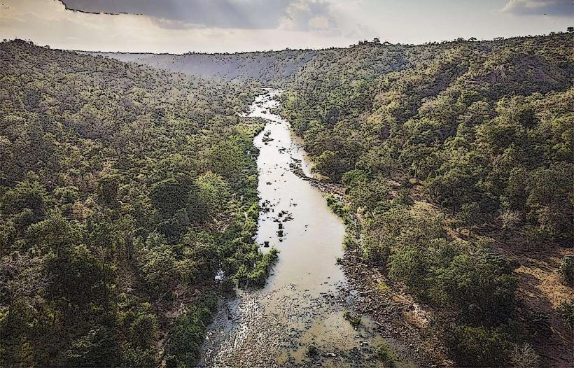
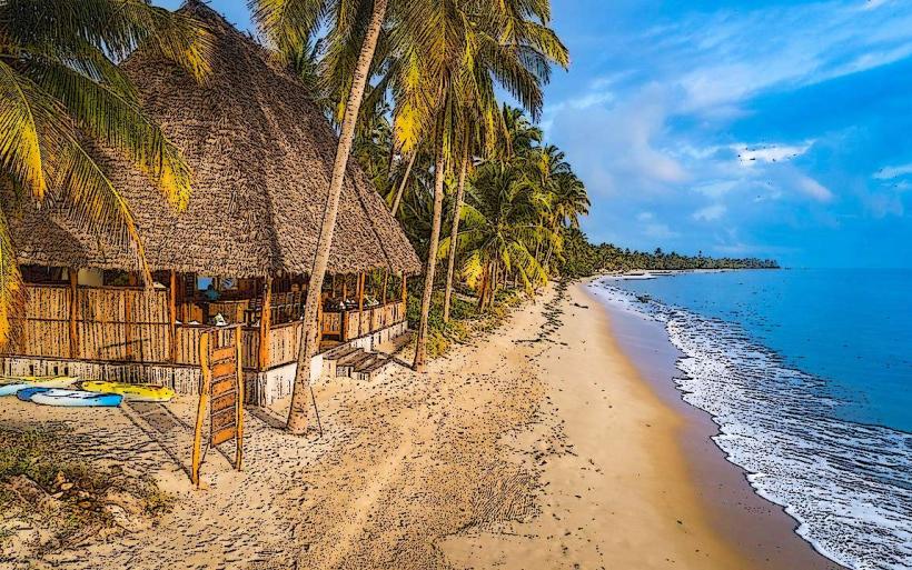
Pangani River, Tanga, Tanzania, Africa
The Pangani River is a significant waterway in northeastern Tanzania, flowing into the Indian Ocean.
It forms a natural boundary and ecological corridor in the Tanga Region.
Visual Characteristics
The river's width varies, averaging 50-100 meters in its lower reaches. Water color is typically brown due to sediment load, especially during the rainy season. The banks are characterized by dense tropical vegetation, including mangrove forests in the estuarine areas and riparian woodlands further inland. Sandbars are common, particularly near the mouth.
Location & Access Logistics
The Pangani River is located approximately 50 kilometers south of Tanga city. Access is primarily via the Tanga-Pangani Road (B122). From Tanga, drive south on the B122 for approximately 40 kilometers. Turn off onto a local dirt road signposted for Pangani town. Parking is available in Pangani town, with limited informal parking near river access points. Public transport options include daladalas (minibuses) from Tanga to Pangani town. Boat transfers across the river are available at specific points, particularly for reaching villages on the opposite bank.
Historical & Ecological Origin
The Pangani River basin is a geological formation shaped by tectonic activity and erosion over millennia. Its ecological significance lies in its role as a freshwater source supporting diverse aquatic life and a critical habitat for coastal ecosystems, including mangrove swamps that act as nurseries for marine species.
Key Highlights & Activities
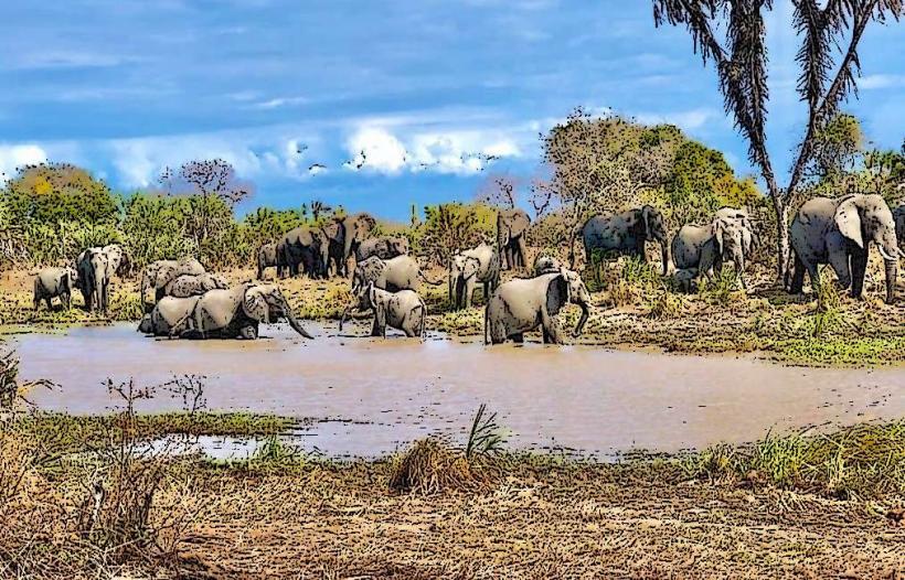
Boat trips along the river are possible, offering views of riparian wildlife. Fishing is a common activity for local communities. Birdwatching is facilitated by the diverse avian population along the riverbanks. Kayaking is feasible in calmer sections during the dry season.
Infrastructure & Amenities
Basic amenities are available in Pangani town, including small shops and guesthouses. Restrooms are generally found at guesthouses and designated public areas in town. Shade is provided by the dense vegetation along the river. Cell phone signal (2G/3G) is generally available in Pangani town and along the main road, but can be intermittent closer to the river.
Best Time to Visit
The dry season, from June to October, offers the most stable weather conditions and lower river levels, making access easier. The best time of day for observing wildlife is typically early morning or late afternoon when temperatures are cooler. High tide can affect access to certain estuarine areas.
Facts & Legends
The Pangani River was historically a vital trade route for ivory and slaves during the Omani Sultanate's influence. A local legend speaks of a giant crocodile said to inhabit a deep pool upstream, guarding ancient treasures.
Nearby Landmarks
- Pangani Town (0.5km West)
- Mwera Village (3km South)
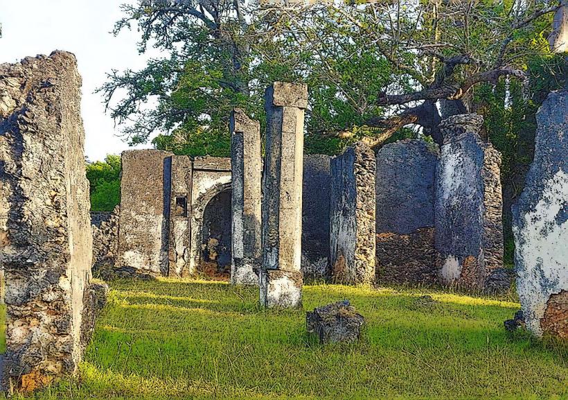
- Kivinje Ruins (4km South-East)
- Saadani National Park (25km South-West)