Information
Landmark: Wami RiverCity: Tanga
Country: Tanzania
Continent: Africa
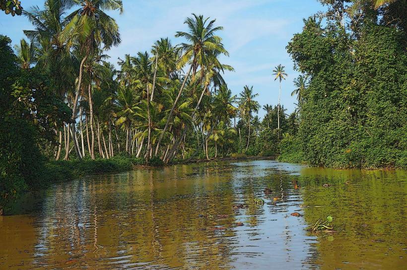
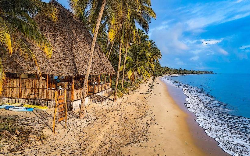
Wami River, Tanga, Tanzania, Africa
The Wami River is a significant waterway located in the Tanga Region of Tanzania. It flows into the Indian Ocean.
Visual Characteristics
The river's width varies, averaging 100 meters in its lower reaches. The water color is typically brown due to sediment load, especially during the rainy season. The banks are characterized by dense mangrove forests and alluvial plains. The riverbed consists of sand and silt.
Location & Access Logistics
The Wami River is situated approximately 150 kilometers west of Tanga city. Access is primarily via the Tanga-Moshi road (B1). Turn off onto a gravel track approximately 20 kilometers before reaching Muheza town, heading south. This track leads to the river estuary. No public transport directly serves the river access points. Vehicle access is limited to 4x4 vehicles during the wet season due to muddy conditions. Parking is informal and unmanaged at designated river access points.
Historical & Ecological Origin
The Wami River is an alluvial river, formed by the drainage of the eastern slopes of the Usambara Mountains. Its ecological significance lies in its role as a vital habitat for mangrove ecosystems and a migratory route for fish species. The river's delta is a Ramsar site, recognized for its wetland importance.
Key Highlights & Activities
Boat tours are available for observing mangrove ecosystems and birdlife. Fishing is practiced by local communities. Kayaking is possible in calmer sections of the river during low-current periods. Birdwatching is a primary activity, with opportunities to spot various resident and migratory species.
Infrastructure & Amenities
There are no permanent infrastructure facilities directly at the river access points. Basic shade may be available under trees. Cell phone signal is intermittent and unreliable. No food vendors are present at the river. Basic restroom facilities are absent.
Best Time to Visit
The dry season, from June to October, offers the most accessible conditions for vehicle travel and clearer water visibility. The best time of day for birdwatching is early morning and late afternoon. Tidal patterns influence navigability in the lower estuary; consult local guides for optimal times.
Facts & Legends
The Wami River estuary is a critical breeding ground for various fish species, supporting local fisheries. Local folklore speaks of ancient spirits residing within the mangrove roots, protecting the river's bounty.
Nearby Landmarks
- Usambara Mountains National Park (40km Northwest)
- Amboni Caves (55km Northeast)
- Saadani National Park (60km Southeast)
- Tanga City Centre (150km East)