Landmark: Port of Eilat
City: Eilat
Country: Israel
Continent: Asia
Port of Eilat, Eilat, Israel, Asia
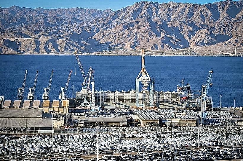
The Port of Eilat is a strategic maritime gateway located at the northernmost tip of the Gulf of Aqaba, serving as Israel's primary access point to the Indian Ocean and the Far East. Situated between the city's tourism-heavy resort zones and the southern coastal nature reserves, it facilitates the import of vehicles and the export of minerals.
Visual Characteristics
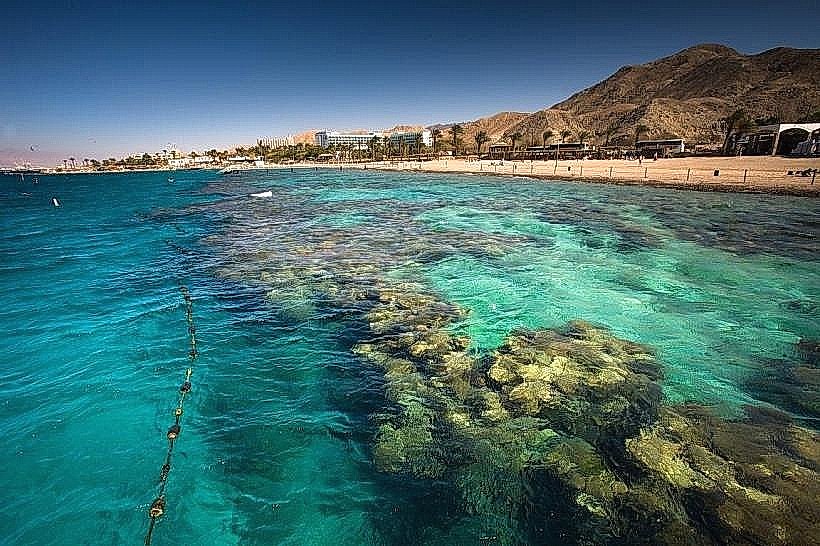
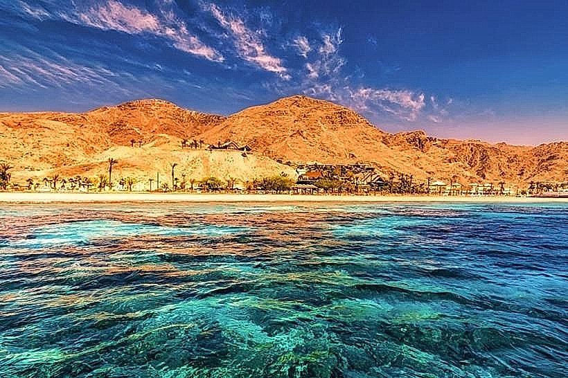
The port area is defined by massive industrial infrastructure, including deep-water piers, large-scale storage silos, and expansive asphalt lots used for vehicle storage. To the south, the Katzaa oil terminal features a series of specialized jetties and large storage tanks. The industrial grey of the cranes and warehouses contrasts with the deep blue water of the Gulf and the rugged, reddish-brown limestone of the surrounding Eilat Mountains.
Location & Access Logistics
The port is located along Highway 90 (Derech Mitsrayim), approximately 2km south of the Eilat city center. It is positioned between the Navy Base and the Dolphin Reef. While the inner operational areas are restricted to authorized personnel, the perimeter is visible from the main coastal road. Public bus lines 15 and 16 pass the port entrance regularly, connecting it to the central bus station.
Historical & Ecological Origin
Officially declared in 1952 and constructed between 1952 and 1956, the port was established to bypass the Suez Canal for trade with Asia and Africa. Historically, the site is near the ancient biblical station of Ezion-Geber. Ecologically, the port operates in a sensitive marine environment; it utilizes strict protocols to prevent mineral dust and oil spills from impacting the nearby coral reefs.
Key Highlights & Activities
Public activity is primarily limited to observation from the coastal road or the sea. The port is a major hub for car carriers arriving from Japan and South Korea, and for the export of potash and phosphates from the Dead Sea. Sightseeing boats frequently pass the port, providing views of the large commercial vessels and the specialized cranes used for bulk cargo.
Infrastructure & Amenities
The port features 528 meters of main quay with a maximum depth of 12 meters, allowing for the berthing of large bulk carriers. Infrastructure includes 160,000 cubic meters of storage for crude oil and extensive facilities for gas and fuel oil. The area is covered by 5G cellular signal. Public amenities like restrooms and food vendors are not located inside the industrial port but are available at the adjacent Dekel Beach and Dolphin Reef.
Best Time to Visit
The best time for viewing the port's industrial landscape is during the morning hours when the sun illuminates the mountains and the docked ships. For photography, the "Golden Hour" before sunset provides high-contrast views of the cranes against the Red Sea. Operational activity is highest during mid-week, as the port typically slows down during the Sabbath (Friday afternoon to Saturday evening).
Facts & Legends
The port's strategic importance has made it a focal point of regional conflict; Egyptian blockades of the Straits of Tiran, which cut off the port, were primary catalysts for the 1956 Suez Crisis and the 1967 Six-Day War. A local historical landmark at the northern edge of the port area is Um Rashrash, where the "Ink Flag" was raised in 1949, marking the capture of the area by Israeli forces.
Nearby Landmarks
Dolphin Reef: 0.3km South
Dekel Beach: 0.4km North
Eilat Naval Base: 0.2km South
Um Rashrash (Ink Flag Monument): 1.5km North
Eilat Museum & Art Gallery: 1.7km North