Landmark: Portland Forest Park
City: Portland
Country: USA Oregon
Continent: North America
Portland Forest Park, Portland, USA Oregon, North America
Portland Forest Park is a large urban forest located within the city limits of Portland, Oregon. It is one of the largest municipal parks in the United States.
Visual Characteristics
The park is characterized by dense coniferous and deciduous forest, primarily composed of Douglas fir, Western hemlock, Western red cedar, Bigleaf maple, and Red alder. Understory vegetation includes sword fern, Oregon grape, and salal. Numerous streams and ravines dissect the landscape. Elevation varies significantly, with ridges offering views of the surrounding metropolitan area and the Columbia River.
Location & Access Logistics
Portland Forest Park is situated west of downtown Portland. Access points are numerous along the western edge of the city. Major access roads include NW Skyline Boulevard, which runs along the park's eastern boundary, and NW Germantown Road. Parking is available at designated trailheads, such as the Lower Macleay Park entrance and the NW 53rd Drive trailhead. Public transport options include TriMet bus lines 63 (Skyline) and 15 (Germantown), with stops near park entrances.
Historical & Ecological Origin
The land that now constitutes Forest Park was largely logged in the late 19th and early 20th centuries. It was designated as a municipal park in 1948, with subsequent efforts focused on reforestation and preservation. Ecologically, it represents a remnant of the temperate rainforest ecosystem that once covered much of the Pacific Northwest.
Key Highlights & Activities
Hiking is the primary activity, with over 80 miles of trails. Specific trails include the Wildwood Trail (a 30.2-mile National Recreation Trail), the Lower Macleay Trail leading to the historic Macleay Park stone shelter, and the Firelane trails for varied terrain. Birdwatching is common due to the diverse avian population. Photography opportunities exist at viewpoints along NW Skyline Boulevard.
Infrastructure & Amenities
Restrooms are available at select major trailheads, such as Lower Macleay Park and the NW 53rd Drive trailhead. Shade is abundant throughout the park due to the dense tree canopy. Cell phone signal is intermittent and generally unreliable within the park's interior. Food vendors are not present within the park itself, but are located in nearby commercial areas along NW St. Helens Road and NW 23rd Avenue.
Best Time to Visit
For photography, early morning or late afternoon light provides optimal conditions. The best months for visiting are typically May through October, offering drier trail conditions. Spring (April-May) provides lush green foliage and blooming wildflowers. Winter months can bring rain and muddy trails.
Facts & Legends
The park contains the ruins of the Macleay Park stone shelter, built in the 1930s by the Civilian Conservation Corps. A local legend speaks of a hermit who once lived in the park's deeper sections, though this is unsubstantiated.
Nearby Landmarks
- Pittock Mansion (1.5km Southeast)
- Oregon Zoo (3.0km Southeast)
- Hoyt Arboretum (2.0km Southeast)
- Washington Park (3.5km Southeast)
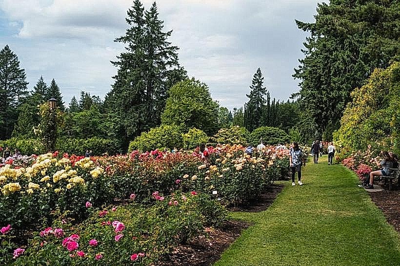
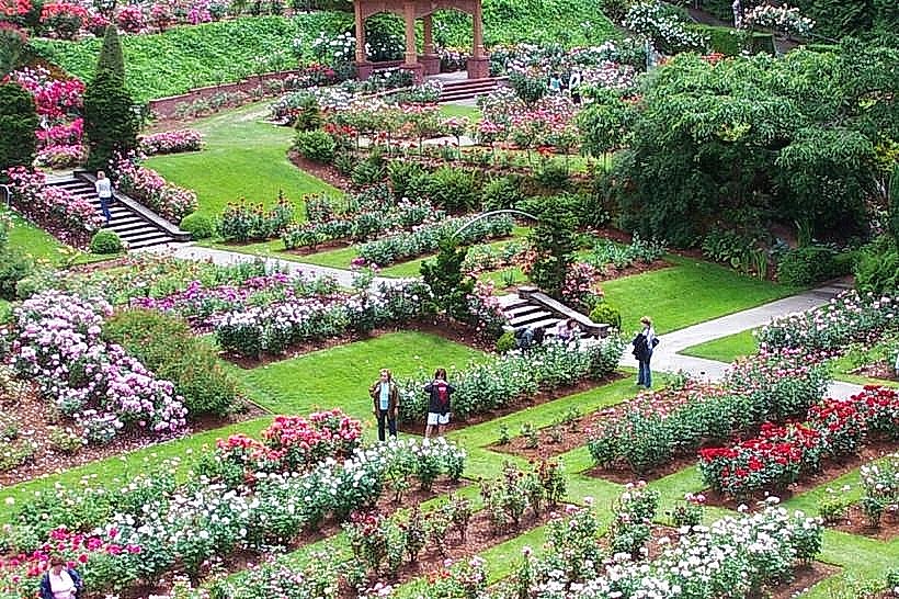
- International Rose Test Garden (3.8km Southeast)