Landmark: Sebeya River
City: Rubavu
Country: Rwanda
Continent: Africa
Sebeya River, Rubavu, Rwanda, Africa
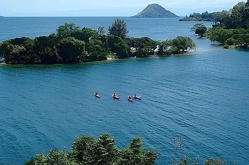
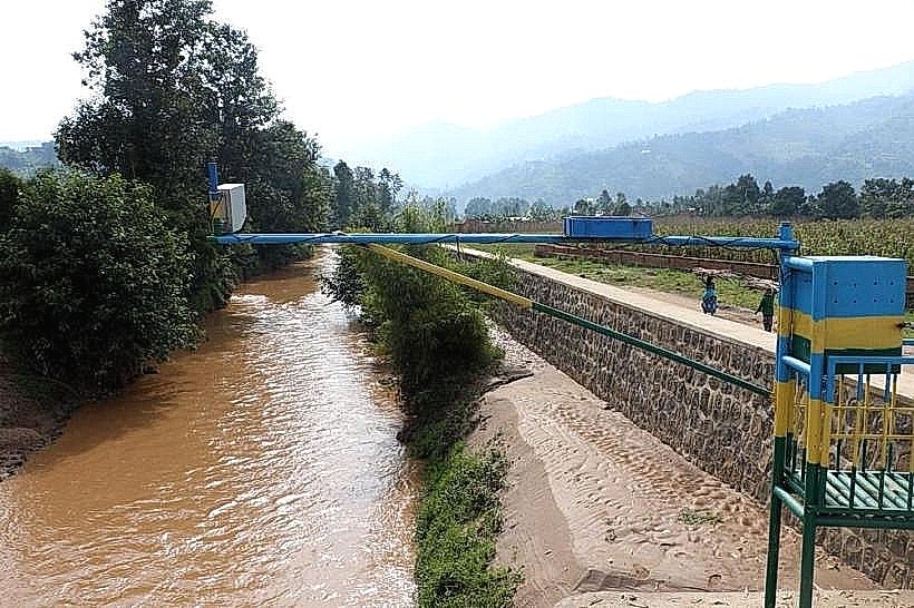
The Sebeya River is a critical hydrological feature in western Rwanda, flowing through the districts of Ngororero, Nyabihu, and Rubavu before discharging into Lake Kivu. It originates in the high-altitude rainforests of the Congo-Nile Divide at an elevation of approximately 2,700 meters.
Visual Characteristics
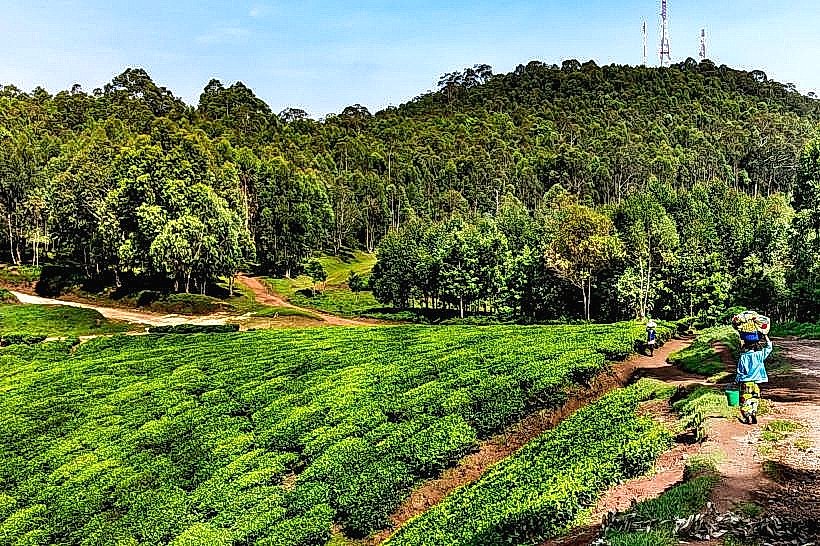
The river is characterized by a high sediment load, often giving the water a distinct reddish-brown or "chocolate" color, especially during the rainy seasons. It features several sections of rapid-flowing water and small cascades as it descends steep volcanic terrain. The riverbanks are heavily terraced for agriculture, with sections of reforested bamboo and indigenous trees meant to stabilize the soil.
Location & Access Logistics
The river is most accessible where it passes under the RN2 highway (Musanze-Gisenyi Road) near the Pfunda Tea Estate. From central Rubavu, the river's lower basin is a 10-minute drive. Pedestrian access is available via numerous local footpaths that follow the river through the Kanama and Nyamyumba sectors.
Historical & Ecological Origin
The Sebeya River was formed by the tectonic uplifting of the Albertine Rift, creating a steep catchment area of approximately 336 square kilometers. Historically, the river has been prone to flash flooding, leading to the implementation of the Sebeya Landscape Restoration Project. It is an essential source of water for both the Gihira Water Treatment Plant and the Keya Hydropower Plant.
Key Highlights & Activities
The river is a primary site for community-led landscape restoration tours, where visitors can observe check-dams and siltation ponds designed to manage water flow. Near the Pfunda area, the river provides scenic points for photography of the rural Rwandan countryside. Small-scale fishing by local residents is common in the slower-moving downstream sections.
Infrastructure & Amenities
Infrastructure along the river includes the Keya and Gihira dams and several reinforced concrete bridges. There are no public restrooms or food vendors along the riverbanks, as it is primarily a working agricultural and industrial landscape. 4G cellular signal is available in the valleys but can be intermittent in the deeper canyons of the upper catchment.
Best Time to Visit
The best time for observing the river’s power is during the peak rainy seasons (April–May and October–November), though this is also when sediment levels are highest. For hiking along the banks, the dry months of June to August provide stable ground and clear views of the surrounding hills.
Facts & Legends
A local "secret" is the presence of a small, hidden waterfall located several kilometers upstream from the Pfunda bridge, which is a frequent destination for local youth. Logistically, the river is the primary reason for the high fertility of the Rubavu plains, as it deposits nutrient-rich volcanic silt during its periodic swells.
Nearby Landmarks
Pfunda Tea Estate: 0.5km East
Gihira Water Treatment Plant: 1.5km North
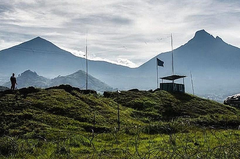
Mount Rubavu: 4.0km Northwest
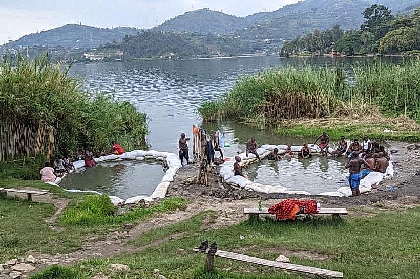
Nyamyumba Hot Springs: 8.0km Southwest
Bralirwa Brewery: 6.5km Southwest