Information
Landmark: Star-Spangled Banner Scenic BywayCity: Baltimore
Country: USA Maryland
Continent: North America
Star-Spangled Banner Scenic Byway, Baltimore, USA Maryland, North America
The Star-Spangled Banner Scenic Byway is a designated route in Maryland that commemorates the events surrounding the War of 1812 and the defense of Baltimore. It traces historical sites and natural landscapes connected to this period.
Visual Characteristics
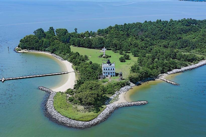
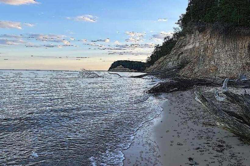
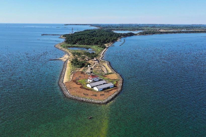
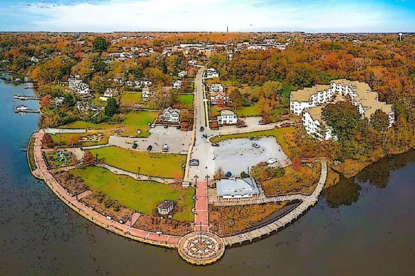
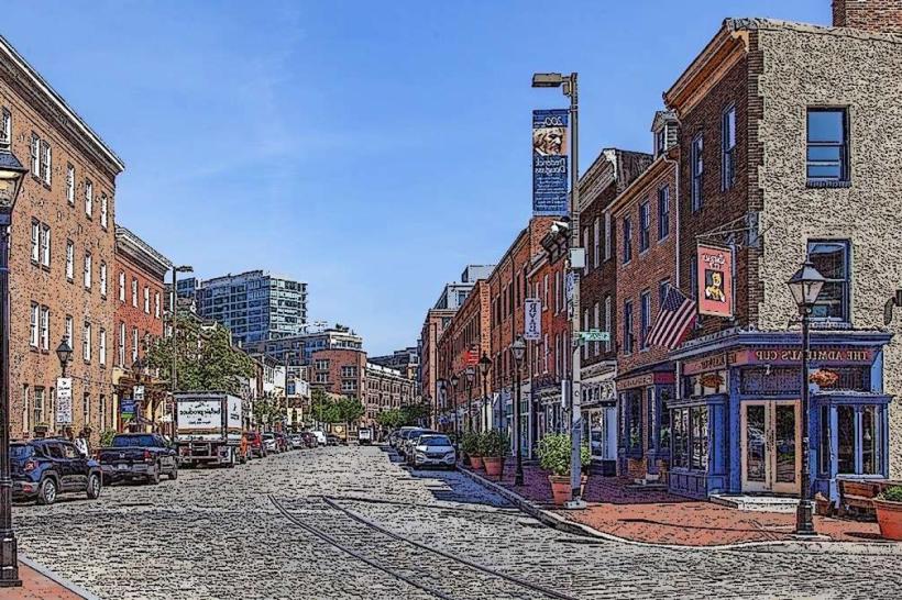
The byway traverses varied terrain, including coastal areas along the Chesapeake Bay, rolling hills of the Piedmont region, and urban landscapes within Baltimore. Roadside vegetation includes deciduous forests and agricultural fields. Coastal sections feature tidal marshes and open water views.
Location & Access Logistics
The byway begins in Baltimore, Maryland, and extends approximately 50 miles. Access points are numerous, with major entry points from Interstate 95 and U.S. Route 1. Specific segments can be accessed via local roads such as Maryland Route 151 and Maryland Route 157. Parking availability varies by historical site; some offer dedicated lots, while others have limited street parking. Public transport options are generally not available directly along the entire byway, requiring private vehicle use for comprehensive exploration.
Historical & Ecological Origin
The byway's origin is tied to the historical significance of the War of 1812, specifically the Battle of Baltimore in 1814. It highlights locations where American forces defended against British invasion. Ecologically, the route passes through the Chesapeake Bay watershed, an estuary system characterized by tidal influences and diverse aquatic and terrestrial habitats.
Key Highlights & Activities
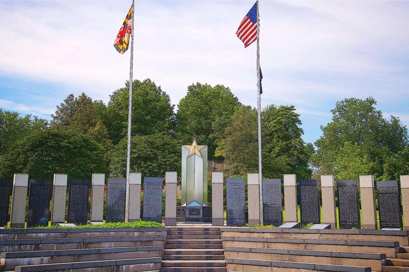
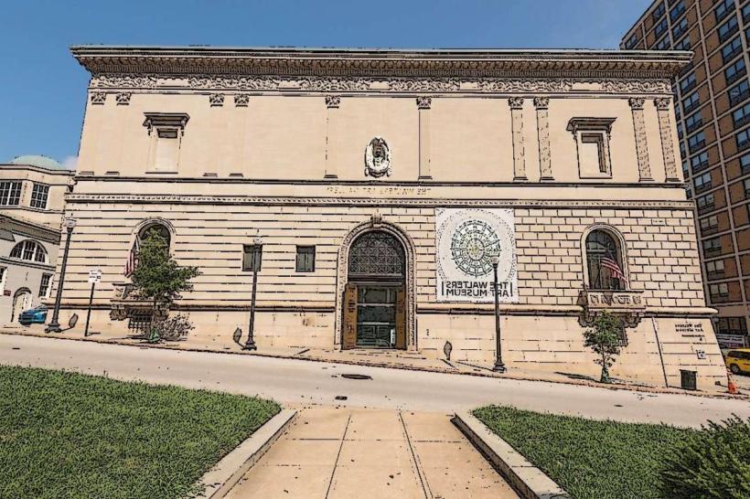
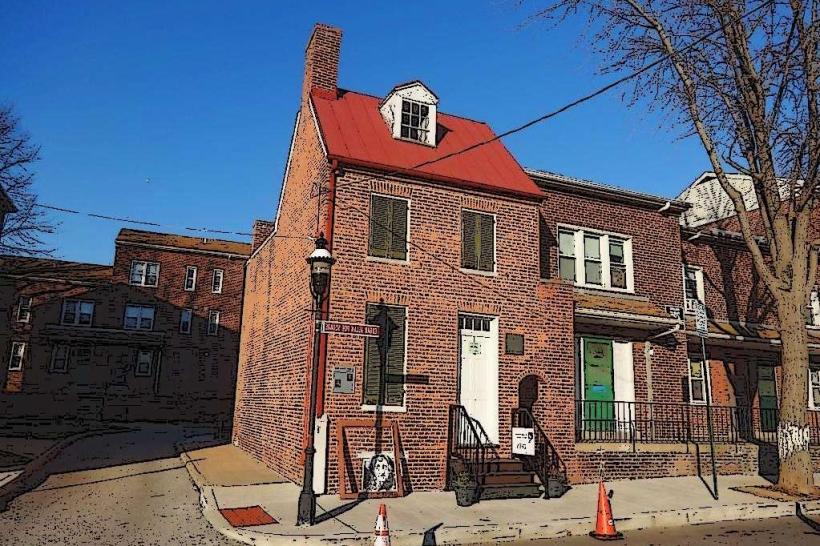
Visitors can explore Fort McHenry National Monument and Historic Shrine, the site where the Star-Spangled Banner was written. Other activities include visiting the Edgar Allan Poe House and Museum, touring the USS Constellation (a historic naval vessel), and driving through historic neighborhoods. Interpretive signage along the route provides historical context.
Infrastructure & Amenities
Restroom facilities are available at major historical sites and public parks along the byway. Shade is provided by trees in park areas and within historic districts. Cell phone signal (4G/5G) is generally available throughout most of the byway, though it may be intermittent in more remote or heavily wooded sections. Food vendors and restaurants are concentrated in Baltimore and surrounding towns, with limited options directly on some rural segments.
Best Time to Visit
The best time for visiting is from April to October, when weather conditions are most favorable for outdoor exploration. Mid-morning (9:00 AM - 11:00 AM) and late afternoon (3:00 PM - 5:00 PM) offer optimal lighting for photography of historical structures and landscapes. Tidal conditions are relevant for specific waterfront sites but do not impact general byway access.
Facts & Legends
A specific historical detail is that the Star-Spangled Banner flag, which inspired the national anthem, is preserved and displayed at the Smithsonian National Museum of American History in Washington D.C., though its defense occurred along this byway. A local legend suggests that during the bombardment of Fort McHenry, the sound of cannon fire could be heard as far away as Philadelphia.
Nearby Landmarks
- Fort McHenry National Monument and Historic Shrine (0.1km West)
- USS Constellation (1.5km Northwest)
- Edgar Allan Poe House and Museum (3.2km Northwest)
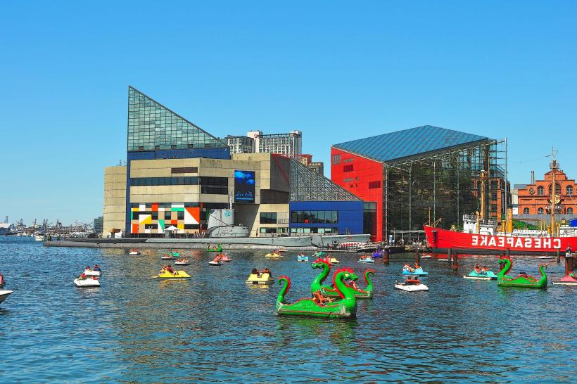
- Inner Harbor (1.8km Northwest)
- Federal Hill Park (2.5km Northwest)