Landmark: Tanoboase Sacred Grove
City: Sunyani
Country: Ghana
Continent: Africa
Tanoboase Sacred Grove, Sunyani, Ghana, Africa
Tano Boase Sacred Grove is a natural sedimentary rock formation and forest reserve located in the Techiman North District of the Bono East Region in Ghana. The site is situated approximately 15 kilometers north of the city of Techiman, near the village of Tanoboase.
Visual Characteristics
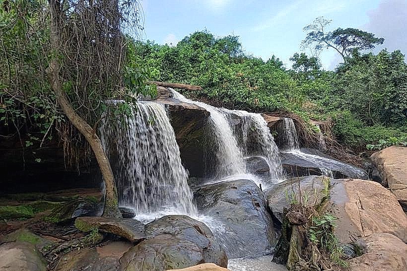
The grove is characterized by massive, weathered sandstone outcrops and layered sedimentary rock formations that reach heights of 30 meters. These golden-brown rock structures are interspersed with high-density semi-deciduous forest featuring mature mahogany and silk cotton trees. Narrow crevices, deep caves, and natural stone archways define the interior topography of the 1.5-square-kilometer protected area.
Location & Access Logistics
Access is via the N10 highway north from Techiman toward Kintampo, with a signposted turn-off leading 2 kilometers east to the Tanoboase village entrance. Public transport (tro-tros) running the Techiman-Kintampo route stop at the junction, while private vehicles can navigate the unpaved access road to a designated dirt parking area near the visitor center. The final approach to the rock formations requires a 500-meter uphill trek on marked forest trails.
Historical & Ecological Origin
The site is geologically part of the Voltaian Basin, formed through millions of years of water and wind erosion on sandstone strata. Historically, it is the ancestral home of the Bono people, who settled within the caves during the 13th century for protection during tribal conflicts. It remains a primary spiritual site as the believed earthly dwelling of the deity Taakora.
Key Highlights & Activities
Guided hiking tours cover the "Caves of the Ancestors" and the "Sacred Well," which maintains a constant water level year-round. Rock climbing and bouldering are permitted in designated areas under local supervision. Panoramic observation from the "Top of the World" peak provides views extending across the Bono East plains.
Infrastructure & Amenities
The visitor reception area includes basic restrooms and a small administrative office for permit processing. Shade is abundant within the rock overhangs and under the forest canopy, though the summit viewpoints are fully exposed to sunlight. Cellular signal is stable (4G) at higher elevations but drops to 2G or disappears entirely within the deep rock crevices and caves.
Best Time to Visit
Optimal visibility for photography occurs between 08:00 and 10:30, before the sun reaches its zenith and flattens the textures of the sandstone walls. The dry season from November to March is preferred for hiking as the sandstone surfaces can become dangerously slick during the rainy season (June–October).
Facts & Legends
Local tradition holds that the Bono ancestors emerged from the rocks themselves, and the site continues to host the annual Apoo Festival rituals. A verified historical oddity is the "natural refrigerator" effect found in the deep inner caves, where temperatures remain consistently 5–8 degrees Celsius lower than the external forest environment.
Nearby Landmarks
Forikrom Boten Caves: 4.5km West
Holy Family Hospital, Techiman: 14.8km South
Techiman Central Market: 15.5km South
Kristo Boase Monastery: 2.1km North