Landmark: Tel Aviv-Jaffa Waterfront
City: Jaffa
Country: Israel
Continent: Asia
Tel Aviv-Jaffa Waterfront, Jaffa, Israel, Asia
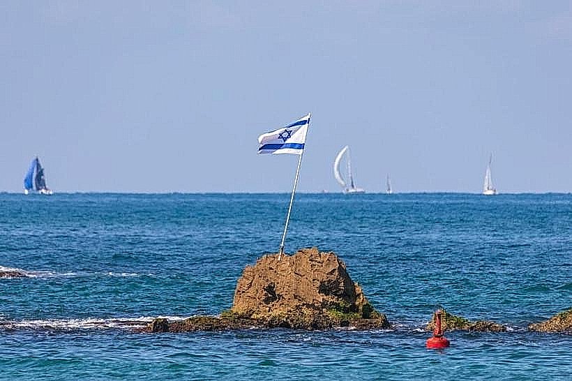
The Tel Aviv-Jaffa Waterfront is a continuous 14-kilometer coastal strip extending from the Herzliya border in the north to the southern limits of Jaffa. It serves as the city's primary recreational zone, characterized by a series of distinct beaches, promenades, and commercial ports.
Visual Characteristics
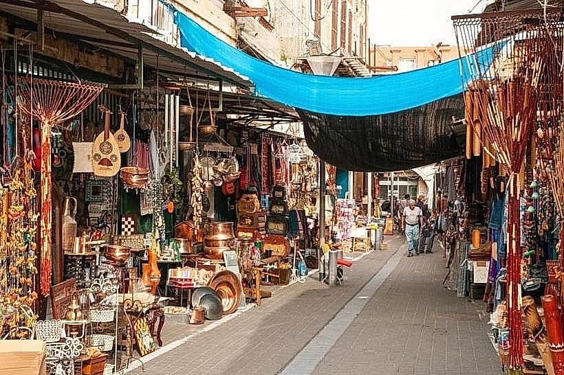
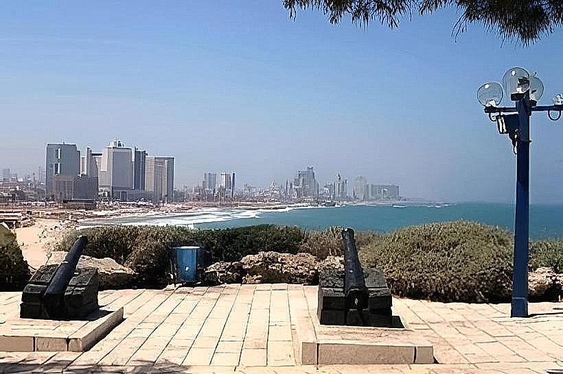
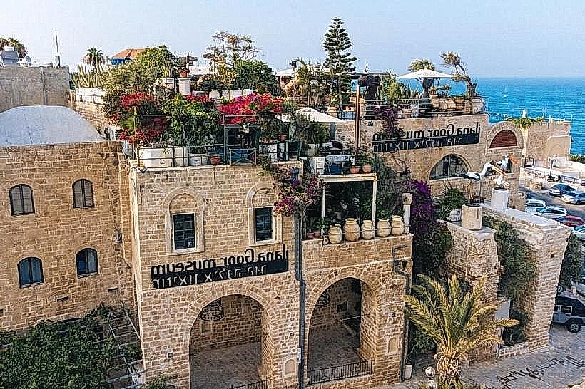
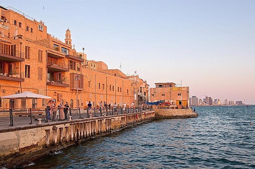
The waterfront is defined by a wide, paved pedestrian promenade (the Lahat Promenade) that separates the urban skyline from the Mediterranean Sea. The visual environment transitions from high-rise luxury hotels and glass towers in the central "Hotel Corridor" to the low-rise, ancient stone masonry of Jaffa. The coastline features fine-grained Mediterranean sand, reinforced by a series of T-shaped concrete breakwaters that create calm, artificial lagoons.
Location & Access Logistics
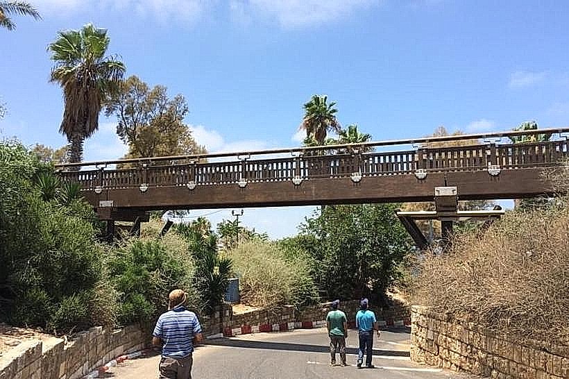
The waterfront runs parallel to HaYarkon Street and Herbert Samuel Street. It is accessible from any east-west street in the City Center. Public transit is high-density, with major bus lines (4, 10, 63, 66) and service taxis running one block inland. Dedicated subterranean parking lots are located at the Tel Aviv Port, Reading Power Station, Charles Clore Park, and the Jaffa Port.
Historical & Ecological Origin
The current promenade was significantly renovated in the 2010s to remove architectural barriers and reconnect the city with the sea. Geologically, the waterfront is part of the Sharon plain, consisting of Holocene sand dunes overlying Kurkar ridges. The ecosystem is managed to prevent coastal erosion, with seasonal sand-pumping operations used to maintain the width of the swimming beaches.
Key Highlights & Activities
Tel Aviv Port (Namal): A repurposed industrial wooden deck featuring high-end retail, markets, and nightlife.
The Central Beaches: Gordon, Frishman, and Bograshov are the primary sites for swimming, beach volleyball, and "Matkot" (paddleball).
Charles Clore Park: A vast seaside lawn connecting central Tel Aviv to Jaffa, popular for picnics and large-scale public festivals.
Separated Beach (Nordau): A fenced section providing gender-segregated swimming days for the Orthodox Jewish community.
Dog Beaches: Specific designated zones (such as near the Hilton and Charles Clore) where pets are permitted off-leash.
Infrastructure & Amenities
The waterfront features a continuous, segregated lane for cyclists and electric scooters. Public infrastructure is dense, including outdoor gyms, shaded pergolas, and "smart" benches with charging stations. 5G cellular coverage is exceptional along the entire coast. Public restrooms, indoor showers, and lockers are positioned at approximately 400-meter intervals at every official lifeguard station.
Best Time to Visit
Sunset is the peak hour for social activity and exercise. For a quieter experience, early morning (06:00–08:00) is used by local swimmers and runners. Friday afternoons are the highest-density period as residents gather for "Kabbalat Shabbat" drum circles at the Dolphinarium area. During the winter, the waterfront is a destination for viewing high-surf storms.
Facts & Legends
A verified ecological fact is that the sand on Tel Aviv’s beaches originates from the Ethiopian Highlands, carried by the Nile River into the Mediterranean and deposited northwards by longshore currents. Local legend claims that the "Matkot" paddleball game was invented on these shores in the 1920s; it has since become the unofficial national sport of the Tel Aviv waterfront.
Nearby Landmarks
Tel Aviv Port - Northern Terminus
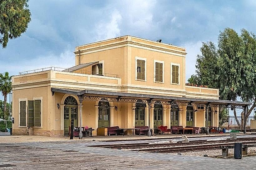
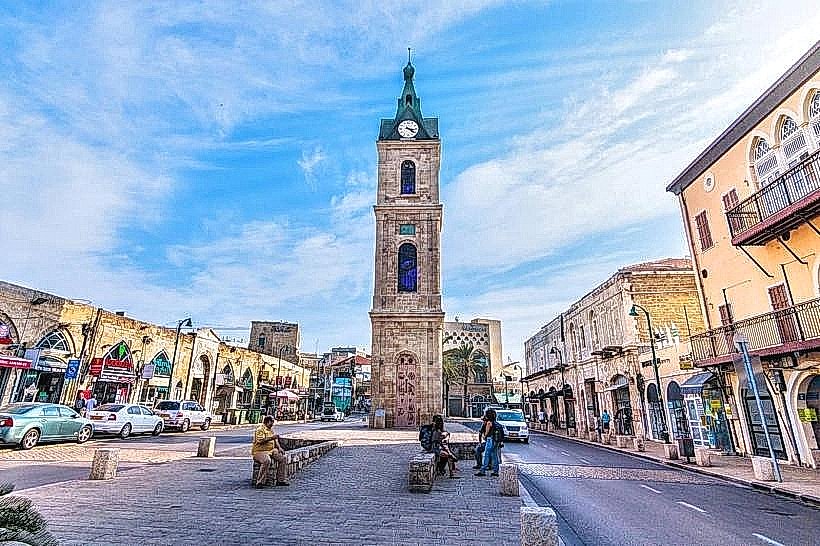
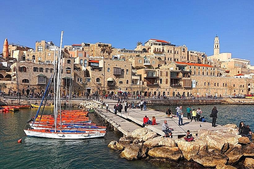
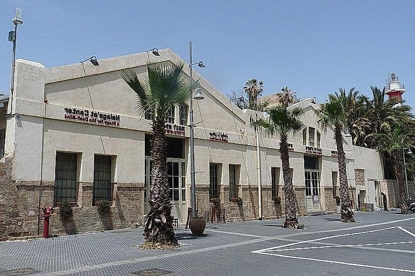
Jaffa Port - Southern Terminus
Independence Park - 0.2km East (North End)
Hassan Bek Mosque - 0.1km East (Central)
Yarkon River Mouth - Northern Boundary